7985 N 700 W Thorntown, IN 46071
Estimated Value: $427,000 - $495,644
3
Beds
3
Baths
2,988
Sq Ft
$157/Sq Ft
Est. Value
About This Home
This home is located at 7985 N 700 W, Thorntown, IN 46071 and is currently estimated at $467,881, approximately $156 per square foot. 7985 N 700 W is a home located in Boone County with nearby schools including Western Boone Junior/Senior High School.
Ownership History
Date
Name
Owned For
Owner Type
Purchase Details
Closed on
Nov 22, 2005
Sold by
Smith Angela D
Bought by
Jahn Andrew A and Jahn Christine L
Current Estimated Value
Home Financials for this Owner
Home Financials are based on the most recent Mortgage that was taken out on this home.
Original Mortgage
$190,000
Outstanding Balance
$85,056
Interest Rate
2.75%
Mortgage Type
Adjustable Rate Mortgage/ARM
Estimated Equity
$382,825
Purchase Details
Closed on
Aug 22, 2005
Sold by
Smith Angela D and Wilson Angela D
Bought by
Glidewell Kenneth S and Glidewell Ycaren M
Create a Home Valuation Report for This Property
The Home Valuation Report is an in-depth analysis detailing your home's value as well as a comparison with similar homes in the area
Home Values in the Area
Average Home Value in this Area
Purchase History
| Date | Buyer | Sale Price | Title Company |
|---|---|---|---|
| Jahn Andrew A | -- | -- | |
| Glidewell Kenneth S | -- | -- |
Source: Public Records
Mortgage History
| Date | Status | Borrower | Loan Amount |
|---|---|---|---|
| Open | Jahn Andrew A | $190,000 |
Source: Public Records
Tax History Compared to Growth
Tax History
| Year | Tax Paid | Tax Assessment Tax Assessment Total Assessment is a certain percentage of the fair market value that is determined by local assessors to be the total taxable value of land and additions on the property. | Land | Improvement |
|---|---|---|---|---|
| 2025 | $2,249 | $451,300 | $41,800 | $409,500 |
| 2024 | $2,249 | $373,900 | $41,800 | $332,100 |
| 2023 | $2,016 | $332,300 | $41,800 | $290,500 |
| 2022 | $2,095 | $317,300 | $41,800 | $275,500 |
| 2021 | $1,865 | $273,600 | $41,800 | $231,800 |
| 2020 | $1,762 | $260,700 | $41,800 | $218,900 |
| 2019 | $1,711 | $259,800 | $41,800 | $218,000 |
| 2018 | $1,620 | $251,600 | $41,800 | $209,800 |
| 2017 | $1,479 | $239,000 | $41,800 | $197,200 |
| 2016 | $1,317 | $224,900 | $41,800 | $183,100 |
| 2014 | $1,252 | $225,400 | $42,700 | $182,700 |
| 2013 | $1,391 | $221,800 | $42,700 | $179,100 |
Source: Public Records
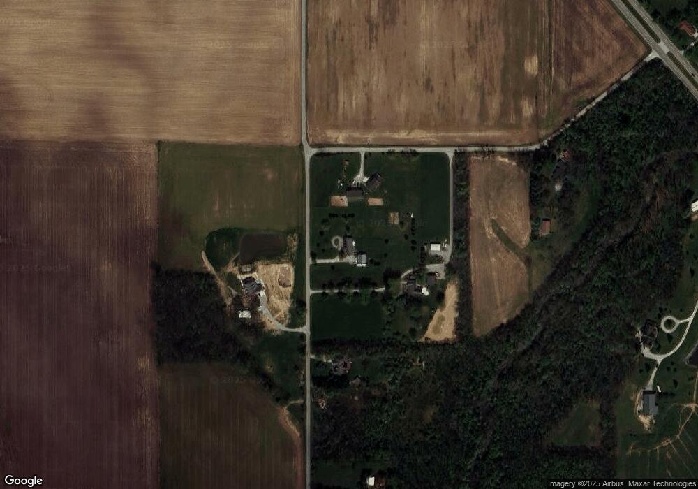
Map
Nearby Homes
- 328 N Front St
- 117 N Market St
- 6691 Indiana 47
- 6433 W State Road 47
- 223 S West St
- 7018 S County Road 430 W
- 5779 W State Road 47
- Ironwood Plan at Northwood Haven
- Spruce Plan at Northwood Haven
- Ashton Plan at Northwood Haven
- Palmetto Plan at Northwood Haven
- Bradford Plan at Northwood Haven
- Aspen II Plan at Northwood Haven
- Empress Plan at Northwood Haven
- Juniper Plan at Northwood Haven
- Chestnut Plan at Northwood Haven
- Norway Plan at Northwood Haven
- Cooper Plan at Northwood Haven
- 6139 Westfall Dr
- Juniper Plan at Westfall Place
- 7920 N 700 W
- 7860 N 700 W
- 6901 W 800 N
- 7879 N 700 W
- 7829 N 700 W
- 7697 N 700 W
- 000 N 700 W
- 0000 N 700 W
- 7880 N 700 W
- 7665 N 700 W
- 7900 N Us Highway 52
- 7980 N Us Highway 52
- 8101 N Us Highway 52
- 7744 N Sugar Creek Rd
- 7005 W 760 N
- 7125 W 760 N
- 7027 W 760 N
- 7157 W 760 N
- 7510 N Sugar Creek Rd
- 6584 W 800 N