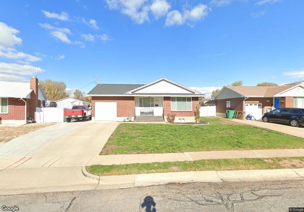
799 Adams St Layton, UT 84041
Estimated Value: $387,000 - $431,000
2
Beds
1
Bath
2,148
Sq Ft
$189/Sq Ft
Est. Value
About This Home
This home is located at 799 Adams St, Layton, UT 84041 and is currently estimated at $405,748, approximately $188 per square foot. 799 Adams St is a home located in Davis County with nearby schools including Whitesides Elementary School, Central Davis Junior High School, and Layton High School.
Ownership History
Date
Name
Owned For
Owner Type
Purchase Details
Closed on
Apr 28, 2010
Sold by
Mott Agnes M
Bought by
Russell Zachary Brock and Russell Megan Jean
Current Estimated Value
Home Financials for this Owner
Home Financials are based on the most recent Mortgage that was taken out on this home.
Original Mortgage
$141,432
Outstanding Balance
$96,502
Interest Rate
5.5%
Mortgage Type
FHA
Estimated Equity
$309,246
Purchase Details
Closed on
Sep 8, 1999
Sold by
Mott Lyle G and Mott Agnes M
Bought by
Mott Lyle G and Mott Agnes M
Create a Home Valuation Report for This Property
The Home Valuation Report is an in-depth analysis detailing your home's value as well as a comparison with similar homes in the area
Home Values in the Area
Average Home Value in this Area
Purchase History
| Date | Buyer | Sale Price | Title Company |
|---|---|---|---|
| Russell Zachary Brock | -- | Security Title Of Davis C | |
| Mott Lyle G | -- | -- |
Source: Public Records
Mortgage History
| Date | Status | Borrower | Loan Amount |
|---|---|---|---|
| Open | Russell Zachary Brock | $141,432 |
Source: Public Records
Tax History Compared to Growth
Tax History
| Year | Tax Paid | Tax Assessment Tax Assessment Total Assessment is a certain percentage of the fair market value that is determined by local assessors to be the total taxable value of land and additions on the property. | Land | Improvement |
|---|---|---|---|---|
| 2025 | $1,975 | $207,350 | $103,254 | $104,096 |
| 2024 | $1,914 | $202,400 | $120,237 | $82,163 |
| 2023 | $1,760 | $328,000 | $142,251 | $185,749 |
| 2022 | $1,831 | $185,350 | $75,418 | $109,932 |
| 2021 | $1,583 | $239,000 | $106,338 | $132,662 |
| 2020 | $1,436 | $208,000 | $89,245 | $118,755 |
| 2019 | $1,410 | $200,000 | $84,552 | $115,448 |
| 2018 | $1,264 | $180,000 | $84,552 | $95,448 |
| 2016 | $1,083 | $79,530 | $27,162 | $52,368 |
| 2015 | $1,031 | $71,885 | $27,162 | $44,723 |
| 2014 | $1,266 | $90,270 | $27,162 | $63,108 |
| 2013 | -- | $69,268 | $18,612 | $50,656 |
Source: Public Records
Map
Nearby Homes
- 942 E Gentile St
- 431 N 1050 E
- 1168 Holmes Creek Ln
- 1247 E 300 N
- 86 Mill Rd
- 110 Mill Rd
- 508 N Adamswood Rd
- 556 N Fairfield Rd Unit A2
- 556 N Fairfield Rd Unit D1
- 556 N Fairfield Rd Unit D2
- 556 N Fairfield Rd Unit A3
- 556 N Fairfield Rd Unit D3
- 556 N Fairfield Rd Unit D4
- 556 N Fairfield Rd Unit A1
- 556 N Fairfield Rd Unit A4
- 861 E 575 N
- 857 E 575 N
- 479 N 1375 E
- 617 E 405 S
- 580 N Allanwood Place