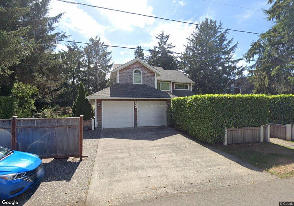
799 G St Seaside, OR 97138
Estimated Value: $1,070,000 - $1,334,000
4
Beds
3
Baths
2,850
Sq Ft
$408/Sq Ft
Est. Value
About This Home
This home is located at 799 G St, Seaside, OR 97138 and is currently estimated at $1,163,697, approximately $408 per square foot. 799 G St is a home located in Clatsop County with nearby schools including Seaside High School.
Ownership History
Date
Name
Owned For
Owner Type
Purchase Details
Closed on
Dec 18, 2024
Sold by
Mcnamara Family Trust and Mcnamara Thomas F
Bought by
Mcnamara Kids Llc
Current Estimated Value
Purchase Details
Closed on
May 10, 2022
Sold by
Mcnamara Thomas F
Bought by
Mcnamara Family Trust
Purchase Details
Closed on
Jul 8, 2015
Sold by
Parkel Clay A and Parkell Michelle K
Bought by
Mcnamara Thomas C and Mcnamara Kari L
Home Financials for this Owner
Home Financials are based on the most recent Mortgage that was taken out on this home.
Original Mortgage
$445,000
Interest Rate
3.87%
Mortgage Type
Adjustable Rate Mortgage/ARM
Purchase Details
Closed on
Jun 4, 2013
Sold by
Smith Foster Clayton
Bought by
Hayden Suzanne C and Parkerl Michelle K
Purchase Details
Closed on
Nov 22, 2005
Sold by
Parkel Michelle K and Parkel Clay A
Bought by
Parkel Clay A and Parkel Michelle K
Create a Home Valuation Report for This Property
The Home Valuation Report is an in-depth analysis detailing your home's value as well as a comparison with similar homes in the area
Purchase History
| Date | Buyer | Sale Price | Title Company |
|---|---|---|---|
| Mcnamara Kids Llc | -- | None Listed On Document | |
| Mcnamara Family Trust | -- | Lynch Murphy Mclane Llp | |
| Mcnamara Thomas C | $556,250 | Multiple | |
| Hayden Suzanne C | -- | None Available | |
| Parkel Clay A | -- | -- |
Source: Public Records
Mortgage History
| Date | Status | Borrower | Loan Amount |
|---|---|---|---|
| Previous Owner | Mcnamara Thomas C | $445,000 |
Source: Public Records
Tax History
| Year | Tax Paid | Tax Assessment Tax Assessment Total Assessment is a certain percentage of the fair market value that is determined by local assessors to be the total taxable value of land and additions on the property. | Land | Improvement |
|---|---|---|---|---|
| 2025 | $7,558 | $691,953 | -- | -- |
| 2024 | $7,683 | $671,800 | -- | -- |
| 2023 | $7,468 | $652,234 | $0 | $0 |
| 2022 | $7,244 | $633,238 | $0 | $0 |
| 2021 | $7,395 | $614,795 | $0 | $0 |
| 2020 | $7,133 | $596,890 | $0 | $0 |
| 2019 | $6,950 | $579,505 | $0 | $0 |
Source: Public Records
Map
Nearby Homes
- 934 H St
- 782 Woodland Ct
- 1265 D St
- 1255 A St
- 2674 U S 101
- 3389 U S 101
- 3387-3389 U S 101
- 802 25th Ave
- 2657 N Hwy 101 Unit 6
- 735 3rd St
- 616 24th Ave
- 1065 Picture Place
- 0 Cross Creek St Unit 12
- 0 Cross Creek St Unit 10
- 0 Cross Creek St Unit 11
- 0 Cross Creek St Unit 26-112
- 0 Cross Creek St Unit 13
- 0 Cross Creek St Unit 26-114
- 0 Cross Creek St Unit 26-115
- 0 Cross Creek St Unit 26-116
Your Personal Tour Guide
Ask me questions while you tour the home.