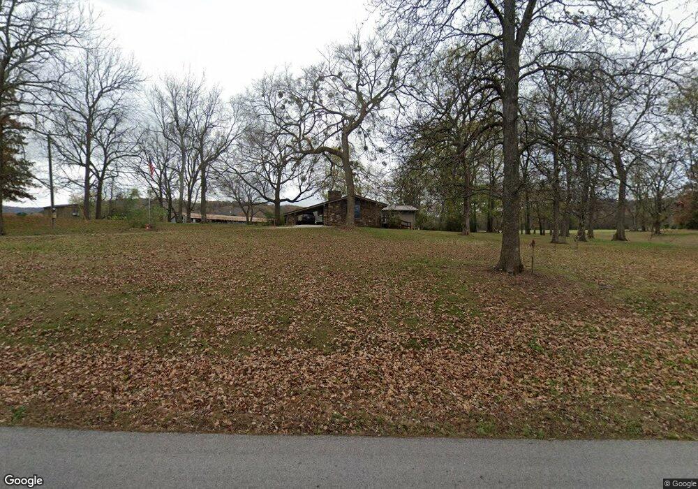
799 Mcknight Ave West Fork, AR 72774
Estimated Value: $284,000 - $312,000
3
Beds
2
Baths
1,484
Sq Ft
$203/Sq Ft
Est. Value
About This Home
This home is located at 799 Mcknight Ave, West Fork, AR 72774 and is currently estimated at $300,612, approximately $202 per square foot. 799 Mcknight Ave is a home located in Washington County with nearby schools including West Fork Elementary School, West Fork Middle School, and West Fork High School.
Ownership History
Date
Name
Owned For
Owner Type
Purchase Details
Closed on
May 2, 2014
Sold by
Baker Doyle A and Baker Hazel L
Bought by
Griffith William C and Griffith Frances T
Current Estimated Value
Home Financials for this Owner
Home Financials are based on the most recent Mortgage that was taken out on this home.
Original Mortgage
$60,000
Interest Rate
4.36%
Mortgage Type
Credit Line Revolving
Purchase Details
Closed on
Mar 3, 1995
Bought by
Reynolds Randall R and Reynolds Shirley
Purchase Details
Closed on
Feb 16, 1995
Bought by
Heler Timothy Thomas and Heler Holly R
Purchase Details
Closed on
Feb 1, 1995
Bought by
Timothy Helder
Purchase Details
Closed on
Aug 19, 1986
Bought by
Helder Timothy Thomas
Purchase Details
Closed on
Jan 1, 1986
Bought by
Helder Timothy Thomas and Helder Dawn
Create a Home Valuation Report for This Property
The Home Valuation Report is an in-depth analysis detailing your home's value as well as a comparison with similar homes in the area
Home Values in the Area
Average Home Value in this Area
Purchase History
| Date | Buyer | Sale Price | Title Company |
|---|---|---|---|
| Griffith William C | $60,000 | None Available | |
| Reynolds Randall R | $80,000 | -- | |
| Heler Timothy Thomas | -- | -- | |
| Timothy Helder | -- | -- | |
| Helder Timothy Thomas | -- | -- | |
| Helder Timothy Thomas | -- | -- |
Source: Public Records
Mortgage History
| Date | Status | Borrower | Loan Amount |
|---|---|---|---|
| Closed | Griffith William C | $60,000 |
Source: Public Records
Tax History Compared to Growth
Tax History
| Year | Tax Paid | Tax Assessment Tax Assessment Total Assessment is a certain percentage of the fair market value that is determined by local assessors to be the total taxable value of land and additions on the property. | Land | Improvement |
|---|---|---|---|---|
| 2025 | $1,126 | $53,260 | $16,030 | $37,230 |
| 2024 | $1,222 | $53,260 | $16,030 | $37,230 |
| 2023 | $1,307 | $53,260 | $16,030 | $37,230 |
| 2022 | $1,357 | $36,570 | $8,020 | $28,550 |
| 2021 | $1,357 | $36,570 | $8,020 | $28,550 |
| 2020 | $1,357 | $36,570 | $8,020 | $28,550 |
| 2019 | $1,193 | $29,520 | $7,020 | $22,500 |
| 2018 | $1,218 | $29,520 | $7,020 | $22,500 |
| 2017 | $1,173 | $29,520 | $7,020 | $22,500 |
| 2016 | $1,173 | $29,520 | $7,020 | $22,500 |
| 2015 | $1,173 | $29,520 | $7,020 | $22,500 |
| 2014 | $1,230 | $30,620 | $8,020 | $22,600 |
Source: Public Records
Map
Nearby Homes
- 696 E Thornstone Ave
- 260 Culp Trail
- 222 Rivendale Dr
- 503 Clark Ave
- 497 Clark Ave
- 378 Hidden Creek Place
- Springs 1445 Plan at Rolling Plains
- Eureka 1536 Plan at Rolling Plains
- Oak 1463 Plan at Rolling Plains
- Magnolia 1556 Plan at Rolling Plains
- Ashton 1496 Plan at Rolling Plains
- Ouachita 1669 Plan at Rolling Plains
- Osage 1567 Plan at Rolling Plains
- Maple 1659 Plan at Rolling Plains
- 340 W Smith St
- 393 W Smith St
- 365 W Smith St
- 359 W Smith St
- 339 W Smith St
- 327 W Smith St
- 779 Mcknight Ave
- 829 Mcknight Ave
- 790 Mcknight Ave
- 794 Mcknight Ave
- 6.865 acres Mcknight St
- 755 Mcknight Ave
- 0 Mcknight Ave
- 767 Mcknight Ave
- 740 Mcknight Ave
- 735 Mcknight Ave
- - Mcknight Ave
- 832 Mcknight Ave
- 730 Mcknight Ave
- 903 Mcknight Ave
- 727 Mcknight Ave
- 0 Lot 1 Bullard Rd Unit 670326
- 850 Mcknight Ave
- 945 Mcknight Ave
- Lot 2 Bullard Rd
- 715 Mcknight Ave