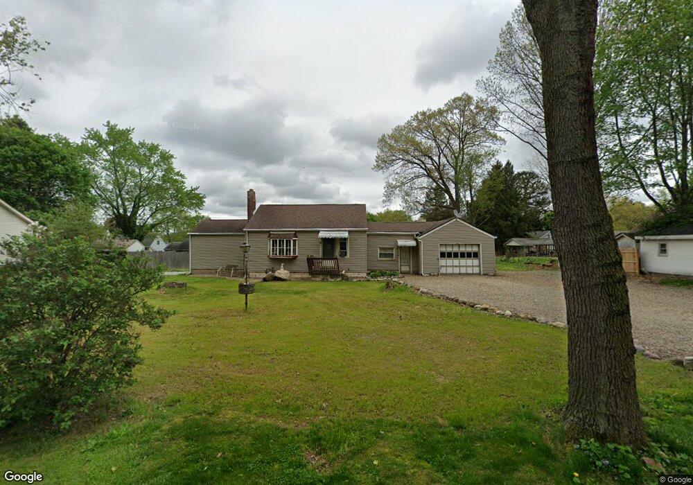
799 Mohawk Trail Akron, OH 44312
Ellet NeighborhoodEstimated Value: $130,000 - $163,121
3
Beds
1
Bath
910
Sq Ft
$162/Sq Ft
Est. Value
About This Home
This home is located at 799 Mohawk Trail, Akron, OH 44312 and is currently estimated at $147,280, approximately $161 per square foot. 799 Mohawk Trail is a home located in Summit County with nearby schools including Ellet High School, Summit Academy Akron Elementary School, and Hatton Community Learning Center.
Ownership History
Date
Name
Owned For
Owner Type
Purchase Details
Closed on
Sep 20, 2011
Sold by
Bishop Vincent E
Bought by
Legg Ii Don D
Current Estimated Value
Home Financials for this Owner
Home Financials are based on the most recent Mortgage that was taken out on this home.
Original Mortgage
$53,507
Outstanding Balance
$36,395
Interest Rate
4.12%
Mortgage Type
FHA
Estimated Equity
$110,885
Purchase Details
Closed on
Sep 2, 2003
Sold by
Cole Jerry B
Bought by
Cole Jerry B and Cole Barbara J
Create a Home Valuation Report for This Property
The Home Valuation Report is an in-depth analysis detailing your home's value as well as a comparison with similar homes in the area
Home Values in the Area
Average Home Value in this Area
Purchase History
| Date | Buyer | Sale Price | Title Company |
|---|---|---|---|
| Legg Ii Don D | $54,900 | Barrister | |
| Cole Jerry B | -- | -- |
Source: Public Records
Mortgage History
| Date | Status | Borrower | Loan Amount |
|---|---|---|---|
| Open | Legg Ii Don D | $53,507 |
Source: Public Records
Tax History
| Year | Tax Paid | Tax Assessment Tax Assessment Total Assessment is a certain percentage of the fair market value that is determined by local assessors to be the total taxable value of land and additions on the property. | Land | Improvement |
|---|---|---|---|---|
| 2024 | $2,452 | $47,933 | $16,489 | $31,444 |
| 2023 | $2,452 | $47,933 | $16,489 | $31,444 |
| 2022 | $2,205 | $33,881 | $11,610 | $22,271 |
| 2021 | $2,207 | $33,881 | $11,610 | $22,271 |
| 2020 | $2,173 | $33,880 | $11,610 | $22,270 |
| 2019 | $2,034 | $28,810 | $11,610 | $17,200 |
| 2018 | $2,006 | $28,810 | $11,610 | $17,200 |
| 2017 | $2,039 | $28,810 | $11,610 | $17,200 |
| 2016 | $2,041 | $28,810 | $11,610 | $17,200 |
| 2015 | $2,039 | $28,810 | $11,610 | $17,200 |
| 2014 | $2,022 | $28,810 | $11,610 | $17,200 |
| 2013 | $2,107 | $30,690 | $11,610 | $19,080 |
Source: Public Records
Map
Nearby Homes
- 805 Utica Ave
- 2323 Mingo Trail
- 931 Crestline Dr
- 2226 Quayle Dr
- 640 Plainfield Rd
- 961 Crestline Dr
- 2511 Ogden Ave
- 2199 Kelty Ct Unit 29
- 1054 Crestline Dr
- 1103 Crestline Dr
- 572 Cora Ave
- 2077 Coleman Ave
- 2138 Forest Oak Dr
- 601 Cora Ave
- 2616 Terrace Ave
- 581 Stanley Rd
- 487 Hilbish Ave
- 480 Wirth Ave
- 404 Wirth Ave
- 412 Stevenson Ave
- 2275 Hillstock Ave
- 2275 Hillstock Ave
- 791 Mohawk Trail
- 2291 Hillstock Ave
- 804 Utica Ave
- 792 Utica Ave
- 848 Mohawk Trail
- 785 Mohawk Trail
- 858 Mohawk Trail
- 852 Utica Ave
- 852 Utica Ave
- 786 Utica Ave
- 836 Mohawk Trail
- 2276 Hillstock Ave
- 2276 Hillstock Ave
- 779 Plainfield Rd
- 780 Utica Ave
- 864 Utica Ave
- 772 Utica Ave
- 872 Mohawk Trail
Your Personal Tour Guide
Ask me questions while you tour the home.