799 Mohegan Trail Block Island, RI 02807
Estimated Value: $1,561,756 - $2,372,000
3
Beds
1
Bath
908
Sq Ft
$2,053/Sq Ft
Est. Value
About This Home
This home is located at 799 Mohegan Trail, Block Island, RI 02807 and is currently estimated at $1,863,939, approximately $2,052 per square foot. 799 Mohegan Trail is a home with nearby schools including Block Island School.
Ownership History
Date
Name
Owned For
Owner Type
Purchase Details
Closed on
Nov 25, 1998
Sold by
Trust Jean Napier
Bought by
Steele Ronald and Steele Bonnie
Current Estimated Value
Home Financials for this Owner
Home Financials are based on the most recent Mortgage that was taken out on this home.
Original Mortgage
$160,000
Outstanding Balance
$36,501
Interest Rate
6.83%
Estimated Equity
$1,827,438
Create a Home Valuation Report for This Property
The Home Valuation Report is an in-depth analysis detailing your home's value as well as a comparison with similar homes in the area
Home Values in the Area
Average Home Value in this Area
Purchase History
| Date | Buyer | Sale Price | Title Company |
|---|---|---|---|
| Steele Ronald | $495,000 | -- |
Source: Public Records
Mortgage History
| Date | Status | Borrower | Loan Amount |
|---|---|---|---|
| Open | Steele Ronald | $160,000 |
Source: Public Records
Tax History Compared to Growth
Tax History
| Year | Tax Paid | Tax Assessment Tax Assessment Total Assessment is a certain percentage of the fair market value that is determined by local assessors to be the total taxable value of land and additions on the property. | Land | Improvement |
|---|---|---|---|---|
| 2024 | $7,926 | $1,435,900 | $1,381,400 | $54,500 |
| 2023 | $8,644 | $1,435,900 | $1,381,400 | $54,500 |
| 2022 | $8,992 | $1,270,000 | $1,223,840 | $46,160 |
| 2021 | $8,509 | $1,270,000 | $1,223,840 | $46,160 |
| 2020 | $8,077 | $1,270,000 | $1,223,840 | $46,160 |
| 2019 | $7,823 | $1,270,000 | $1,223,840 | $46,160 |
| 2018 | $7,522 | $1,264,240 | $1,223,840 | $40,400 |
| 2017 | $7,408 | $1,264,240 | $1,223,840 | $40,400 |
| 2016 | $7,231 | $1,264,240 | $1,223,840 | $40,400 |
| 2015 | $8,720 | $1,582,600 | $1,529,800 | $52,800 |
| 2014 | $8,451 | $1,582,600 | $1,529,800 | $52,800 |
| 2013 | $8,245 | $1,582,600 | $1,529,800 | $52,800 |
Source: Public Records
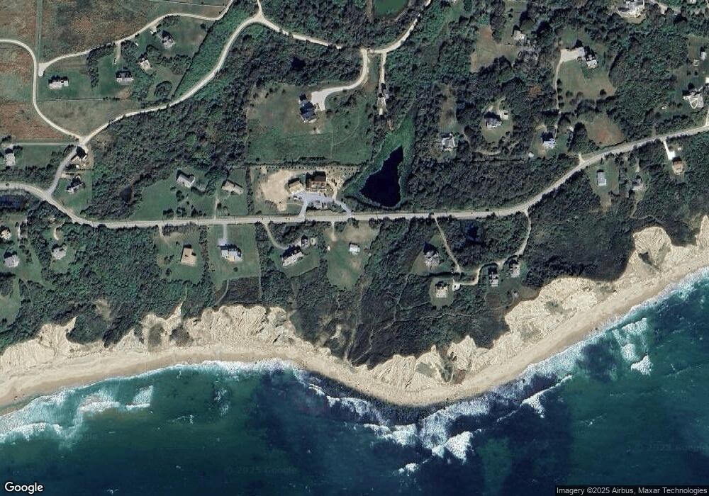
Map
Nearby Homes
- 0 Mohegan Trail
- 1035 Mohegan Trail
- 804 Mohegan Trail
- 1448 Mohegan Trail
- 1661 Sand Pond Rd
- 0 Snake Hole Rd
- 0 Pilot Hill Rd
- 1087 Lakeside Dr
- 194 Pilot Hill Rd
- 0 Spring St
- 1289 High St
- 0 Southeast Rd Unit 1381406
- 256 High St
- 481 Old Town Rd
- 1328 Cooneymus Rd
- 1501 Beacon Hill Rd
- 1596 W Side Rd
- 1557 W Side Rd
- 0 Coast Guard Rd
- 1210 Graces Cove Rd
- 1686 Mohegan Trail
- 995 Mohegan Trail
- 1966 Mohegan Trail
- 800 Mohegan Trail
- 1082 Mohegan Trail
- 1454 Mohegan Trail
- 1066 Mohegan Trail
- 1967 Mohegan Trail
- 802 Lakeside Dr
- 1968 Mohegan Trail
- 798 Mohegan Trail
- 803 Mohegan Trail
- 1603R Payne Rd
- 1656 Payne Rd
- 1014 Mohegan Trail
- 1496 Payne Rd
- 1456 Payne Rd
- 807 Mohegan Trail
- 1183 Mohegan Trail
- 1615 Off Payne Rd