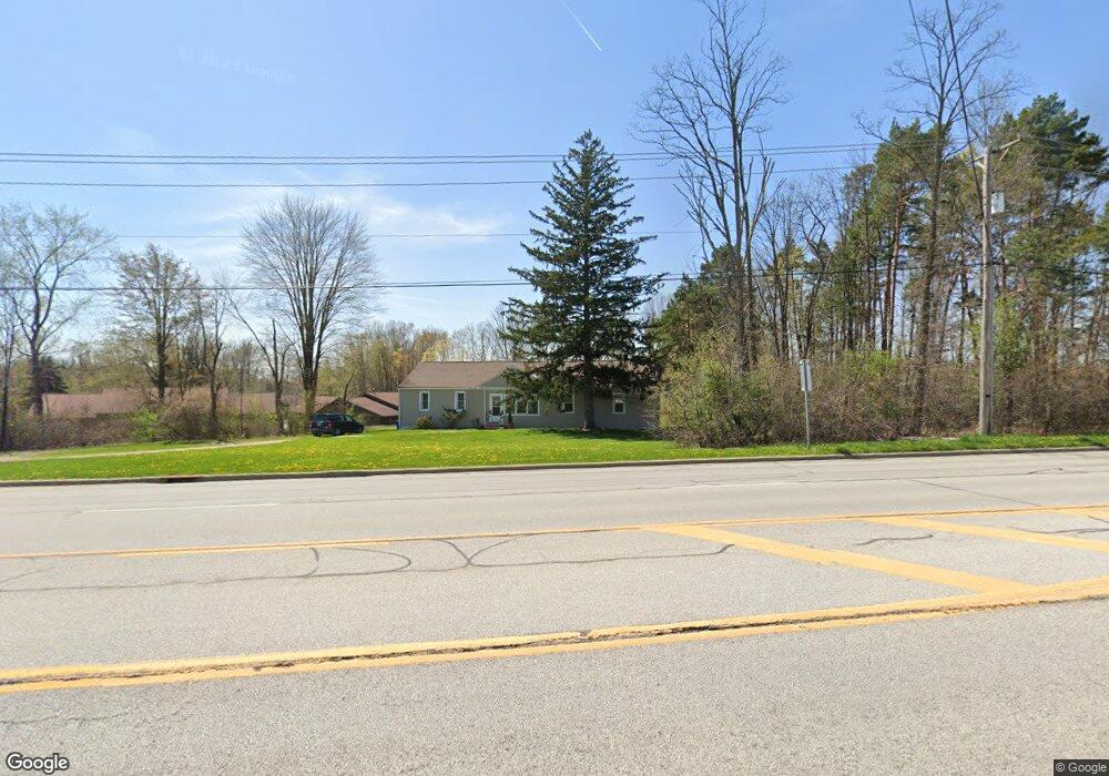
799 N Aurora Rd Aurora, OH 44202
Estimated Value: $264,000 - $332,000
5
Beds
2
Baths
1,724
Sq Ft
$175/Sq Ft
Est. Value
About This Home
This home is located at 799 N Aurora Rd, Aurora, OH 44202 and is currently estimated at $302,272, approximately $175 per square foot. 799 N Aurora Rd is a home located in Portage County with nearby schools including Miller Elementary School, Craddock/Miller Elementary School, and Leighton Elementary School.
Ownership History
Date
Name
Owned For
Owner Type
Purchase Details
Closed on
Jul 13, 2016
Sold by
Card Linda L
Bought by
Card William C
Current Estimated Value
Purchase Details
Closed on
Dec 3, 2008
Sold by
Card William Earl
Bought by
City Of Aurora
Purchase Details
Closed on
Apr 29, 2000
Sold by
Card William E and Card Earl William
Bought by
Card William Earl and William Earl Card Revocable Living Trust
Purchase Details
Closed on
Jan 1, 1990
Bought by
Card William E
Create a Home Valuation Report for This Property
The Home Valuation Report is an in-depth analysis detailing your home's value as well as a comparison with similar homes in the area
Home Values in the Area
Average Home Value in this Area
Purchase History
| Date | Buyer | Sale Price | Title Company |
|---|---|---|---|
| Card William C | -- | None Available | |
| City Of Aurora | $145,000 | None Available | |
| Card William Earl | -- | -- | |
| Card William E | -- | -- |
Source: Public Records
Tax History Compared to Growth
Tax History
| Year | Tax Paid | Tax Assessment Tax Assessment Total Assessment is a certain percentage of the fair market value that is determined by local assessors to be the total taxable value of land and additions on the property. | Land | Improvement |
|---|---|---|---|---|
| 2024 | $3,192 | $71,160 | $24,190 | $46,970 |
| 2023 | $3,082 | $55,930 | $20,440 | $35,490 |
| 2022 | $2,792 | $55,930 | $20,440 | $35,490 |
| 2021 | $2,808 | $55,930 | $20,440 | $35,490 |
| 2020 | $2,568 | $47,740 | $20,440 | $27,300 |
| 2019 | $2,589 | $47,740 | $20,440 | $27,300 |
| 2018 | $2,649 | $44,420 | $18,660 | $25,760 |
| 2017 | $2,649 | $44,420 | $18,660 | $25,760 |
| 2016 | $2,388 | $44,420 | $18,660 | $25,760 |
| 2015 | $1,974 | $44,420 | $18,660 | $25,760 |
| 2014 | $1,882 | $42,080 | $18,660 | $23,420 |
| 2013 | $1,870 | $42,080 | $18,660 | $23,420 |
Source: Public Records
Map
Nearby Homes
- S/L 15 Trentstone Cir
- S/L 8 Trentstone Cir
- S/L 4 Trentstone Cir
- S/L 1 Trentstone Cir
- S/L 3 Iris Place
- 583 Iris Place
- 825 Club Dr W
- 805 Club Dr W
- 830 Club Dr W
- 810 Club Dr W
- 762 Club Dr W
- 752 Club Dr W
- 965-1 Memory Ln
- 970-2 Memory Ln
- 950 Memory Ln
- 640 Club Dr W
- 805 Dipper Ln Unit 2
- 705 Club Dr
- 835 Dipper Ln
- 855 Dipper Ln
- 642 Cherry Park Oval
- 640 Cherry Park Oval Unit 640
- 901 California St
- 644 Cherry Park Oval
- 646 Cherry Park Oval
- 638 Cherry Park Oval
- 636 Cherry Park Oval
- 632 Cherry Park Oval
- 650 Cherry Park Oval
- 630 Cherry Park Oval
- 628 Cherry Park Oval
- 651 Cherry Park Oval
- 626 Cherry Park Oval
- 626 Cherry Park Oval Unit 626
- 653 Cherry Park Oval
- 659 Cherry Park Oval
- 624 Cherry Park Oval Unit 624
- 648 Cherry Park Oval Unit 648
- 629 Cherry Park Oval
- 627 Cherry Park Oval