799 N Latson Rd Howell, MI 48843
Estimated Value: $369,000 - $478,000
3
Beds
3
Baths
2,201
Sq Ft
$196/Sq Ft
Est. Value
About This Home
This home is located at 799 N Latson Rd, Howell, MI 48843 and is currently estimated at $431,094, approximately $195 per square foot. 799 N Latson Rd is a home located in Livingston County with nearby schools including Ruahmah J. Hutchings Elementary, Parker Middle School, and Howell High School.
Ownership History
Date
Name
Owned For
Owner Type
Purchase Details
Closed on
Jul 30, 2003
Sold by
Youmans Albert H and Youmans Louise
Bought by
Smith Aaron J and Smith Jessica D
Current Estimated Value
Home Financials for this Owner
Home Financials are based on the most recent Mortgage that was taken out on this home.
Original Mortgage
$476,000
Outstanding Balance
$204,873
Interest Rate
5.31%
Mortgage Type
Construction
Estimated Equity
$226,221
Create a Home Valuation Report for This Property
The Home Valuation Report is an in-depth analysis detailing your home's value as well as a comparison with similar homes in the area
Home Values in the Area
Average Home Value in this Area
Purchase History
| Date | Buyer | Sale Price | Title Company |
|---|---|---|---|
| Smith Aaron J | $58,500 | American Title Company Of Li |
Source: Public Records
Mortgage History
| Date | Status | Borrower | Loan Amount |
|---|---|---|---|
| Open | Smith Aaron J | $476,000 |
Source: Public Records
Tax History
| Year | Tax Paid | Tax Assessment Tax Assessment Total Assessment is a certain percentage of the fair market value that is determined by local assessors to be the total taxable value of land and additions on the property. | Land | Improvement |
|---|---|---|---|---|
| 2025 | $1,971 | $195,000 | $0 | $0 |
| 2024 | $1,915 | $184,800 | $0 | $0 |
| 2023 | $1,829 | $168,400 | $0 | $0 |
| 2022 | $841 | $136,100 | $0 | $0 |
| 2021 | $3,280 | $145,800 | $0 | $0 |
| 2020 | $3,270 | $136,100 | $0 | $0 |
| 2019 | $3,272 | $125,900 | $0 | $0 |
| 2018 | $3,279 | $123,000 | $0 | $0 |
| 2017 | $3,284 | $120,700 | $0 | $0 |
| 2016 | $3,308 | $117,300 | $0 | $0 |
| 2014 | $3,363 | $101,500 | $0 | $0 |
| 2012 | $3,363 | $96,200 | $0 | $0 |
Source: Public Records
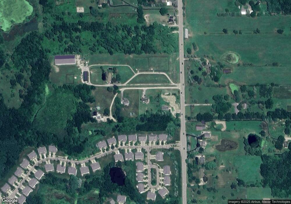
Map
Nearby Homes
- 3991 Rainier Dr Unit 1
- 636 Zion Ct
- 1433 Callaway Ct Unit 258
- TBD Cannonade Loop
- 571 Cannonade Loop
- 4112 Peach Tree Ln
- 475 Cannonade Loop
- The Austin Plan at Broadmoor
- The Charlotte Plan at Broadmoor
- The Harrison Plan at Broadmoor
- The Bloomington Plan at Broadmoor
- The Columbia Plan at Broadmoor
- 487 Cannonade Loop
- 559 Cannonade Loop
- 499 Cannonade Loop
- 607 Cannonade Loop
- 2830 Bonny Brook Dr Unit 3
- Lot 1 of Lockes St
- 3800 Snowden Ln
- 467 Lilly View Ct Unit 54
- 801 N Latson Rd
- 797 N Latson Rd
- 3967 Rainier Dr Unit 4
- 3967 Rainier Dr
- 3959 Rainier Dr Unit 5
- 3959 Rainier Dr
- 3951 Rainier Dr Unit 6
- 3951 Rainier Dr
- 3975 Rainier Dr Unit 3
- 3975 Rainier Dr
- 3983 Rainier Dr
- 3983 Rainier Dr Unit 2
- 3991 Rainier Dr Unit Bldg-Unit1
- 3991 Rainier Dr
- 3943 Rainier Dr
- 3935 Rainier Dr
- 3927 Rainier Dr
- 3927 Rainier Dr Unit 9
- 38 Rainier
- 243 Vicksburg Way
Your Personal Tour Guide
Ask me questions while you tour the home.