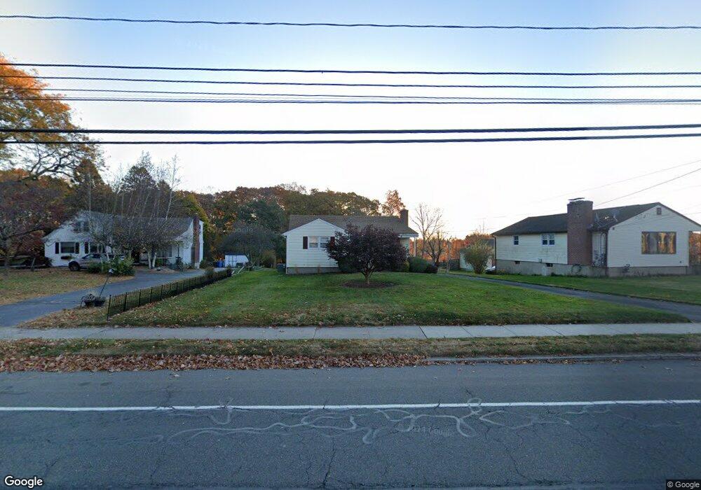
799 Slater Rd New Britain, CT 06053
Estimated Value: $292,000 - $307,000
3
Beds
1
Bath
1,128
Sq Ft
$265/Sq Ft
Est. Value
About This Home
This home is located at 799 Slater Rd, New Britain, CT 06053 and is currently estimated at $299,364, approximately $265 per square foot. 799 Slater Rd is a home located in Hartford County with nearby schools including Gaffney School and Pulaski Middle School.
Create a Home Valuation Report for This Property
The Home Valuation Report is an in-depth analysis detailing your home's value as well as a comparison with similar homes in the area
Home Values in the Area
Average Home Value in this Area
Tax History Compared to Growth
Tax History
| Year | Tax Paid | Tax Assessment Tax Assessment Total Assessment is a certain percentage of the fair market value that is determined by local assessors to be the total taxable value of land and additions on the property. | Land | Improvement |
|---|---|---|---|---|
| 2025 | $6,075 | $155,050 | $62,860 | $92,190 |
| 2024 | $6,138 | $155,050 | $62,860 | $92,190 |
| 2023 | $5,935 | $155,050 | $62,860 | $92,190 |
| 2022 | $4,827 | $97,510 | $26,460 | $71,050 |
| 2021 | $4,827 | $97,510 | $26,460 | $71,050 |
| 2020 | $4,924 | $97,510 | $26,460 | $71,050 |
| 2019 | $4,924 | $97,510 | $26,460 | $71,050 |
| 2018 | $4,924 | $97,510 | $26,460 | $71,050 |
| 2017 | $4,811 | $95,270 | $26,460 | $68,810 |
| 2016 | $4,811 | $95,270 | $26,460 | $68,810 |
| 2015 | $4,668 | $95,270 | $26,460 | $68,810 |
| 2014 | $4,668 | $95,270 | $26,460 | $68,810 |
Source: Public Records
Map
Nearby Homes
- 95 Pierremount Ave
- 101 Maplehurst Ave
- 251 Pershing Ave
- 59 Heather Ln
- 148 Governor St
- 55 Horseplain Rd
- 234 Pierremount Ave
- 87 Pinehurst Ave
- 230 Hillhurst Ave
- 410 Farmington Ave Unit O6
- 410 Farmington Ave Unit H1
- 67 Eastwick Rd
- 151 Sterling St
- 34 Hutchinson St
- 38 Brown St
- 1467 Corbin Ave
- 42 Fairlane Dr
- 19 Hayes St
- 394 Mcclintock St
- 8 Albany Ave