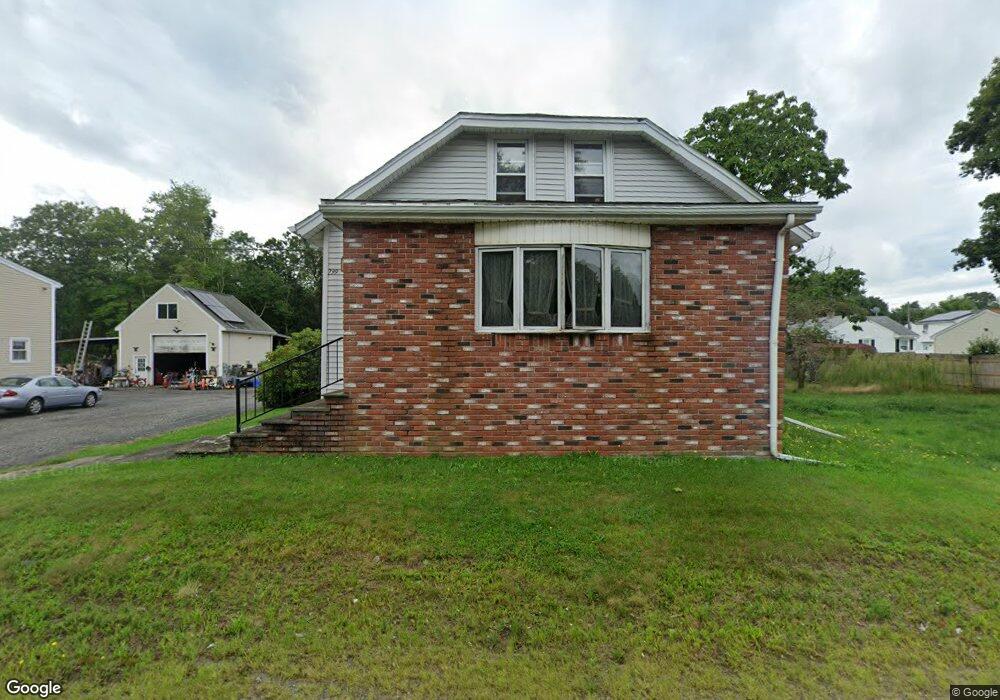
799 State Rd Westport, MA 02790
North Westport NeighborhoodEstimated Value: $401,387 - $436,000
3
Beds
--
Bath
1,575
Sq Ft
$268/Sq Ft
Est. Value
About This Home
This home is located at 799 State Rd, Westport, MA 02790 and is currently estimated at $421,347, approximately $267 per square foot. 799 State Rd is a home located in Bristol County with nearby schools including Alice A. Macomber Primary School, Westport Elementary School, and Westport Middle-High School.
Create a Home Valuation Report for This Property
The Home Valuation Report is an in-depth analysis detailing your home's value as well as a comparison with similar homes in the area
Home Values in the Area
Average Home Value in this Area
Tax History Compared to Growth
Tax History
| Year | Tax Paid | Tax Assessment Tax Assessment Total Assessment is a certain percentage of the fair market value that is determined by local assessors to be the total taxable value of land and additions on the property. | Land | Improvement |
|---|---|---|---|---|
| 2025 | $2,395 | $321,500 | $133,200 | $188,300 |
| 2024 | $2,400 | $310,500 | $123,400 | $187,100 |
| 2023 | $2,194 | $268,900 | $105,200 | $163,700 |
| 2022 | $2,076 | $244,800 | $105,200 | $139,600 |
| 2021 | $2,027 | $235,200 | $95,600 | $139,600 |
| 2020 | $1,951 | $231,400 | $91,800 | $139,600 |
| 2019 | $1,935 | $234,000 | $97,200 | $136,800 |
| 2018 | $1,930 | $236,200 | $116,300 | $119,900 |
| 2017 | $1,863 | $233,800 | $116,300 | $117,500 |
| 2016 | $1,849 | $233,800 | $116,300 | $117,500 |
| 2015 | $1,733 | $218,600 | $116,300 | $102,300 |
Source: Public Records
Map
Nearby Homes
- 15 S Breault St
- 0 Van Buren St
- 16 S Berryman St
- 9 Kyle Jacob Rd
- 116 Gifford Rd
- 20 Faulkner St
- 565 Highland Ave
- 27 Dias Ave
- 1276 Old Fall River Rd
- 96 Forge Rd
- 100 D Dr
- 3 Diane Way
- 29 Union Ave
- 56 Lakeside Ave
- 19 Charles Joseph Dr
- 2 Donna Marie Dr
- 55 Lakeside Ave
- 818 Reed Rd
- 735 Reed Rd
- 3 Roller Coaster Way Unit Lot 1