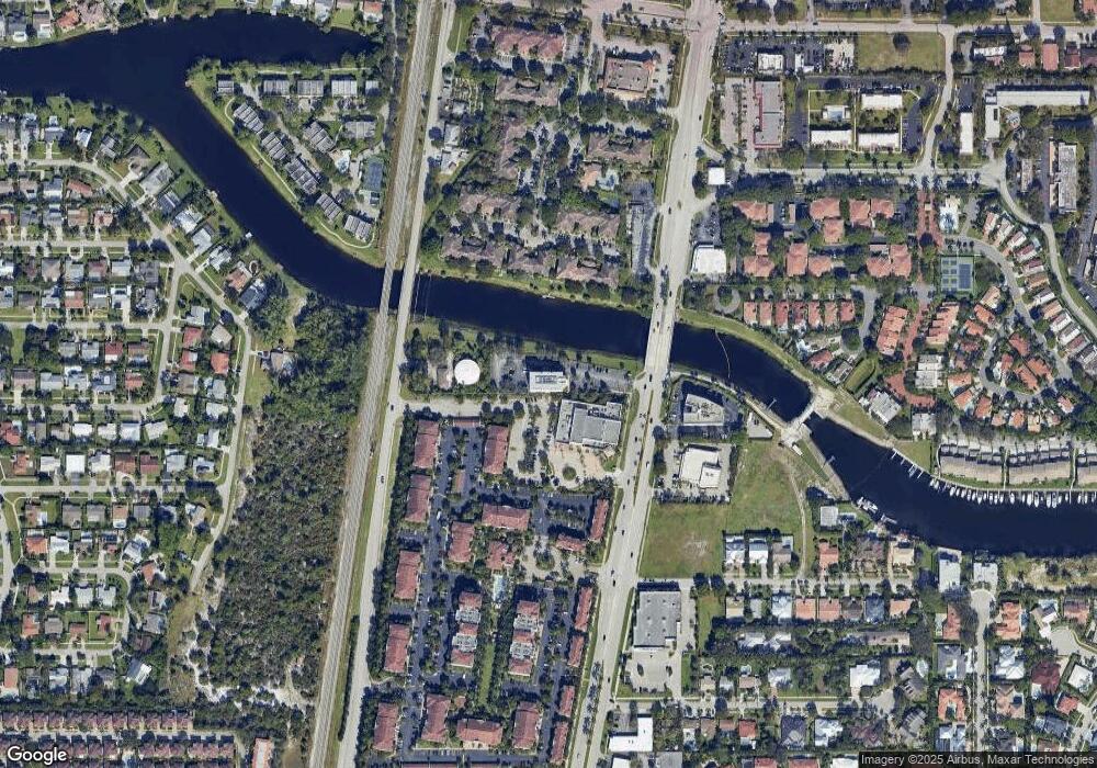
7999 N Federal Hwy Unit 400 Boca Raton, FL 33487
Estimated Value: $2,219,751
--
Bed
--
Bath
5,118
Sq Ft
$434/Sq Ft
Est. Value
About This Home
This home is located at 7999 N Federal Hwy Unit 400, Boca Raton, FL 33487 and is currently estimated at $2,219,751, approximately $433 per square foot. 7999 N Federal Hwy Unit 400 is a home located in Palm Beach County with nearby schools including J. C. Mitchell Elementary School, Boca Raton Community Middle School, and Boca Raton Community High School.
Ownership History
Date
Name
Owned For
Owner Type
Purchase Details
Closed on
Apr 4, 2024
Sold by
Dockside Properties Llc
Bought by
Paragon Land Holdings Llc
Current Estimated Value
Home Financials for this Owner
Home Financials are based on the most recent Mortgage that was taken out on this home.
Original Mortgage
$929,200
Interest Rate
6.87%
Purchase Details
Closed on
Mar 23, 2005
Sold by
Crown Investments Of So Fla Inc
Bought by
Dockside Properties Llc
Home Financials for this Owner
Home Financials are based on the most recent Mortgage that was taken out on this home.
Original Mortgage
$825,000
Interest Rate
5.54%
Mortgage Type
Commercial
Create a Home Valuation Report for This Property
The Home Valuation Report is an in-depth analysis detailing your home's value as well as a comparison with similar homes in the area
Home Values in the Area
Average Home Value in this Area
Purchase History
| Date | Buyer | Sale Price | Title Company |
|---|---|---|---|
| Paragon Land Holdings Llc | $2,300,000 | None Listed On Document | |
| Dockside Properties Llc | $1,650,000 | -- |
Source: Public Records
Mortgage History
| Date | Status | Borrower | Loan Amount |
|---|---|---|---|
| Closed | Paragon Land Holdings Llc | $929,200 | |
| Closed | Paragon Land Holdings Llc | $929,200 | |
| Previous Owner | Dockside Properties Llc | $825,000 | |
| Closed | Dockside Properties Llc | $660,000 |
Source: Public Records
Tax History Compared to Growth
Tax History
| Year | Tax Paid | Tax Assessment Tax Assessment Total Assessment is a certain percentage of the fair market value that is determined by local assessors to be the total taxable value of land and additions on the property. | Land | Improvement |
|---|---|---|---|---|
| 2024 | $24,472 | $1,078,146 | -- | -- |
| 2023 | $23,424 | $980,133 | $0 | $0 |
| 2022 | $21,585 | $891,030 | $0 | $0 |
| 2021 | $17,530 | $810,027 | $0 | $810,027 |
| 2020 | $17,052 | $784,949 | $0 | $784,949 |
| 2019 | $17,506 | $784,949 | $0 | $784,949 |
| 2018 | $16,251 | $760,638 | $0 | $760,638 |
| 2017 | $16,053 | $736,993 | $0 | $0 |
| 2016 | $16,031 | $731,875 | $0 | $0 |
| 2015 | $14,945 | $665,341 | $0 | $0 |
| 2014 | $14,681 | $639,751 | $0 | $0 |
Source: Public Records
Map
Nearby Homes
- 3525 Bosun Cir
- 455 Canal Point N Unit 1080
- 440 Canal Point S Unit 1260
- 440 Canal Point S Unit 2260
- 100 Pelican Pointe Dr Unit 1020
- 3501 Harbor Cir
- 222 S Latitude Cir
- 3530 Ensign Cir
- 7681 NE Morningside Terrace
- 240 Captains Walk Unit 510
- 240 Captains Walk Unit 5110
- 240 Captains Walk Unit 517
- 240 Captains Walk Unit 5140
- 217 N Latitude Cir
- 7902 NE Palm Way
- 843 NE Mulberry Dr
- 3401 Spanish Trail Unit 251
- 3401 Spanish Trail Unit 454
- 3401 Spanish Trail Unit 154
- 3401 Spanish Trail Unit 3550
- 7999 N Federal Hwy Unit 200
- 7999 N Federal Hwy Unit 300
- 7999 N Federal Hwy Unit 300
- 7900 N Federal Hwy
- 8000 N Federal Hwy
- 7940 N Federal Hwy Unit A
- 7940 N Federal Hwy Unit 3
- 3416 S Federal Hwy
- 3415 S Federal Hwy
- 10 Bosun Way
- 7801 N Federal Hwy
- 20 Bosun Way
- 30 Pelican Pointe Dr Unit 1010
- 30 Pelican Pointe Dr Unit 2030
- 30 Pelican Pointe Dr Unit 1030
- 30 Pelican Pointe Dr Unit 1020
- 30 Pelican Pointe Dr Unit 2020
- 30 Pelican Pointe Dr Unit 2010
- 30 Bosun Way
- 40 Pelican Pointe Dr Unit 1040
