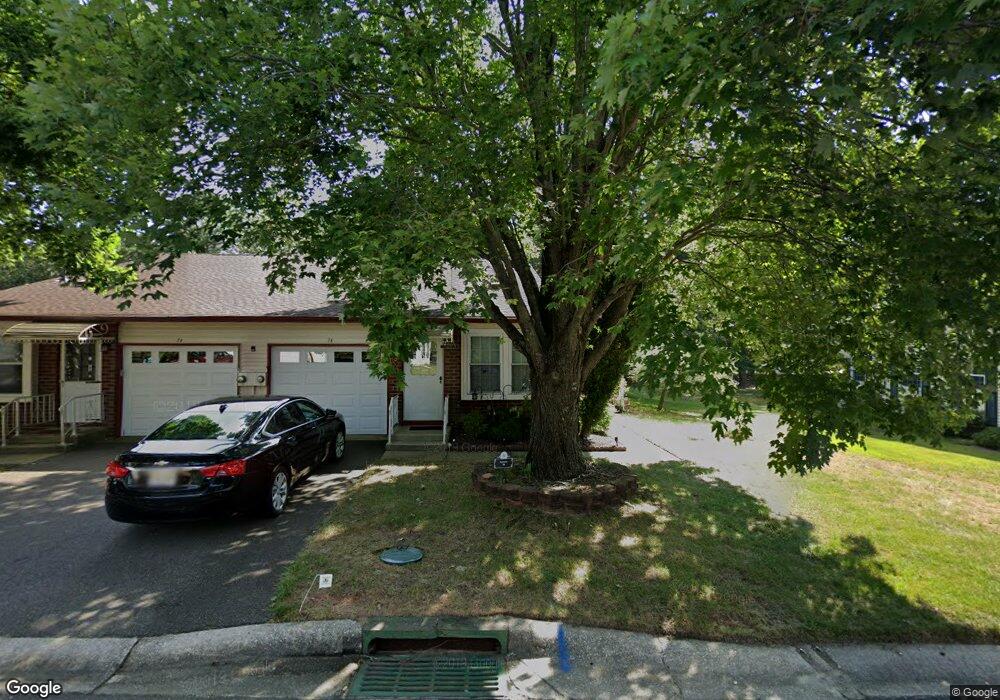
7B Ivy St Whiting, NJ 08759
Estimated Value: $166,000 - $207,000
1
Bed
1
Bath
1,113
Sq Ft
$166/Sq Ft
Est. Value
About This Home
This home is located at 7B Ivy St, Whiting, NJ 08759 and is currently estimated at $184,329, approximately $165 per square foot. 7B Ivy St is a home located in Ocean County with nearby schools including Manchester Township High School.
Ownership History
Date
Name
Owned For
Owner Type
Purchase Details
Closed on
Feb 6, 2026
Sold by
Maccotter Cathleen Elizabeth
Bought by
Rotundo Fausto
Current Estimated Value
Purchase Details
Closed on
Jul 27, 2001
Sold by
Stiuso Alexander
Bought by
Maccotter Cathleen
Home Financials for this Owner
Home Financials are based on the most recent Mortgage that was taken out on this home.
Original Mortgage
$40,000
Interest Rate
7.14%
Mortgage Type
Purchase Money Mortgage
Purchase Details
Closed on
Jul 20, 1999
Sold by
Bellows Vivian
Bought by
Stiuso Alexander
Create a Home Valuation Report for This Property
The Home Valuation Report is an in-depth analysis detailing your home's value as well as a comparison with similar homes in the area
Home Values in the Area
Average Home Value in this Area
Purchase History
| Date | Buyer | Sale Price | Title Company |
|---|---|---|---|
| Rotundo Fausto | $154,000 | Trident Abstract Title | |
| Maccotter Cathleen | $50,000 | -- | |
| Maccotter Cathleen | $50,000 | -- | |
| Stiuso Alexander | $40,000 | First American Title Ins Co |
Source: Public Records
Mortgage History
| Date | Status | Borrower | Loan Amount |
|---|---|---|---|
| Previous Owner | Maccotter Cathleen | $40,000 |
Source: Public Records
Tax History
| Year | Tax Paid | Tax Assessment Tax Assessment Total Assessment is a certain percentage of the fair market value that is determined by local assessors to be the total taxable value of land and additions on the property. | Land | Improvement |
|---|---|---|---|---|
| 2025 | $1,674 | $141,400 | $48,400 | $93,000 |
| 2024 | $1,589 | $68,200 | $7,700 | $60,500 |
Source: Public Records
Map
Nearby Homes
- 25 Sunset Rd
- 4 Ivy St Unit 52
- 18A Sunset Rd
- 5 A Pembroke La
- 6 Pembroke Ln Unit C
- 12 Sunset Rd Unit A
- 11A Deerfield Dr Unit 52
- 7A Drake St Unit B
- 17B Drake St
- 7 B Drake St Sec 53
- 3B Drake St Unit 53
- 14B Penwood Dr Unit 54A
- 14 B Penwood Dr Sec 54a
- 81B Milford Ave Unit A
- 2A Easton Ct
- 44B Sunset Rd Unit 55
- 6A Winthrop Place
- 1 Quincy Dr Unit D
- 23B Portsmouth St
- 1D Bristol St
Your Personal Tour Guide
Ask me questions while you tour the home.