7N337 Mcgough Rd Maple Park, IL 60151
Estimated Value: $297,673 - $406,000
Studio
--
Bath
1,161
Sq Ft
$296/Sq Ft
Est. Value
About This Home
This home is located at 7N337 Mcgough Rd, Maple Park, IL 60151 and is currently estimated at $343,918, approximately $296 per square foot. 7N337 Mcgough Rd is a home located in Kane County with nearby schools including Sycamore High School.
Ownership History
Date
Name
Owned For
Owner Type
Purchase Details
Closed on
Nov 2, 2018
Sold by
Fabrizius Land Inc
Bought by
Smith John
Current Estimated Value
Purchase Details
Closed on
Jul 12, 2000
Sold by
Fabrizius Joseph
Bought by
Fabrizius Land Inc
Purchase Details
Closed on
Oct 30, 1998
Sold by
Dienst Michael R and Dienst Lisa M
Bought by
Kane County Trust
Home Financials for this Owner
Home Financials are based on the most recent Mortgage that was taken out on this home.
Original Mortgage
$60,000
Interest Rate
6.72%
Create a Home Valuation Report for This Property
The Home Valuation Report is an in-depth analysis detailing your home's value as well as a comparison with similar homes in the area
Home Values in the Area
Average Home Value in this Area
Purchase History
| Date | Buyer | Sale Price | Title Company |
|---|---|---|---|
| Smith John | $209,000 | Attorney | |
| Fabrizius Land Inc | -- | -- | |
| Kane County Trust | $211,000 | Chicago Title Insurance Co |
Source: Public Records
Mortgage History
| Date | Status | Borrower | Loan Amount |
|---|---|---|---|
| Previous Owner | Kane County Trust | $60,000 |
Source: Public Records
Tax History
| Year | Tax Paid | Tax Assessment Tax Assessment Total Assessment is a certain percentage of the fair market value that is determined by local assessors to be the total taxable value of land and additions on the property. | Land | Improvement |
|---|---|---|---|---|
| 2024 | $6,455 | $92,178 | $45,453 | $46,725 |
| 2023 | $6,320 | $85,595 | $42,207 | $43,388 |
| 2022 | $6,176 | $79,306 | $39,106 | $40,200 |
| 2021 | $5,988 | $75,264 | $37,113 | $38,151 |
| 2020 | $5,801 | $72,599 | $35,799 | $36,800 |
| 2019 | $5,586 | $69,679 | $34,359 | $35,320 |
| 2018 | $5,854 | $65,580 | $32,338 | $33,242 |
| 2017 | $5,646 | $61,810 | $30,479 | $31,331 |
| 2016 | $5,370 | $57,865 | $28,597 | $29,268 |
| 2015 | -- | $54,415 | $26,892 | $27,523 |
| 2014 | -- | $52,830 | $26,109 | $26,721 |
| 2013 | -- | $52,830 | $26,109 | $26,721 |
Source: Public Records
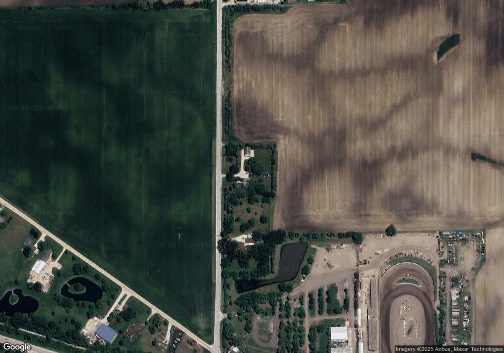
Map
Nearby Homes
- 49W972 Peterson Rd
- 5N487 County Line Rd
- 00 Welter Rd
- 16038 Quigley Rd
- 0 Winters Rd
- 000 Winters Rd
- 1571 Middleton Rd
- 15165 Quigley Rd
- 17128 Lukens Rd
- 11N315 Mcgough Rd
- 668 E Becker Place
- 218 Virgil St
- 205 Center St
- Lot 239 Zagreb Ave
- Lot 240 Zagreb Ave
- Lot 228 Zagreb Ave
- Lot 229 Zagreb Ave
- Lot 226 Zagreb Ave
- Lot 227 Zagreb Ave
- 1238 Parkside Dr
- 7N239 Mcgough Rd
- 7N535 Mcgough Rd
- 50W353 Old State Rd
- 50W309 Old State Rd
- 50W419 Old State Rd
- 50W443 Old State Rd Unit 2
- 50W471 Old State Rd
- 50W345 Illinois 64
- 50W345 Illinois 64
- 50W345 State Route 64
- 50W275 Il Route 64
- 50W275 Illinois 64
- 50W275 Illinois 64
- 50w Read Rd
- 50W497 Rte 64
- 7N780 Mcgough Rd
- 50W670 Old State Rd
- 7N818 Mcgough Rd
- 49W950 Il Route 64
- 50W660 Il Route 64
Your Personal Tour Guide
Ask me questions while you tour the home.