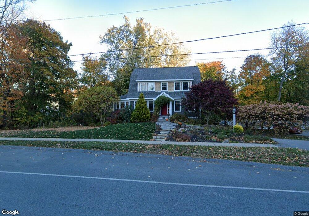
8 1/2 Greenleaf St Amesbury, MA 01913
Estimated Value: $666,000 - $888,000
3
Beds
3
Baths
1,939
Sq Ft
$410/Sq Ft
Est. Value
About This Home
This home is located at 8 1/2 Greenleaf St, Amesbury, MA 01913 and is currently estimated at $794,422, approximately $409 per square foot. 8 1/2 Greenleaf St is a home with nearby schools including Amesbury High School and Amesbury Seventh-Day Adventist School.
Ownership History
Date
Name
Owned For
Owner Type
Purchase Details
Closed on
Jun 1, 2009
Sold by
Kimberly Rt
Bought by
Macdonald David R and Macdonald April D
Current Estimated Value
Home Financials for this Owner
Home Financials are based on the most recent Mortgage that was taken out on this home.
Original Mortgage
$392,755
Outstanding Balance
$249,483
Interest Rate
4.87%
Mortgage Type
Purchase Money Mortgage
Estimated Equity
$544,939
Create a Home Valuation Report for This Property
The Home Valuation Report is an in-depth analysis detailing your home's value as well as a comparison with similar homes in the area
Home Values in the Area
Average Home Value in this Area
Purchase History
| Date | Buyer | Sale Price | Title Company |
|---|---|---|---|
| Macdonald David R | $400,000 | -- |
Source: Public Records
Mortgage History
| Date | Status | Borrower | Loan Amount |
|---|---|---|---|
| Open | Macdonald David R | $392,755 |
Source: Public Records
Tax History Compared to Growth
Tax History
| Year | Tax Paid | Tax Assessment Tax Assessment Total Assessment is a certain percentage of the fair market value that is determined by local assessors to be the total taxable value of land and additions on the property. | Land | Improvement |
|---|---|---|---|---|
| 2025 | $10,311 | $673,900 | $227,000 | $446,900 |
| 2024 | $10,050 | $642,600 | $214,100 | $428,500 |
| 2023 | $9,195 | $562,700 | $186,100 | $376,600 |
| 2022 | $8,808 | $497,900 | $161,900 | $336,000 |
| 2021 | $8,331 | $456,500 | $128,800 | $327,700 |
| 2020 | $7,415 | $431,600 | $123,900 | $307,700 |
| 2019 | $7,559 | $411,500 | $123,900 | $287,600 |
| 2018 | $7,366 | $387,900 | $117,900 | $270,000 |
| 2017 | $7,547 | $378,300 | $117,900 | $260,400 |
| 2016 | $7,491 | $369,400 | $117,900 | $251,500 |
| 2015 | $7,333 | $357,000 | $117,900 | $239,100 |
| 2014 | $7,126 | $339,800 | $117,900 | $221,900 |
Source: Public Records
Map
Nearby Homes
- 19 Perkins St
- 15 Sparhawk St Unit 3
- 129 Friend St
- 17 Lincoln Ct
- 13 Lincoln Ct
- 31 Whitter Meadows Dr Unit 31
- 49 W Greenwood St
- 81 High St Unit 27
- 37 Millyard Unit 204
- 43 Aubin St Unit 1
- 24 Aubin St Unit 2
- 4 Greenwood St
- 179 Lions Mouth Rd
- 6 Wells Ave Unit C
- 36 Hillside Ave
- 48 Orchard St
- 53 Market St
- 188 Lions Mouth Rd
- 5 Richs Ct Unit 3
- 97 Elm St
- 8 Greenleaf St
- 30 Perkins St
- 12 Greenleaf St
- 28 Perkins St
- 26 Perkins St
- 6 Perkins St
- 2 Whittier St
- 2 Whittier St
- 23 Perkins St
- 23 Perkins St Unit 2
- 118 Friend St
- 114 Friend St
- 4 Whittier St
- 4 Whittier St
- 4 Whittier St Unit 4
- 1 Whittier St
- 1 Whittier St
- 1 Whittier St Unit 6A
- 8 Whittier St
- 8 Whittier St Unit 8