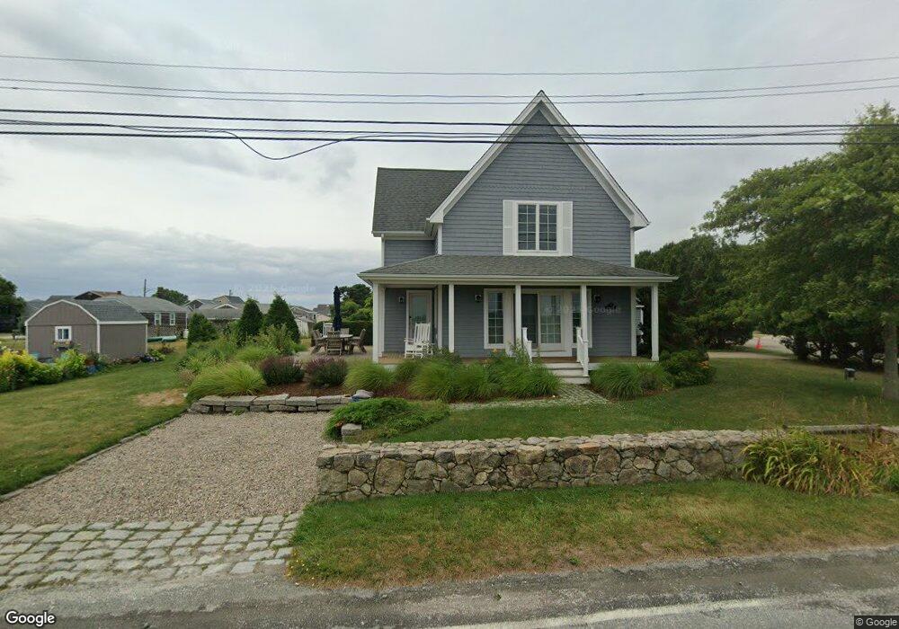
8 3rd St Westport, MA 02790
South Westport NeighborhoodEstimated Value: $472,000 - $534,000
1
Bed
2
Baths
760
Sq Ft
$672/Sq Ft
Est. Value
About This Home
This home is located at 8 3rd St, Westport, MA 02790 and is currently estimated at $510,398, approximately $671 per square foot. 8 3rd St is a home located in Bristol County with nearby schools including Alice A. Macomber Primary School, Westport Elementary School, and Westport Middle-High School.
Ownership History
Date
Name
Owned For
Owner Type
Purchase Details
Closed on
Sep 27, 2012
Sold by
Kandean Llc
Bought by
Lenling Dean W
Current Estimated Value
Purchase Details
Closed on
Jul 2, 2008
Sold by
Lenling Dean W
Bought by
Kandean Llc
Purchase Details
Closed on
May 1, 2008
Sold by
Vincent Walter I Est
Bought by
Lenling Dean
Purchase Details
Closed on
Mar 15, 2005
Sold by
Vincent Walter I
Bought by
Lenling Dean and Vincent Walter I
Purchase Details
Closed on
Dec 19, 1972
Bought by
Lenling Dean W
Create a Home Valuation Report for This Property
The Home Valuation Report is an in-depth analysis detailing your home's value as well as a comparison with similar homes in the area
Home Values in the Area
Average Home Value in this Area
Purchase History
| Date | Buyer | Sale Price | Title Company |
|---|---|---|---|
| Lenling Dean W | -- | -- | |
| Kandean Llc | -- | -- | |
| Lenling Dean | -- | -- | |
| Lenling Dean | -- | -- | |
| Lenling Dean W | -- | -- |
Source: Public Records
Tax History Compared to Growth
Tax History
| Year | Tax Paid | Tax Assessment Tax Assessment Total Assessment is a certain percentage of the fair market value that is determined by local assessors to be the total taxable value of land and additions on the property. | Land | Improvement |
|---|---|---|---|---|
| 2025 | $3,118 | $418,500 | $339,900 | $78,600 |
| 2024 | $3,007 | $389,000 | $315,000 | $74,000 |
| 2023 | $2,508 | $307,400 | $240,000 | $67,400 |
| 2022 | $2,463 | $290,500 | $240,000 | $50,500 |
| 2021 | $2,133 | $247,400 | $218,100 | $29,300 |
| 2020 | $4,116 | $181,100 | $151,800 | $29,300 |
| 2019 | $3,698 | $181,000 | $151,800 | $29,200 |
| 2018 | $3,555 | $141,800 | $115,600 | $26,200 |
| 2017 | $1,141 | $143,200 | $117,800 | $25,400 |
| 2016 | $1,172 | $148,200 | $122,200 | $26,000 |
| 2015 | $1,159 | $146,200 | $124,500 | $21,700 |
Source: Public Records
Map
Nearby Homes
- 238-242 E Beach Rd
- Lot 2 Horseneck Rd
- 1702 Drift Rd
- 1702J Drift Rd
- 1881 Main Rd
- Lot 2E Horseneck Rd
- 99 Sylvia Ln
- 1749 Main Rd
- 1580 Main Rd
- 158 Little River Rd
- Lot 1 Rafael Rd
- 61 Pardon Hill Rd
- 2 Slades Farm Ln
- 12 Meadow Shores Rd
- 24 White Alder Way
- 1346 Main Rd Unit B
- 304 Brayton Point Rd
- 19 Seabury Ln
- 482 Smith Neck Rd
- 24 Eagle Dr