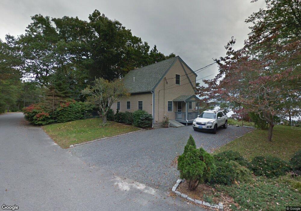
8 7th Ave Wareham, MA 02571
Weweantic NeighborhoodEstimated Value: $394,632 - $445,000
3
Beds
1
Bath
861
Sq Ft
$482/Sq Ft
Est. Value
About This Home
This home is located at 8 7th Ave, Wareham, MA 02571 and is currently estimated at $415,408, approximately $482 per square foot. 8 7th Ave is a home with nearby schools including Tabor Academy.
Ownership History
Date
Name
Owned For
Owner Type
Purchase Details
Closed on
Feb 9, 2011
Sold by
Francis Brian and Francis Lori A
Bought by
Francis Brian
Current Estimated Value
Home Financials for this Owner
Home Financials are based on the most recent Mortgage that was taken out on this home.
Original Mortgage
$40,000
Outstanding Balance
$27,248
Interest Rate
4.84%
Mortgage Type
Unknown
Estimated Equity
$388,160
Create a Home Valuation Report for This Property
The Home Valuation Report is an in-depth analysis detailing your home's value as well as a comparison with similar homes in the area
Home Values in the Area
Average Home Value in this Area
Purchase History
| Date | Buyer | Sale Price | Title Company |
|---|---|---|---|
| Francis Brian | -- | -- | |
| Francis Brian | -- | -- |
Source: Public Records
Mortgage History
| Date | Status | Borrower | Loan Amount |
|---|---|---|---|
| Open | Francis Brian | $40,000 | |
| Previous Owner | Francis Brian | $45,000 |
Source: Public Records
Tax History
| Year | Tax Paid | Tax Assessment Tax Assessment Total Assessment is a certain percentage of the fair market value that is determined by local assessors to be the total taxable value of land and additions on the property. | Land | Improvement |
|---|---|---|---|---|
| 2025 | $3,959 | $360,600 | $160,300 | $200,300 |
| 2024 | $3,800 | $325,300 | $116,200 | $209,100 |
| 2023 | $3,357 | $289,800 | $105,600 | $184,200 |
| 2022 | $3,357 | $246,500 | $105,600 | $140,900 |
| 2021 | $3,178 | $227,000 | $105,600 | $121,400 |
| 2020 | $3,008 | $219,400 | $105,600 | $113,800 |
| 2019 | $2,726 | $201,000 | $99,600 | $101,400 |
| 2018 | $2,571 | $183,100 | $99,600 | $83,500 |
| 2017 | $2,413 | $172,600 | $99,600 | $73,000 |
| 2016 | $2,304 | $163,500 | $84,200 | $79,300 |
| 2015 | $2,240 | $163,500 | $84,200 | $79,300 |
| 2014 | $2,142 | $161,200 | $72,100 | $89,100 |
Source: Public Records
Map
Nearby Homes
- 9 Woodville Way
- 15 14th Ave
- 14 Briarwood Dr
- 12 Taft St
- 233 Marion Rd
- 4 Roosevelt St
- 4 Mather Dr
- 58 Shady Ln
- 6 Bourne Terrace
- 0 Cromesett Rd (Off) Unit 73385395
- 10 Longmeadow Dr
- 21 Bayview St
- 6 Wildwood Ave
- 10 Barnes St
- 20 Grant St
- 43 Shore Ave
- 15 Broadmarsh Ave
- 6 Allen Ave
- 929 Point Rd
- 19 Station St
- 48 Highland Shores Dr
- 44 Highland Shores Dr
- 51 Highland Shores Dr
- 44 Highland Shores Dr
- 45 Highland Shores Dr
- 11 7th Ave
- 11 7th Ave
- 47 Highland Shores Dr
- 45 Highland Shs Dr
- 52 Highland Shores Dr
- 6 7th Ave
- 40 Highland Shores Dr
- 40 Highland Shores Dr Unit WINTER
- 12 8th Ave
- 12 8th Ave
- 5 7th Ave
- 5 7th Ave
- 4 7th Ave
- 14 8th Ave
- 14 8th Ave
Your Personal Tour Guide
Ask me questions while you tour the home.