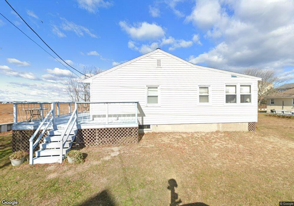
8 9th St W Salisbury, MA 01952
Estimated Value: $658,000 - $759,000
4
Beds
2
Baths
1,196
Sq Ft
$573/Sq Ft
Est. Value
About This Home
This home is located at 8 9th St W, Salisbury, MA 01952 and is currently estimated at $685,425, approximately $573 per square foot. 8 9th St W is a home located in Essex County with nearby schools including Triton Regional High School.
Ownership History
Date
Name
Owned For
Owner Type
Purchase Details
Closed on
Jul 28, 2021
Sold by
Lecuyer Kenneth
Bought by
Kenneth Lecuyer Ft
Current Estimated Value
Purchase Details
Closed on
May 13, 2021
Sold by
Callahan Sharon M
Bought by
Callahan Irt
Purchase Details
Closed on
Nov 4, 2008
Sold by
Lecuyer Agnes
Bought by
Callahan Sharon M
Purchase Details
Closed on
Aug 20, 2008
Sold by
Lecuyer Agnes and Scandura Rosario A
Bought by
Lecuyer Agnes
Create a Home Valuation Report for This Property
The Home Valuation Report is an in-depth analysis detailing your home's value as well as a comparison with similar homes in the area
Home Values in the Area
Average Home Value in this Area
Purchase History
| Date | Buyer | Sale Price | Title Company |
|---|---|---|---|
| Kenneth Lecuyer Ft | -- | None Available | |
| Callahan Irt | -- | None Available | |
| Callahan Sharon M | -- | -- | |
| Lecuyer Agnes | -- | -- |
Source: Public Records
Tax History
| Year | Tax Paid | Tax Assessment Tax Assessment Total Assessment is a certain percentage of the fair market value that is determined by local assessors to be the total taxable value of land and additions on the property. | Land | Improvement |
|---|---|---|---|---|
| 2025 | $5,077 | $503,700 | $319,900 | $183,800 |
| 2024 | $5,102 | $488,200 | $319,900 | $168,300 |
| 2023 | $4,393 | $406,800 | $255,900 | $150,900 |
| 2022 | $4,362 | $391,600 | $234,600 | $157,000 |
| 2021 | $4,262 | $378,500 | $234,600 | $143,900 |
| 2020 | $4,032 | $351,800 | $233,900 | $117,900 |
| 2019 | $3,808 | $321,100 | $214,600 | $106,500 |
| 2018 | $3,622 | $307,500 | $204,600 | $102,900 |
| 2017 | $3,341 | $280,300 | $181,800 | $98,500 |
| 2016 | $3,317 | $284,200 | $181,800 | $102,400 |
| 2015 | $3,241 | $275,800 | $181,800 | $94,000 |
Source: Public Records
Map
Nearby Homes
- 492 N End Blvd
- 432 N End Blvd
- 42 Commonwealth Ave
- 308 State Route 286 Unit Lot 73
- 308 State Route 286 Unit Lot 108
- 308 State Route 286 Unit Lot 23
- 308 State Route 286 Unit Lot 87
- 308 Route 286 Unit Lot 58
- 98 Central Ave
- 78 N End Blvd Unit 1
- 27 Cross Beach Rd
- 3 Tyngsboro St
- 9 Tyngsboro St
- 100 Forest Rd
- 376 Ocean Blvd
- 16 N End Blvd Unit 8
- 16 N End Blvd Unit 3
- 16 N End Blvd Unit 7
- 16 N End Blvd Unit 12
- 16 N End Blvd Unit 5
Your Personal Tour Guide
Ask me questions while you tour the home.