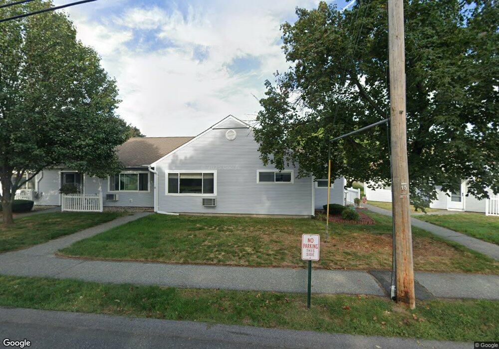
8 Andersen Rd Chicopee, MA 01022
Fairview NeighborhoodEstimated Value: $233,341 - $260,000
2
Beds
2
Baths
1,000
Sq Ft
$250/Sq Ft
Est. Value
About This Home
This home is located at 8 Andersen Rd, Chicopee, MA 01022 and is currently estimated at $250,085, approximately $250 per square foot. 8 Andersen Rd is a home located in Hampden County with nearby schools including Bowie Elementary School, Fairview Middle School, and Chicopee Comprehensive High School.
Ownership History
Date
Name
Owned For
Owner Type
Purchase Details
Closed on
Jun 7, 2017
Sold by
Westcott Bruce L and Westcott Donna L
Bought by
Westcott Jason L and Westcott Brett L
Current Estimated Value
Purchase Details
Closed on
Sep 25, 1998
Sold by
Westview Dev Assocs Lp
Bought by
Westcott Bruce L and Westcott Donna L
Home Financials for this Owner
Home Financials are based on the most recent Mortgage that was taken out on this home.
Original Mortgage
$51,000
Interest Rate
6.87%
Mortgage Type
Purchase Money Mortgage
Create a Home Valuation Report for This Property
The Home Valuation Report is an in-depth analysis detailing your home's value as well as a comparison with similar homes in the area
Home Values in the Area
Average Home Value in this Area
Purchase History
| Date | Buyer | Sale Price | Title Company |
|---|---|---|---|
| Westcott Jason L | -- | -- | |
| Westcott Bruce L | $85,000 | -- |
Source: Public Records
Mortgage History
| Date | Status | Borrower | Loan Amount |
|---|---|---|---|
| Previous Owner | Westcott Bruce L | $18,000 | |
| Previous Owner | Westcott Bruce L | $18,000 | |
| Previous Owner | Westcott Bruce L | $51,000 |
Source: Public Records
Tax History
| Year | Tax Paid | Tax Assessment Tax Assessment Total Assessment is a certain percentage of the fair market value that is determined by local assessors to be the total taxable value of land and additions on the property. | Land | Improvement |
|---|---|---|---|---|
| 2025 | $3,234 | $213,300 | $0 | $213,300 |
| 2024 | $3,023 | $204,800 | $0 | $204,800 |
| 2023 | $2,847 | $187,900 | $0 | $187,900 |
| 2022 | $2,690 | $158,300 | $0 | $158,300 |
| 2021 | $2,404 | $136,500 | $0 | $136,500 |
| 2020 | $2,443 | $139,900 | $0 | $139,900 |
| 2019 | $2,408 | $134,100 | $0 | $134,100 |
| 2018 | $2,351 | $128,400 | $0 | $128,400 |
| 2017 | $1,996 | $115,300 | $0 | $115,300 |
| 2016 | $1,955 | $115,600 | $0 | $115,600 |
| 2015 | $2,028 | $115,600 | $0 | $115,600 |
| 2014 | $814 | $115,600 | $0 | $115,600 |
Source: Public Records
Map
Nearby Homes
- 117 Andersen Rd
- 1181 James St
- 76 Kelley Rd
- 104 Johnson Rd Unit 1103
- 104 Johnson Rd Unit 707
- 90 Anson St
- 156 Horseshoe Dr
- 144 Horseshoe Dr
- 81 Mccarthy Ave
- 58 Robinridge Rd
- 37 Greenwood Terrace
- 143 Royal St
- 61 Saint Jacques Ave
- 70 Greenwood Terrace
- 1709 Memorial Dr
- 128 Ann St
- 72 Honeysuckle Dr
- 14 Dorothy Ave
- 523 James St
- 18 Devlin Dr
Your Personal Tour Guide
Ask me questions while you tour the home.