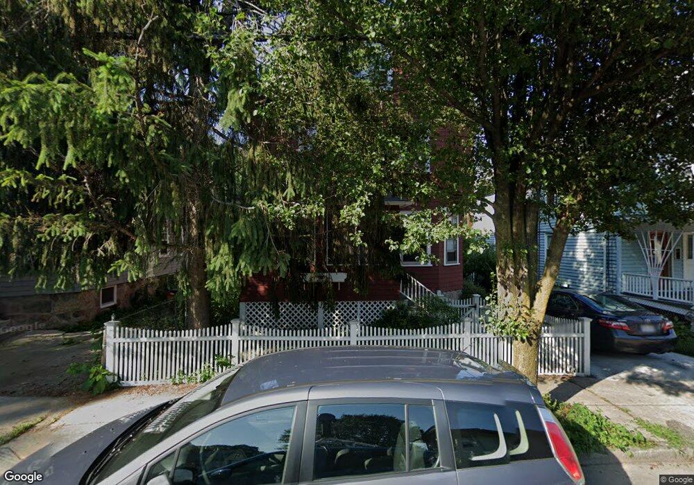
8 Archdale Rd Roslindale, MA 02131
Roslindale NeighborhoodEstimated Value: $742,982 - $864,000
4
Beds
1
Bath
1,782
Sq Ft
$449/Sq Ft
Est. Value
About This Home
This home is located at 8 Archdale Rd, Roslindale, MA 02131 and is currently estimated at $800,746, approximately $449 per square foot. 8 Archdale Rd is a home located in Suffolk County with nearby schools including Brooke Charter School Roslindale, The Croft School - Jamaica Plain, and St. Clare High School.
Ownership History
Date
Name
Owned For
Owner Type
Purchase Details
Closed on
Jul 29, 1991
Sold by
Doolan John J and Doolan Paul F
Bought by
Kirschbaum Stevan C and Nasca Rosemary R
Current Estimated Value
Home Financials for this Owner
Home Financials are based on the most recent Mortgage that was taken out on this home.
Original Mortgage
$99,000
Interest Rate
9.58%
Mortgage Type
Purchase Money Mortgage
Create a Home Valuation Report for This Property
The Home Valuation Report is an in-depth analysis detailing your home's value as well as a comparison with similar homes in the area
Home Values in the Area
Average Home Value in this Area
Purchase History
| Date | Buyer | Sale Price | Title Company |
|---|---|---|---|
| Kirschbaum Stevan C | $130,000 | -- |
Source: Public Records
Mortgage History
| Date | Status | Borrower | Loan Amount |
|---|---|---|---|
| Open | Kirschbaum Stevan C | $96,000 | |
| Closed | Kirschbaum Stevan C | $99,000 |
Source: Public Records
Tax History Compared to Growth
Tax History
| Year | Tax Paid | Tax Assessment Tax Assessment Total Assessment is a certain percentage of the fair market value that is determined by local assessors to be the total taxable value of land and additions on the property. | Land | Improvement |
|---|---|---|---|---|
| 2025 | $6,784 | $585,800 | $217,600 | $368,200 |
| 2024 | $6,057 | $555,700 | $209,700 | $346,000 |
| 2023 | $5,630 | $524,200 | $197,800 | $326,400 |
| 2022 | $5,331 | $490,000 | $184,900 | $305,100 |
| 2021 | $5,076 | $475,700 | $179,500 | $296,200 |
| 2020 | $4,398 | $416,500 | $160,100 | $256,400 |
| 2019 | $4,181 | $396,700 | $139,800 | $256,900 |
| 2018 | $3,886 | $370,800 | $139,800 | $231,000 |
| 2017 | $3,812 | $360,000 | $139,800 | $220,200 |
| 2016 | $3,960 | $360,000 | $139,800 | $220,200 |
| 2015 | $4,114 | $339,700 | $134,200 | $205,500 |
| 2014 | $3,953 | $314,200 | $134,200 | $180,000 |
Source: Public Records
Map
Nearby Homes
- 19 Delford St
- 19 Delford St Unit 1
- 4012 Washington St
- 173 Brookway Rd
- 4031 Washington St
- 620 South St
- 18-20 Northbourne Rd Unit 18
- 178 Hyde Park Ave Unit 3
- 158 Wachusett St Unit 3
- 143-171 Hyde Park Ave Unit 169A
- 140 Wachusett St
- 31 Rodman St Unit 2
- 31 Rodman St Unit 1
- 348-350 Hyde Park Ave Unit 2
- 50 Southbourne Rd
- 187 Florence St Unit 2L
- 2 Weld Hill St Unit PH2
- 64 Hyde Park Ave Unit 3
- 108 Florence St Unit 3
- 108 Florence St Unit 1
- 10 Archdale Rd Unit 12
- 6 Archdale Rd
- 14 Archdale Rd Unit 16
- 4 Archdale Rd
- 18 Archdale Rd Unit 20
- 562 South St
- 34 Colgate Rd Unit 2
- 0 Colgate Rd
- 24 Colgate Rd Unit 13
- 24 Colgate Rd Unit 9
- 24 Colgate Rd Unit 5
- 22 Archdale Rd Unit 24
- 566 South St
- 566 South St Unit 1
- 15 Archdale Rd
- 15 Archdale Rd Unit 1
- 563 South St
- 14 Colgate Rd Unit 16
- 14 Colgate Rd Unit 16
- 14 Colgate Rd Unit 16