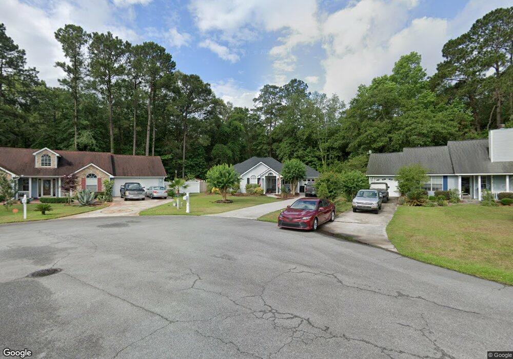
8 Ashepoo Dr Okatie, SC 29909
Estimated Value: $327,602 - $421,000
3
Beds
2
Baths
1,354
Sq Ft
$272/Sq Ft
Est. Value
About This Home
This home is located at 8 Ashepoo Dr, Okatie, SC 29909 and is currently estimated at $367,901, approximately $271 per square foot. 8 Ashepoo Dr is a home located in Beaufort County with nearby schools including Okatie Elementary School, Bluffton Middle School, and May River High School.
Ownership History
Date
Name
Owned For
Owner Type
Purchase Details
Closed on
Aug 7, 2007
Sold by
Pollock Martin R
Bought by
Gouldie David M
Current Estimated Value
Home Financials for this Owner
Home Financials are based on the most recent Mortgage that was taken out on this home.
Original Mortgage
$183,870
Outstanding Balance
$116,358
Interest Rate
6.65%
Mortgage Type
VA
Estimated Equity
$251,543
Purchase Details
Closed on
Aug 5, 2005
Sold by
Niesar George F and Niesar Christine
Bought by
Pollock Martin R
Home Financials for this Owner
Home Financials are based on the most recent Mortgage that was taken out on this home.
Original Mortgage
$160,000
Interest Rate
8.25%
Mortgage Type
Fannie Mae Freddie Mac
Create a Home Valuation Report for This Property
The Home Valuation Report is an in-depth analysis detailing your home's value as well as a comparison with similar homes in the area
Home Values in the Area
Average Home Value in this Area
Purchase History
| Date | Buyer | Sale Price | Title Company |
|---|---|---|---|
| Gouldie David M | $180,000 | None Available | |
| Pollock Martin R | $160,000 | -- |
Source: Public Records
Mortgage History
| Date | Status | Borrower | Loan Amount |
|---|---|---|---|
| Open | Gouldie David M | $183,870 | |
| Previous Owner | Pollock Martin R | $160,000 |
Source: Public Records
Tax History Compared to Growth
Tax History
| Year | Tax Paid | Tax Assessment Tax Assessment Total Assessment is a certain percentage of the fair market value that is determined by local assessors to be the total taxable value of land and additions on the property. | Land | Improvement |
|---|---|---|---|---|
| 2024 | $849 | $10,248 | $2,200 | $8,048 |
| 2023 | $849 | $10,248 | $2,200 | $8,048 |
| 2022 | $786 | $7,008 | $1,400 | $5,608 |
| 2021 | $778 | $7,008 | $1,400 | $5,608 |
| 2020 | $775 | $7,008 | $1,400 | $5,608 |
| 2019 | $756 | $7,008 | $1,400 | $5,608 |
| 2018 | $729 | $5,350 | $0 | $0 |
| 2017 | $649 | $4,650 | $0 | $0 |
| 2016 | $639 | $4,650 | $0 | $0 |
| 2014 | $726 | $4,650 | $0 | $0 |
Source: Public Records
Map
Nearby Homes
- Lot 5c Okatie Hwy
- Lot5A Okatie Hwy
- 5B Okatie Hwy
- 5C Okatie Hwy
- Lot 5b Okatie Hwy
- Lot 5a Okatie Hwy
- 5 Capers Creek Dr
- 3 Parrot Creek Dr
- 8 Parrot Creek Dr
- 1224 Danner Dr
- 193 Danner Dr
- 1083 Danner Dr
- 47 Silver St Unit 102
- 15 Silver St Unit 102
- 15 Silver St Unit 103
- TBD Okatie Hwy
- TBD Okatie Hwy
- 1865 Okatie Hwy
- 304 Danner Dr
- 2 Kestral Ct