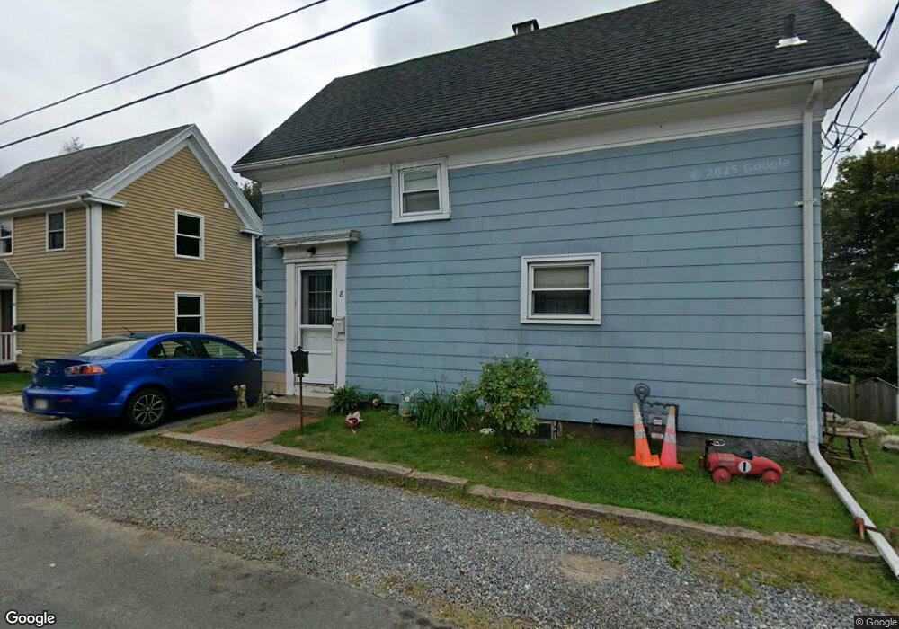
8 Ashland Place Gloucester, MA 01930
Riverview NeighborhoodEstimated Value: $429,000 - $487,000
2
Beds
2
Baths
689
Sq Ft
$663/Sq Ft
Est. Value
About This Home
This home is located at 8 Ashland Place, Gloucester, MA 01930 and is currently estimated at $456,963, approximately $663 per square foot. 8 Ashland Place is a home located in Essex County with nearby schools including Plum Cove School, Ralph B O'maley Middle School, and Gloucester High School.
Ownership History
Date
Name
Owned For
Owner Type
Purchase Details
Closed on
May 25, 1994
Sold by
Harvey Family Tr
Bought by
Patrican Daniel and Patrican Janice
Current Estimated Value
Home Financials for this Owner
Home Financials are based on the most recent Mortgage that was taken out on this home.
Original Mortgage
$50,000
Interest Rate
8.22%
Mortgage Type
Purchase Money Mortgage
Create a Home Valuation Report for This Property
The Home Valuation Report is an in-depth analysis detailing your home's value as well as a comparison with similar homes in the area
Home Values in the Area
Average Home Value in this Area
Purchase History
| Date | Buyer | Sale Price | Title Company |
|---|---|---|---|
| Patrican Daniel | $60,000 | -- |
Source: Public Records
Mortgage History
| Date | Status | Borrower | Loan Amount |
|---|---|---|---|
| Closed | Patrican Daniel | $50,000 |
Source: Public Records
Tax History Compared to Growth
Tax History
| Year | Tax Paid | Tax Assessment Tax Assessment Total Assessment is a certain percentage of the fair market value that is determined by local assessors to be the total taxable value of land and additions on the property. | Land | Improvement |
|---|---|---|---|---|
| 2025 | $3,334 | $343,000 | $147,600 | $195,400 |
| 2024 | $3,269 | $336,000 | $140,600 | $195,400 |
| 2023 | $3,034 | $286,500 | $125,500 | $161,000 |
| 2022 | $3,005 | $256,200 | $109,200 | $147,000 |
| 2021 | $2,959 | $237,900 | $99,200 | $138,700 |
| 2020 | $2,868 | $232,600 | $99,200 | $133,400 |
| 2019 | $2,674 | $210,700 | $99,200 | $111,500 |
| 2018 | $2,555 | $197,600 | $99,200 | $98,400 |
| 2017 | $2,456 | $186,200 | $94,500 | $91,700 |
| 2016 | $2,356 | $173,100 | $98,600 | $74,500 |
| 2015 | $2,290 | $167,800 | $98,600 | $69,200 |
Source: Public Records
Map
Nearby Homes
- 196 Washington St
- 6 Monroe Ct
- 15 Harvard St
- 98 Maplewood Ave
- 84 Centennial Ave
- 78 Grove St
- 16 Cleveland Place Unit 11
- 20 Beacon St Unit 2
- 20 Beacon St Unit 1
- 40 Sargent St
- 33 Maplewood Ave Unit 16
- 145 Essex St Unit 622
- 55 Mansfield St Unit A
- 55 Mansfield St Unit B
- 55 Mansfield St
- 33 Middle St
- 5 Marshfield St
- 5 Samoset Rd Unit B
- 10 Oak St Unit 3
- 118 Prospect St
- 6 Ashland Place
- 10 Ashland Place
- 4 Ashland Place
- 12 Ashland Place
- 5 Ashland Place
- 7 Ashland Place
- 3 Ashland Place
- 2 Ashland Place
- 9 Ashland Place
- 1 Ashland Place
- 14 Ashland Place
- 6 Cunningham Rd
- 8 Cunningham Rd
- 11 Ashland Place
- 4 Cunningham Rd
- 10 Cunningham Rd
- 258 Washington St
- 12 Cunningham Rd
- 14 Cunningham Rd
- 7 Cunningham Rd