Estimated Value: $1,210,000 - $1,316,000
4
Beds
3
Baths
3,600
Sq Ft
$349/Sq Ft
Est. Value
About This Home
This home is located at 8 Assabet Crossing, Acton, MA 01720 and is currently estimated at $1,254,907, approximately $348 per square foot. 8 Assabet Crossing is a home located in Middlesex County with nearby schools including Acton-Boxborough Regional High School, Maynard Knowledge Beginnings, and The Imago School.
Ownership History
Date
Name
Owned For
Owner Type
Purchase Details
Closed on
Jan 22, 2015
Sold by
Krishnamurthy Anand and Lievano Ruth J
Bought by
Ruth J Lievano T
Current Estimated Value
Purchase Details
Closed on
Sep 28, 2007
Sold by
Zhang Feng and Li Lena
Bought by
Krishnamurthy Anand and Lievano Ruth J
Purchase Details
Closed on
Sep 15, 2000
Sold by
Wei Max L and Chang Harvie
Bought by
Zhang Feng and Lis Lena
Create a Home Valuation Report for This Property
The Home Valuation Report is an in-depth analysis detailing your home's value as well as a comparison with similar homes in the area
Home Values in the Area
Average Home Value in this Area
Purchase History
| Date | Buyer | Sale Price | Title Company |
|---|---|---|---|
| Ruth J Lievano T | -- | -- | |
| Krishnamurthy Anand | $690,000 | -- | |
| Zhang Feng | $539,800 | -- |
Source: Public Records
Mortgage History
| Date | Status | Borrower | Loan Amount |
|---|---|---|---|
| Previous Owner | Zhang Feng | $239,000 | |
| Previous Owner | Zhang Feng | $261,000 | |
| Previous Owner | Zhang Feng | $280,000 |
Source: Public Records
Tax History Compared to Growth
Tax History
| Year | Tax Paid | Tax Assessment Tax Assessment Total Assessment is a certain percentage of the fair market value that is determined by local assessors to be the total taxable value of land and additions on the property. | Land | Improvement |
|---|---|---|---|---|
| 2025 | $18,481 | $1,077,600 | $392,700 | $684,900 |
| 2024 | $17,885 | $1,072,900 | $392,700 | $680,200 |
| 2023 | $17,462 | $994,400 | $357,100 | $637,300 |
| 2022 | $16,509 | $848,800 | $311,500 | $537,300 |
| 2021 | $16,271 | $804,300 | $288,300 | $516,000 |
| 2020 | $15,334 | $797,000 | $288,300 | $508,700 |
| 2019 | $14,737 | $760,800 | $288,300 | $472,500 |
| 2018 | $14,454 | $745,800 | $288,300 | $457,500 |
| 2017 | $13,759 | $721,900 | $288,300 | $433,600 |
| 2016 | $13,649 | $709,800 | $288,300 | $421,500 |
| 2015 | $13,400 | $703,400 | $288,300 | $415,100 |
| 2014 | $12,891 | $662,800 | $288,300 | $374,500 |
Source: Public Records
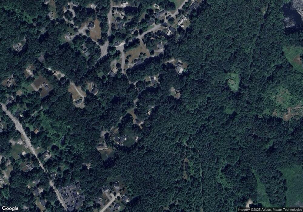
Map
Nearby Homes
- 132 Parker St Unit G5
- 1 Maillet Dr
- 128 Parker St Unit 3B
- 118 Parker St Unit 16
- 96 Forest Ridge Rd Unit 96
- 2 Clover Hill Rd
- 9 Black Birch Ln Unit 9
- 80 N Branch Rd
- 29 Black Birch Ln Unit 29
- 2 & 6 Powder Mill Rd
- 12 Brewster Ln
- 69 Powder Mill Rd
- 66 Powder Mill Rd
- 128 Audubon Dr
- 70 River St
- 1844 Main St Unit 1844
- 7 King St
- 25 Main St
- 20 Tremont St
- 40 High St
- 10 Assabet Crossing
- 4 Assabet Crossing
- 6 Assabet Crossing
- 12 Assabet Crossing
- 2 Assabet Crossing
- 9 Independence Rd
- 1 Assabet Crossing
- 164 Parker St
- 11 Independence Rd
- 11 Independence Rd Unit 11
- 14 Assabet Crossing
- 4 Independence Rd
- 170 Parker St
- 170 Parker St Unit 170
- 6 Independence Rd
- 13 Independence Rd
- 2 Concetta Cir
- 150 Parker St
- 10 Independence Rd
- 10 Dunham Ln