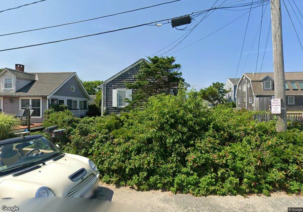
8 Atlantic St Unit 1 Marshfield, MA 02050
Ocean Bluff-Brant Rock NeighborhoodEstimated Value: $659,548 - $770,000
2
Beds
1
Bath
760
Sq Ft
$927/Sq Ft
Est. Value
About This Home
This home is located at 8 Atlantic St Unit 1, Marshfield, MA 02050 and is currently estimated at $704,387, approximately $926 per square foot. 8 Atlantic St Unit 1 is a home located in Plymouth County with nearby schools including Daniel Webster, Furnace Brook Middle School, and Marshfield High School.
Ownership History
Date
Name
Owned For
Owner Type
Purchase Details
Closed on
Mar 6, 2018
Sold by
Geraci John M
Bought by
Geraci Rt and Geraci
Current Estimated Value
Purchase Details
Closed on
Feb 1, 2000
Sold by
Ostrander Harry M and Ostrander Philip V
Bought by
8 Atlantic Street Rt and Gerachi
Create a Home Valuation Report for This Property
The Home Valuation Report is an in-depth analysis detailing your home's value as well as a comparison with similar homes in the area
Home Values in the Area
Average Home Value in this Area
Purchase History
| Date | Buyer | Sale Price | Title Company |
|---|---|---|---|
| Geraci Rt | -- | -- | |
| 8 Atlantic Street Rt | $205,000 | -- |
Source: Public Records
Mortgage History
| Date | Status | Borrower | Loan Amount |
|---|---|---|---|
| Previous Owner | 8 Atlantic Street Rt | $70,000 |
Source: Public Records
Tax History Compared to Growth
Tax History
| Year | Tax Paid | Tax Assessment Tax Assessment Total Assessment is a certain percentage of the fair market value that is determined by local assessors to be the total taxable value of land and additions on the property. | Land | Improvement |
|---|---|---|---|---|
| 2025 | $6,017 | $607,800 | $500,300 | $107,500 |
| 2024 | $6,013 | $578,700 | $476,400 | $102,300 |
| 2023 | $6,155 | $522,400 | $436,700 | $85,700 |
| 2022 | $6,155 | $475,300 | $397,000 | $78,300 |
| 2021 | $5,827 | $441,800 | $371,200 | $70,600 |
| 2020 | $5,653 | $424,100 | $357,300 | $66,800 |
| 2019 | $5,624 | $420,300 | $357,300 | $63,000 |
| 2018 | $5,127 | $383,500 | $321,600 | $61,900 |
| 2017 | $5,149 | $375,300 | $321,600 | $53,700 |
| 2016 | $4,879 | $351,500 | $297,800 | $53,700 |
| 2015 | $4,988 | $375,300 | $321,600 | $53,700 |
| 2014 | $4,935 | $371,300 | $317,600 | $53,700 |
Source: Public Records
Map
Nearby Homes
- 8 Atlantic St
- 12 Atlantic St
- 4 Atlantic St Unit 4
- 4 Atlantic St
- 6 Atlantic St
- 6 Atlantic St Unit 9999
- 7 Minot St
- 16 Atlantic St
- 3 Minot St
- 11 Atlantic St Unit 11
- 11 Minot St
- 11 Atlantic St
- 1 Atlantic St
- 1 Minot St
- 3 Atlantic St Unit 3
- 19 Minot St
- 3 Atlantic St
- 30 Atlantic St
- 19 Atlantic St
- 150 Standish St