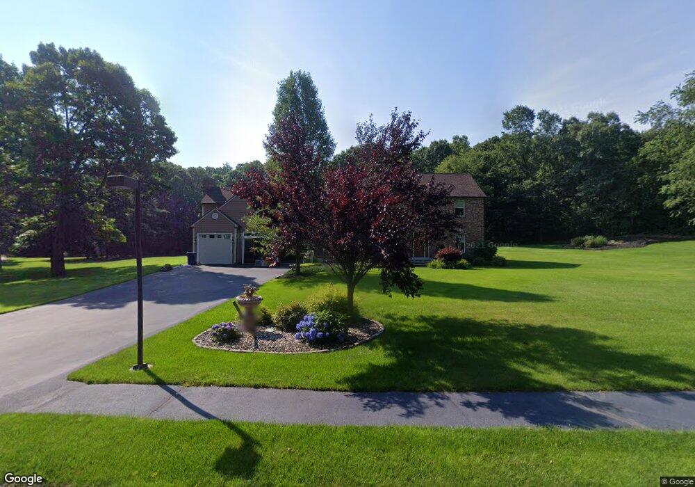
8 Beechwood Dr Sutton, MA 01590
Estimated Value: $690,000 - $1,000,000
4
Beds
4
Baths
3,375
Sq Ft
$256/Sq Ft
Est. Value
About This Home
This home is located at 8 Beechwood Dr, Sutton, MA 01590 and is currently estimated at $864,207, approximately $256 per square foot. 8 Beechwood Dr is a home located in Worcester County with nearby schools including Sutton Elementary School, Sutton Middle School, and Sutton High School.
Ownership History
Date
Name
Owned For
Owner Type
Purchase Details
Closed on
Dec 4, 1995
Sold by
Dauphinais Paul E and Dauphinais Arline
Bought by
Nevalsky Brian D and Nevalsky Kelly
Current Estimated Value
Home Financials for this Owner
Home Financials are based on the most recent Mortgage that was taken out on this home.
Original Mortgage
$172,500
Outstanding Balance
$3,529
Interest Rate
7.37%
Mortgage Type
Purchase Money Mortgage
Estimated Equity
$860,678
Create a Home Valuation Report for This Property
The Home Valuation Report is an in-depth analysis detailing your home's value as well as a comparison with similar homes in the area
Home Values in the Area
Average Home Value in this Area
Purchase History
| Date | Buyer | Sale Price | Title Company |
|---|---|---|---|
| Nevalsky Brian D | $230,000 | -- |
Source: Public Records
Mortgage History
| Date | Status | Borrower | Loan Amount |
|---|---|---|---|
| Open | Nevalsky Brian D | $35,000 | |
| Open | Nevalsky Brian D | $172,500 | |
| Closed | Nevalsky Brian D | $30,500 |
Source: Public Records
Tax History
| Year | Tax Paid | Tax Assessment Tax Assessment Total Assessment is a certain percentage of the fair market value that is determined by local assessors to be the total taxable value of land and additions on the property. | Land | Improvement |
|---|---|---|---|---|
| 2025 | $10,477 | $871,600 | $188,900 | $682,700 |
| 2024 | $10,329 | $814,600 | $180,500 | $634,100 |
| 2023 | $10,202 | $736,600 | $163,700 | $572,900 |
| 2022 | $9,811 | $646,300 | $124,700 | $521,600 |
| 2021 | $9,538 | $596,100 | $124,700 | $471,400 |
| 2020 | $9,454 | $596,100 | $124,700 | $471,400 |
| 2019 | $9,159 | $554,400 | $124,700 | $429,700 |
| 2018 | $8,760 | $529,300 | $124,700 | $404,600 |
| 2017 | $8,648 | $524,100 | $109,500 | $414,600 |
| 2016 | $8,492 | $509,100 | $109,500 | $399,600 |
| 2015 | $8,157 | $489,000 | $109,500 | $379,500 |
| 2014 | $7,761 | $459,800 | $115,200 | $344,600 |
Source: Public Records
Map
Nearby Homes
- 66 Buttonwood Ave
- 126 Burbank Rd
- 32 Sibley Rd
- 99 Burbank Road Lot 182
- 99 Burbank Rd
- 128 Worcester Providence Turnpike
- 124 Worcester Providence Turnpike
- 8 Sullivan Place
- 2 Granite St
- 1 Burbank Rd
- 99 Highland View Dr
- 229 Worcester-Providence Turnpike
- 82 Dodge Hill Rd
- 175 Armsby Rd
- 125 Singletary Ave
- 0 W Main St
- 5 Louis Ballard Ln
- 294 Boston Rd
- 47 Singletary Ave
- 183 Pleasant St Unit 2
Your Personal Tour Guide
Ask me questions while you tour the home.