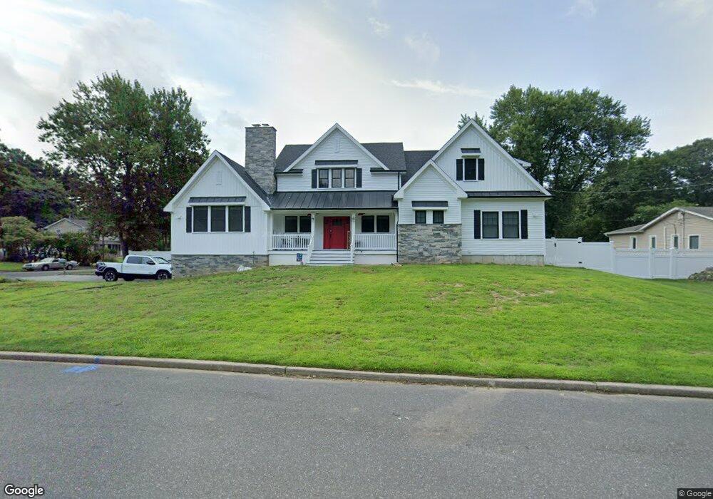
8 Bluetop Rd East Setauket, NY 11733
Estimated Value: $754,000 - $833,000
3
Beds
2
Baths
1,708
Sq Ft
$463/Sq Ft
Est. Value
About This Home
This home is located at 8 Bluetop Rd, East Setauket, NY 11733 and is currently estimated at $790,657, approximately $462 per square foot. 8 Bluetop Rd is a home located in Suffolk County with nearby schools including Minnesauke Elementary School, Paul J Gelinas Junior High School, and Ward Melville Senior High School.
Ownership History
Date
Name
Owned For
Owner Type
Purchase Details
Closed on
Aug 8, 2022
Sold by
Badilo Michael K and Rosensky-Badillo Dayna
Bought by
Badillo
Current Estimated Value
Purchase Details
Closed on
Apr 7, 2011
Sold by
Antoci Sara M and Antoci George A
Bought by
Badillo Michael K and Rosensky Badillo Dayna
Home Financials for this Owner
Home Financials are based on the most recent Mortgage that was taken out on this home.
Original Mortgage
$379,138
Interest Rate
5.5%
Mortgage Type
FHA
Create a Home Valuation Report for This Property
The Home Valuation Report is an in-depth analysis detailing your home's value as well as a comparison with similar homes in the area
Home Values in the Area
Average Home Value in this Area
Purchase History
| Date | Buyer | Sale Price | Title Company |
|---|---|---|---|
| Badillo | -- | None Available | |
| Badillo Michael K | $389,000 | -- |
Source: Public Records
Mortgage History
| Date | Status | Borrower | Loan Amount |
|---|---|---|---|
| Previous Owner | Badillo Michael K | $379,138 |
Source: Public Records
Tax History Compared to Growth
Tax History
| Year | Tax Paid | Tax Assessment Tax Assessment Total Assessment is a certain percentage of the fair market value that is determined by local assessors to be the total taxable value of land and additions on the property. | Land | Improvement |
|---|---|---|---|---|
| 2024 | $13,217 | $3,385 | $400 | $2,985 |
| 2023 | $13,217 | $3,385 | $400 | $2,985 |
| 2022 | $11,852 | $3,385 | $400 | $2,985 |
| 2021 | $11,852 | $3,385 | $400 | $2,985 |
| 2020 | $12,242 | $3,385 | $400 | $2,985 |
| 2019 | $12,242 | $0 | $0 | $0 |
| 2018 | $11,613 | $3,385 | $400 | $2,985 |
| 2017 | $11,613 | $3,385 | $400 | $2,985 |
| 2016 | $11,449 | $3,385 | $400 | $2,985 |
| 2015 | -- | $3,385 | $400 | $2,985 |
| 2014 | -- | $3,385 | $400 | $2,985 |
Source: Public Records
Map
Nearby Homes
- 28 Buckingham Meadow Rd
- 121 Lower Sheep Pasture Rd
- 16 Abbey Ln Unit 116
- 3 Somerset Ct
- 155 Lower Sheep Pasture Rd
- 5 Stony Wood Rd
- 67 Ridgeway Ave
- 19 Fox Rd
- 63 Ridgeway Ave
- 20 Huyler Rd
- 14 Brewster Hill Rd
- 169 Old Town Rd
- 27 Upper Sheep Pasture Rd
- 26 Brewster Hill Rd
- 63-LOT1 N Country Rd
- 18 Huyler Ct
- 30 Yorktown Rd
- 10 Spyglass Ln
- 11 Quaker Path
- 28 Christian Ave