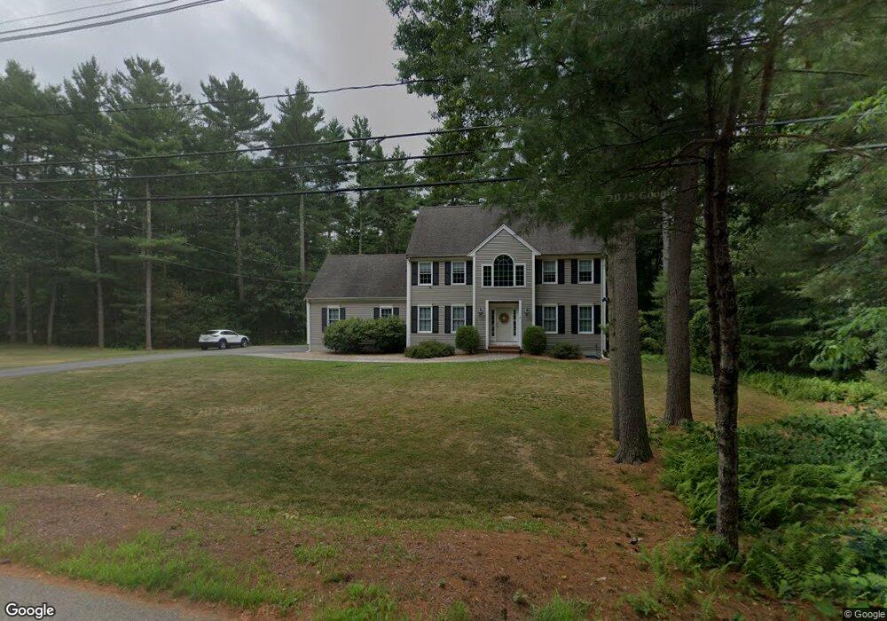
8 Bluff Head Rd Sharon, MA 02067
Estimated Value: $968,000 - $1,240,000
3
Beds
3
Baths
2,420
Sq Ft
$449/Sq Ft
Est. Value
About This Home
This home is located at 8 Bluff Head Rd, Sharon, MA 02067 and is currently estimated at $1,087,210, approximately $449 per square foot. 8 Bluff Head Rd is a home located in Norfolk County with nearby schools including Heights Elementary School, Sharon Middle School, and Sharon High School.
Ownership History
Date
Name
Owned For
Owner Type
Purchase Details
Closed on
Sep 30, 2004
Sold by
Bluff Head Road Rt and Intoccia Michael T
Bought by
Rittenberg Elisha H and Rittenberg Lee A
Current Estimated Value
Home Financials for this Owner
Home Financials are based on the most recent Mortgage that was taken out on this home.
Original Mortgage
$275,000
Outstanding Balance
$136,559
Interest Rate
5.81%
Mortgage Type
Purchase Money Mortgage
Estimated Equity
$950,651
Create a Home Valuation Report for This Property
The Home Valuation Report is an in-depth analysis detailing your home's value as well as a comparison with similar homes in the area
Home Values in the Area
Average Home Value in this Area
Purchase History
| Date | Buyer | Sale Price | Title Company |
|---|---|---|---|
| Rittenberg Elisha H | $653,390 | -- |
Source: Public Records
Mortgage History
| Date | Status | Borrower | Loan Amount |
|---|---|---|---|
| Open | Rittenberg Elisha H | $275,000 |
Source: Public Records
Tax History
| Year | Tax Paid | Tax Assessment Tax Assessment Total Assessment is a certain percentage of the fair market value that is determined by local assessors to be the total taxable value of land and additions on the property. | Land | Improvement |
|---|---|---|---|---|
| 2025 | $16,877 | $965,500 | $489,100 | $476,400 |
| 2024 | $16,195 | $921,200 | $448,800 | $472,400 |
| 2023 | $15,452 | $831,200 | $419,700 | $411,500 |
| 2022 | $14,662 | $742,400 | $349,600 | $392,800 |
| 2021 | $14,534 | $711,400 | $329,800 | $381,600 |
| 2020 | $13,802 | $726,400 | $344,800 | $381,600 |
| 2019 | $13,077 | $673,700 | $292,100 | $381,600 |
| 2018 | $12,935 | $667,800 | $286,200 | $381,600 |
| 2017 | $13,465 | $686,300 | $267,700 | $418,600 |
| 2016 | $13,057 | $649,300 | $267,700 | $381,600 |
| 2015 | $12,355 | $608,600 | $243,600 | $365,000 |
| 2014 | $11,446 | $557,000 | $221,400 | $335,600 |
Source: Public Records
Map
Nearby Homes
- 483 S Main St
- 180 Old Post Rd Unit 202
- 180 Old Post Rd Unit 206
- 180 Old Post Rd Unit 308
- 180 Old Post Rd Unit 201
- 180 Old Post Rd Unit 405
- 180 Old Post Rd Unit 207
- 668 S Main St
- 0 U S Route 1
- 2 Foxfire Dr
- 635 Old Post Rd Unit 303
- 635 Old Post Rd Unit 302
- 635 Old Post Rd Unit 210
- 635 Old Post Rd Unit 2-203
- 111 E Foxboro St
- 1 Roseland St Unit B-14
- 120 Beach St
- 174 E Foxboro St
- 6 Eleanor Rd
- 277 Everett St
- 6 Bluff Head Rd
- 10 Bluff Head Rd
- 11 Bluff Head Rd
- 13 Bluff Head Rd
- 12 Bluff Head Rd
- 15 Bluff Head Rd
- 14 Bluff Head Rd
- 17 Bluff Head Rd
- 5 Bluff Head Cir
- 112 Walpole St
- 16 Bluff Head Rd
- 3 Bluff Head Cir
- 3 Bluff Head Cir
- 1 Bluff Head Cir
- 21 Bluff Head Rd
- 105 Walpole St
- 23 Bluff Head Rd
- 234 Walpole St
- 60 Moose Hill St
- 88 Walpole St
Your Personal Tour Guide
Ask me questions while you tour the home.