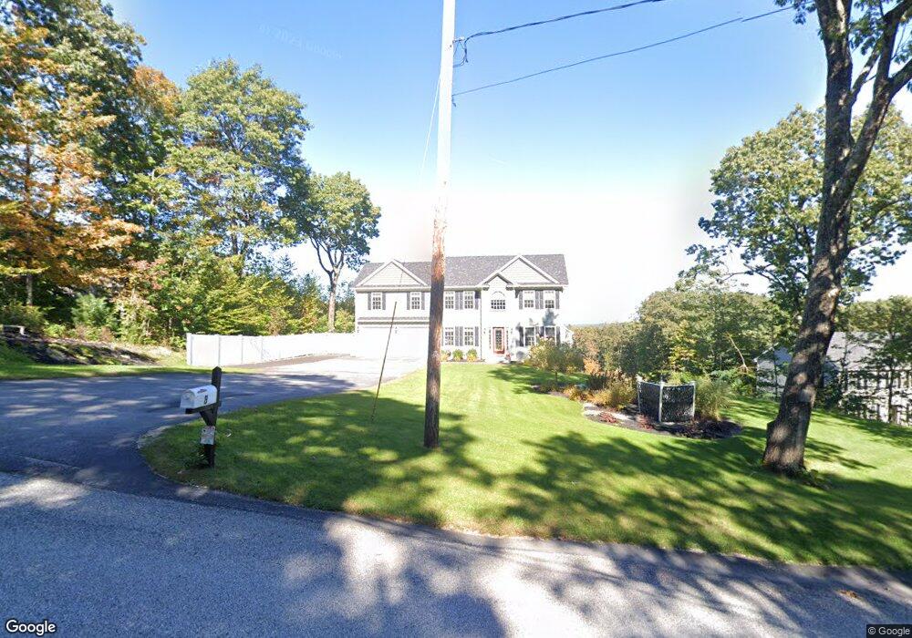
8 Bolton Rd Westminster, MA 01473
Estimated Value: $918,000 - $975,000
4
Beds
3
Baths
2,676
Sq Ft
$356/Sq Ft
Est. Value
About This Home
This home is located at 8 Bolton Rd, Westminster, MA 01473 and is currently estimated at $952,792, approximately $356 per square foot. 8 Bolton Rd is a home located in Worcester County with nearby schools including Oakmont Regional High School.
Ownership History
Date
Name
Owned For
Owner Type
Purchase Details
Closed on
Jul 8, 2025
Sold by
Rogers James and Rogers Sherri L
Bought by
Nickerson Nathan and Nickerson Samantha
Current Estimated Value
Home Financials for this Owner
Home Financials are based on the most recent Mortgage that was taken out on this home.
Original Mortgage
$806,500
Outstanding Balance
$803,758
Interest Rate
6.86%
Mortgage Type
New Conventional
Estimated Equity
$149,034
Purchase Details
Closed on
Feb 27, 2019
Sold by
Greenstone Realty Llc
Bought by
Tammelin Sherri L and Rogers James
Home Financials for this Owner
Home Financials are based on the most recent Mortgage that was taken out on this home.
Original Mortgage
$469,080
Interest Rate
4.4%
Mortgage Type
New Conventional
Create a Home Valuation Report for This Property
The Home Valuation Report is an in-depth analysis detailing your home's value as well as a comparison with similar homes in the area
Home Values in the Area
Average Home Value in this Area
Purchase History
| Date | Buyer | Sale Price | Title Company |
|---|---|---|---|
| Nickerson Nathan | $950,000 | -- | |
| Nickerson Nathan | $950,000 | -- | |
| Tammelin Sherri L | $586,350 | -- | |
| Tammelin Sherri L | $586,350 | -- |
Source: Public Records
Mortgage History
| Date | Status | Borrower | Loan Amount |
|---|---|---|---|
| Open | Nickerson Nathan | $806,500 | |
| Closed | Nickerson Nathan | $806,500 | |
| Previous Owner | Tammelin Sherri L | $469,080 |
Source: Public Records
Tax History Compared to Growth
Tax History
| Year | Tax Paid | Tax Assessment Tax Assessment Total Assessment is a certain percentage of the fair market value that is determined by local assessors to be the total taxable value of land and additions on the property. | Land | Improvement |
|---|---|---|---|---|
| 2025 | $9,015 | $732,900 | $147,500 | $585,400 |
| 2024 | $8,649 | $705,500 | $147,500 | $558,000 |
| 2023 | $8,535 | $653,500 | $137,900 | $515,600 |
| 2022 | $8,875 | $561,700 | $121,600 | $440,100 |
| 2021 | $9,216 | $549,900 | $107,800 | $442,100 |
| 2020 | $2,025 | $115,400 | $99,200 | $16,200 |
| 2019 | $1,544 | $84,600 | $84,600 | $0 |
| 2018 | $2,152 | $116,000 | $116,000 | $0 |
| 2017 | $2,110 | $116,000 | $116,000 | $0 |
| 2016 | $1,951 | $103,900 | $103,900 | $0 |
| 2015 | $1,969 | $103,900 | $103,900 | $0 |
| 2014 | $1,972 | $103,900 | $103,900 | $0 |
Source: Public Records
Map
Nearby Homes
- 62 Bolton Rd Unit Applewood
- 207 W Princeton Rd
- 20 Wachusett Dr
- 21 Davis Rd
- 240-Lot 2 Davis Rd
- 0 Minott Rd
- 3 Woods Rd
- 20 Lakewood Park Rd
- 46 Pine Hill Rd
- 47 Pine Hill Rd
- 5 Linda Dr Unit The Connor
- Lot A Frog Hollow Rd
- 82 Narrows Rd
- 0 Worcester Rd Unit 73326124
- 17 Leominster St
- 2 Old Town Farm Rd
- 13 Elliott St
- 169 Narrows Rd
- 4 Tandem Dr
- 51 State Rd E