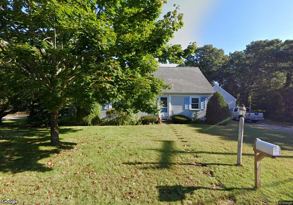
8 Bowsprit Path West Yarmouth, MA 02673
West Yarmouth NeighborhoodEstimated Value: $811,000 - $1,037,000
4
Beds
4
Baths
1,801
Sq Ft
$524/Sq Ft
Est. Value
About This Home
This home is located at 8 Bowsprit Path, West Yarmouth, MA 02673 and is currently estimated at $942,874, approximately $523 per square foot. 8 Bowsprit Path is a home located in Barnstable County with nearby schools including Dennis-Yarmouth Regional High School, Sturgis Charter Public School, and Kiddie Kollege Early Learning Center.
Ownership History
Date
Name
Owned For
Owner Type
Purchase Details
Closed on
Apr 11, 2012
Sold by
Boots Terence M and Boots Karin R
Bought by
Frostholm Karin R
Current Estimated Value
Home Financials for this Owner
Home Financials are based on the most recent Mortgage that was taken out on this home.
Original Mortgage
$250,000
Outstanding Balance
$172,678
Interest Rate
3.91%
Mortgage Type
New Conventional
Estimated Equity
$770,196
Purchase Details
Closed on
Jul 31, 1998
Sold by
Kittila Robert M and Kittila Sandra J
Bought by
Boots Terence M and Boots Karin R
Home Financials for this Owner
Home Financials are based on the most recent Mortgage that was taken out on this home.
Original Mortgage
$115,000
Interest Rate
6.92%
Mortgage Type
Purchase Money Mortgage
Create a Home Valuation Report for This Property
The Home Valuation Report is an in-depth analysis detailing your home's value as well as a comparison with similar homes in the area
Home Values in the Area
Average Home Value in this Area
Purchase History
| Date | Buyer | Sale Price | Title Company |
|---|---|---|---|
| Frostholm Karin R | -- | -- | |
| Boots Terence M | $215,000 | -- |
Source: Public Records
Mortgage History
| Date | Status | Borrower | Loan Amount |
|---|---|---|---|
| Open | Frostholm Karin R | $250,000 | |
| Previous Owner | Boots Terence M | $285,000 | |
| Previous Owner | Boots Terence M | $240,000 | |
| Previous Owner | Boots Terence M | $115,000 | |
| Previous Owner | Boots Terence M | $70,000 |
Source: Public Records
Tax History Compared to Growth
Tax History
| Year | Tax Paid | Tax Assessment Tax Assessment Total Assessment is a certain percentage of the fair market value that is determined by local assessors to be the total taxable value of land and additions on the property. | Land | Improvement |
|---|---|---|---|---|
| 2025 | $5,966 | $842,600 | $291,100 | $551,500 |
| 2024 | $5,517 | $747,500 | $253,100 | $494,400 |
| 2023 | $5,266 | $649,300 | $179,500 | $469,800 |
| 2022 | $5,275 | $574,600 | $160,600 | $414,000 |
| 2021 | $4,758 | $497,700 | $160,600 | $337,100 |
| 2020 | $4,724 | $472,400 | $158,100 | $314,300 |
| 2019 | $4,513 | $446,800 | $158,100 | $288,700 |
| 2018 | $4,597 | $437,500 | $148,800 | $288,700 |
| 2017 | $4,384 | $437,500 | $148,800 | $288,700 |
| 2016 | $4,366 | $437,500 | $148,800 | $288,700 |
| 2015 | $4,480 | $446,200 | $148,800 | $297,400 |
Source: Public Records
Map
Nearby Homes
- 16 Yacht Ave
- 32 Schooner St
- 21 Schooner St
- 503 Route 28 Unit 25
- 29 Winchester Ave
- 21 Heritage Dr
- 6 New Hampshire Ave Unit D
- 4 Columbus Ave
- 32 Wimbledon Dr
- 85 Baker Rd
- 107 Wimbledon Dr
- 286 S Sea Ave
- 54 Boxberry Ln
- 15 Mayflower Rd
- 15 Webster Rd
- 2 Candlewood Ln
- 9 Roberta Dr
- 55 Pawkannawkut Dr
- 109 Seaview Ave Unit 11
- 0 Ken's Way
- 14 Bowsprit Path
- 124 Silverleaf Ln
- 125 Springer Ln
- 9 Bowsprit Path
- 119 Springer Ln
- 130 Silverleaf Ln
- 27 Egg Harbor Rd
- 110-116 Silverleaf Ln
- 115 Springer Ln
- 23 Egg Harbor Rd
- 10 Morgan Rd
- 127 Silverleaf Ln
- 121 Silverleaf Ln
- 6 Morgan Rd
- 110 Silverleaf Ln Unit 116
- 126 Springer Ln
- 120 Springer Ln
- 120 Springer Ln Unit 1
- 8 Morgan Rd
- 17 Egg Harbor Rd