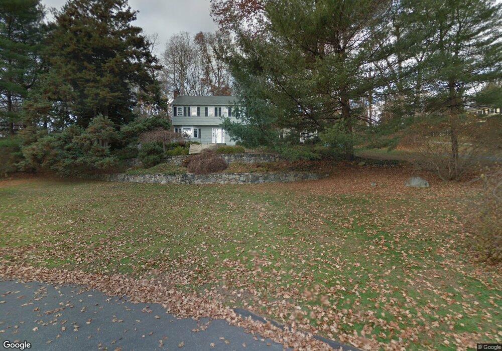
8 Brenner Ln Norwalk, CT 06851
Cranbury NeighborhoodEstimated Value: $792,000 - $1,064,000
4
Beds
3
Baths
2,200
Sq Ft
$429/Sq Ft
Est. Value
About This Home
This home is located at 8 Brenner Ln, Norwalk, CT 06851 and is currently estimated at $942,705, approximately $428 per square foot. 8 Brenner Ln is a home located in Fairfield County with nearby schools including Cranbury Elementary School, West Rocks Middle School, and Norwalk High School.
Ownership History
Date
Name
Owned For
Owner Type
Purchase Details
Closed on
Aug 15, 1997
Sold by
Polk Michael B
Bought by
Canestrini John and Canestrini Jane
Current Estimated Value
Purchase Details
Closed on
Dec 15, 1994
Sold by
Amirault Robert and Amirault Mary
Bought by
Polk Michael and Polk Cheryll
Home Financials for this Owner
Home Financials are based on the most recent Mortgage that was taken out on this home.
Original Mortgage
$239,200
Interest Rate
8.88%
Mortgage Type
Unknown
Create a Home Valuation Report for This Property
The Home Valuation Report is an in-depth analysis detailing your home's value as well as a comparison with similar homes in the area
Home Values in the Area
Average Home Value in this Area
Purchase History
| Date | Buyer | Sale Price | Title Company |
|---|---|---|---|
| Canestrini John | $335,000 | -- | |
| Canestrini John | $335,000 | -- | |
| Polk Michael | $299,000 | -- | |
| Polk Michael | $299,000 | -- |
Source: Public Records
Mortgage History
| Date | Status | Borrower | Loan Amount |
|---|---|---|---|
| Previous Owner | Polk Michael | $239,200 |
Source: Public Records
Tax History Compared to Growth
Tax History
| Year | Tax Paid | Tax Assessment Tax Assessment Total Assessment is a certain percentage of the fair market value that is determined by local assessors to be the total taxable value of land and additions on the property. | Land | Improvement |
|---|---|---|---|---|
| 2025 | $11,786 | $496,460 | $241,790 | $254,670 |
| 2024 | $11,605 | $496,460 | $241,790 | $254,670 |
| 2023 | $9,801 | $392,560 | $192,910 | $199,650 |
| 2022 | $9,647 | $392,560 | $192,910 | $199,650 |
| 2021 | $8,208 | $392,560 | $192,910 | $199,650 |
| 2020 | $9,267 | $392,560 | $192,910 | $199,650 |
| 2019 | $8,950 | $392,560 | $192,910 | $199,650 |
| 2018 | $9,497 | $366,240 | $207,920 | $158,320 |
| 2017 | $9,165 | $366,240 | $207,920 | $158,320 |
| 2016 | $9,411 | $369,940 | $207,920 | $162,020 |
| 2015 | $8,369 | $366,240 | $207,920 | $158,320 |
| 2014 | $9,171 | $366,240 | $207,920 | $158,320 |
Source: Public Records
Map
Nearby Homes
- 6 Tulip Tree Ln
- 4A Newtown Turnpike
- 25 Hermit Ln
- 29 Grumman Ave
- 93 E Meadow Rd
- 32 Thistle Rd
- 10 Wilton Hunt Rd
- 4 Newtown Turnpike
- 41 Mohawk Dr
- 30 Cavalry Rd
- 10 Twin Falls Ln
- 56 Partrick Rd
- 87 Red Coat Rd
- 259 Wilton Rd
- 28 Village Ct
- 27 Stonecrop Rd
- 101 Chestnut Hill Rd
- 57 Partrick Rd
- 105 Danbury Rd
- 110 Dudley Rd