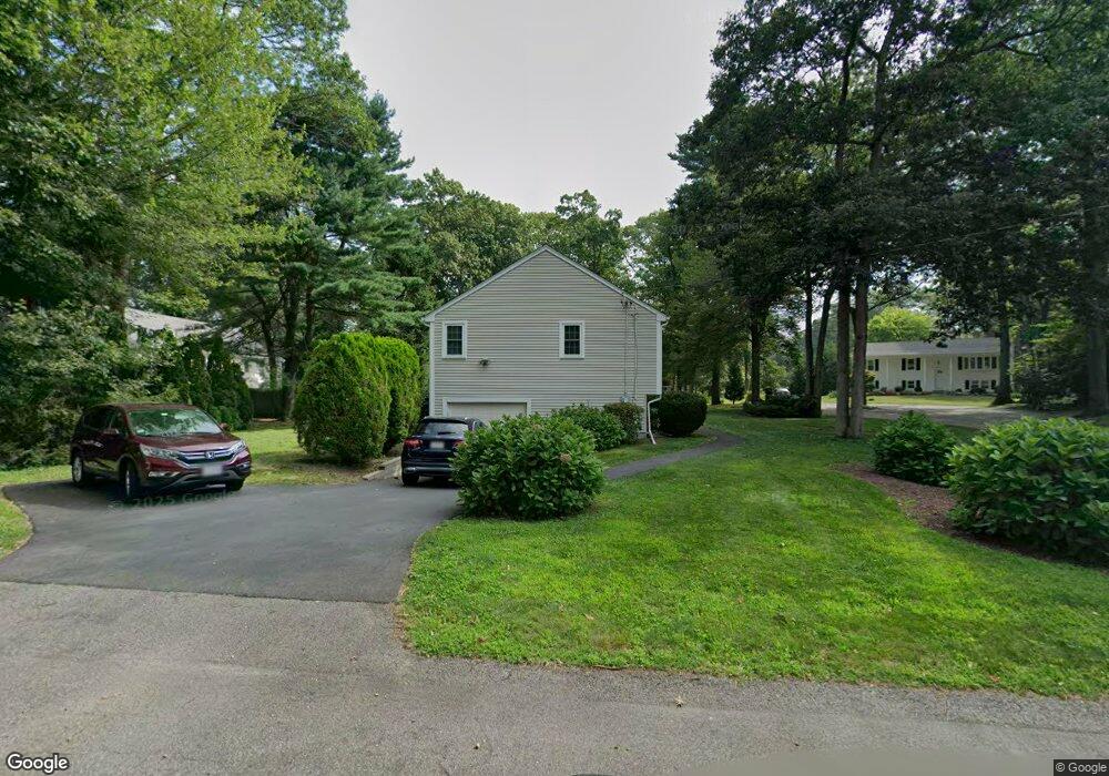
8 Briar Ln North Attleboro, MA 02760
North Attleboro NeighborhoodEstimated Value: $523,631 - $629,000
3
Beds
1
Bath
1,080
Sq Ft
$539/Sq Ft
Est. Value
About This Home
This home is located at 8 Briar Ln, North Attleboro, MA 02760 and is currently estimated at $581,908, approximately $538 per square foot. 8 Briar Ln is a home located in Bristol County with nearby schools including North Attleboro High School, Cadence Academy Preschool - North Attleborough, and Bishop Feehan High School.
Ownership History
Date
Name
Owned For
Owner Type
Purchase Details
Closed on
Jan 1, 1975
Bought by
Roland Charles J and Roland Loretta A
Current Estimated Value
Create a Home Valuation Report for This Property
The Home Valuation Report is an in-depth analysis detailing your home's value as well as a comparison with similar homes in the area
Home Values in the Area
Average Home Value in this Area
Purchase History
| Date | Buyer | Sale Price | Title Company |
|---|---|---|---|
| Roland Charles J | -- | -- |
Source: Public Records
Mortgage History
| Date | Status | Borrower | Loan Amount |
|---|---|---|---|
| Open | Roland Charles J | $90,000 | |
| Closed | Roland Charles J | $70,000 | |
| Closed | Roland Charles J | $35,000 |
Source: Public Records
Tax History Compared to Growth
Tax History
| Year | Tax Paid | Tax Assessment Tax Assessment Total Assessment is a certain percentage of the fair market value that is determined by local assessors to be the total taxable value of land and additions on the property. | Land | Improvement |
|---|---|---|---|---|
| 2025 | $5,528 | $468,900 | $128,700 | $340,200 |
| 2024 | $5,348 | $463,400 | $135,100 | $328,300 |
| 2023 | $5,561 | $434,800 | $135,100 | $299,700 |
| 2022 | $5,494 | $394,400 | $148,000 | $246,400 |
| 2021 | $5,367 | $376,100 | $167,200 | $208,900 |
| 2020 | $5,137 | $358,000 | $160,800 | $197,200 |
| 2019 | $4,762 | $334,400 | $134,500 | $199,900 |
| 2018 | $4,234 | $317,400 | $134,500 | $182,900 |
| 2017 | $4,040 | $305,600 | $134,500 | $171,100 |
| 2016 | $4,121 | $311,700 | $155,800 | $155,900 |
| 2015 | $4,093 | $311,500 | $175,300 | $136,200 |
| 2014 | $3,701 | $279,500 | $142,500 | $137,000 |
Source: Public Records
Map
Nearby Homes
- 15 Old Wood Rd
- 16 Raymond Hall Dr
- 116 George St
- 10 Sleepy Hollow Cir
- 11 Landry Ave
- 28 Messenger St
- Lot 5 Jeffrey Dr
- 2 George St Unit C
- 57 Vine St
- 9 Sunnyside Dr Unit 9
- 166 E Bacon St Unit 4
- Lot 2 Jeffrey Dr
- 33 Dublin Way
- 12 Houde St
- 2 Woodridge St Unit 2
- 4 Garden Ln
- 6 Hilltop Rd Unit 122
- 3 Serengeti Dr
- 115 Westfield Dr
- 52 George St Unit B