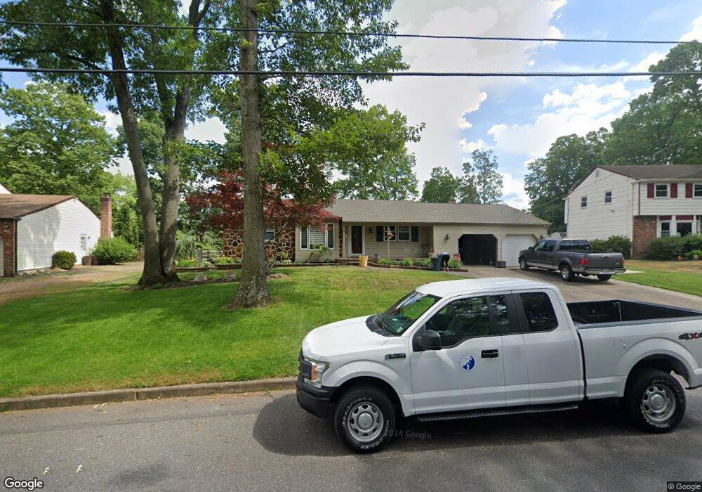
8 Bridge Dr Blackwood, NJ 08012
Washington Township NeighborhoodEstimated Value: $381,735 - $409,000
3
Beds
2
Baths
1,406
Sq Ft
$281/Sq Ft
Est. Value
About This Home
This home is located at 8 Bridge Dr, Blackwood, NJ 08012 and is currently estimated at $394,434, approximately $280 per square foot. 8 Bridge Dr is a home located in Gloucester County with nearby schools including Washington Township High School, Birches Elementary School, and Bunker Hill Middle School.
Ownership History
Date
Name
Owned For
Owner Type
Purchase Details
Closed on
Apr 30, 2009
Sold by
Clancy Thomas F and Clancy Diane M
Bought by
Altamuro Frank
Current Estimated Value
Home Financials for this Owner
Home Financials are based on the most recent Mortgage that was taken out on this home.
Original Mortgage
$126,900
Outstanding Balance
$80,178
Interest Rate
4.85%
Mortgage Type
New Conventional
Estimated Equity
$314,256
Purchase Details
Closed on
Jun 26, 2000
Sold by
Eliason Florence P
Bought by
Clancy Thomas F and Clancy Diane M
Home Financials for this Owner
Home Financials are based on the most recent Mortgage that was taken out on this home.
Original Mortgage
$55,000
Interest Rate
8.55%
Create a Home Valuation Report for This Property
The Home Valuation Report is an in-depth analysis detailing your home's value as well as a comparison with similar homes in the area
Home Values in the Area
Average Home Value in this Area
Purchase History
| Date | Buyer | Sale Price | Title Company |
|---|---|---|---|
| Altamuro Frank | $226,900 | Foundation Title Llc | |
| Clancy Thomas F | $127,000 | -- |
Source: Public Records
Mortgage History
| Date | Status | Borrower | Loan Amount |
|---|---|---|---|
| Open | Altamuro Frank | $126,900 | |
| Previous Owner | Clancy Thomas F | $55,000 |
Source: Public Records
Tax History Compared to Growth
Tax History
| Year | Tax Paid | Tax Assessment Tax Assessment Total Assessment is a certain percentage of the fair market value that is determined by local assessors to be the total taxable value of land and additions on the property. | Land | Improvement |
|---|---|---|---|---|
| 2025 | $7,953 | $215,000 | $62,600 | $152,400 |
| 2024 | $7,729 | $215,000 | $62,600 | $152,400 |
| 2023 | $7,729 | $215,000 | $62,600 | $152,400 |
| 2022 | $7,476 | $215,000 | $62,600 | $152,400 |
| 2021 | $5,504 | $215,000 | $62,600 | $152,400 |
| 2020 | $7,644 | $215,000 | $62,600 | $152,400 |
| 2019 | $6,831 | $187,400 | $39,300 | $148,100 |
| 2018 | $6,754 | $187,400 | $39,300 | $148,100 |
| 2017 | $6,670 | $187,400 | $39,300 | $148,100 |
| 2016 | $7,345 | $207,600 | $39,300 | $168,300 |
| 2015 | $7,241 | $207,600 | $39,300 | $168,300 |
| 2014 | $7,013 | $207,600 | $39,300 | $168,300 |
Source: Public Records
Map
Nearby Homes
- 12 Maple Leaf Cir
- 41 Bridge Dr
- 36 Bridge Dr
- 77 Maple Leaf Cir
- 804 Briarwood Ct
- 1504 Hawthorne Ct Unit 1504
- 1606 Hawthorne Ct Unit 6
- 28 Anne's Ct
- 2107 Tanglewood Ct
- 40 Peacock Cir
- 137 Alpha Ct
- 7 White Birch Rd
- 93 Claire Ct Unit 3
- 4 River Birch Rd
- 54 Libra Ln
- 24 Fomalhaut Ave
- 29 Melony Ln
- 11 Cider Press Ln
- 106 Capella Rd
- 33 Brighton Place Unit F1