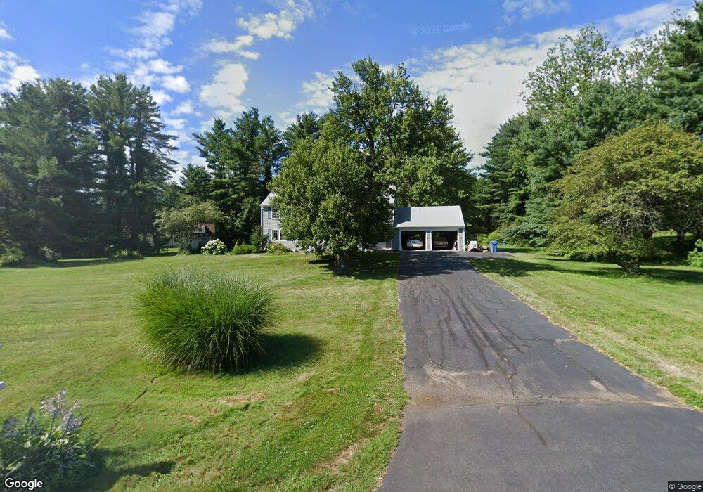
8 Brook Dr Simsbury, CT 06070
Estimated Value: $666,000 - $677,000
5
Beds
3
Baths
2,846
Sq Ft
$236/Sq Ft
Est. Value
About This Home
This home is located at 8 Brook Dr, Simsbury, CT 06070 and is currently estimated at $672,655, approximately $236 per square foot. 8 Brook Dr is a home located in Hartford County with nearby schools including Squadron Line School, Henry James Memorial School, and Simsbury High School.
Ownership History
Date
Name
Owned For
Owner Type
Purchase Details
Closed on
Oct 22, 2025
Sold by
Samson Phillip A
Bought by
Sperry Martha E
Current Estimated Value
Purchase Details
Closed on
Jun 12, 2025
Sold by
Oseychik Scott M and Slawsby Lisa M
Bought by
Oseychik Linda M and Oseychik Robert M
Purchase Details
Closed on
Sep 10, 2024
Sold by
Oseychik Linda M and Oseychik Robert M
Bought by
Oseychik Scott M and Slawsby Lisa M
Purchase Details
Closed on
Jul 2, 2014
Sold by
Ovseychik Linda M
Bought by
Oseychik Linda M
Create a Home Valuation Report for This Property
The Home Valuation Report is an in-depth analysis detailing your home's value as well as a comparison with similar homes in the area
Home Values in the Area
Average Home Value in this Area
Purchase History
We collect this data history from publicly available records. To have your information removed, we recommend requesting removal directly through your county’s website.
| Date | Buyer | Sale Price | Title Company |
|---|---|---|---|
| Sperry Martha E | -- | -- | |
| Oseychik Linda M | -- | -- | |
| Oseychik Scott M | -- | None Available | |
| Oseychik Linda M | -- | None Available | |
| Oseychik Linda M | -- | None Available | |
| Oseychik Linda M | -- | -- | |
| Oseychik Linda M | -- | -- |
Source: Public Records
Mortgage History
We collect this data history from publicly available records. To have your information removed, we recommend requesting removal directly through your county’s website.
| Date | Status | Borrower | Loan Amount |
|---|---|---|---|
| Previous Owner | Oseychik Linda M | $81,000 | |
| Previous Owner | Oseychik Linda M | $250,000 | |
| Previous Owner | Oseychik Linda M | $75,000 |
Source: Public Records
Tax History
| Year | Tax Paid | Tax Assessment Tax Assessment Total Assessment is a certain percentage of the fair market value that is determined by local assessors to be the total taxable value of land and additions on the property. | Land | Improvement |
|---|---|---|---|---|
| 2025 | $11,609 | $339,850 | $93,310 | $246,540 |
| 2024 | $11,320 | $339,850 | $93,310 | $246,540 |
| 2023 | $10,814 | $339,850 | $93,310 | $246,540 |
| 2022 | $9,952 | $257,620 | $100,340 | $157,280 |
| 2021 | $9,952 | $257,620 | $100,340 | $157,280 |
| 2020 | $9,555 | $257,620 | $100,340 | $157,280 |
| 2019 | $9,614 | $257,620 | $100,340 | $157,280 |
| 2018 | $9,684 | $257,620 | $100,340 | $157,280 |
| 2017 | $9,147 | $235,980 | $97,960 | $138,020 |
| 2016 | $8,760 | $235,980 | $97,960 | $138,020 |
| 2015 | $8,760 | $235,980 | $97,960 | $138,020 |
| 2014 | $8,764 | $235,980 | $97,960 | $138,020 |
Source: Public Records
Map
Nearby Homes
- 15 Hop Brook Rd
- 7 School House Ln
- 5 School House Ln
- 22 Fox Den Rd
- 50 Fox Den Rd
- 13 Cedar Hill Rd
- 22 Joshua Dr
- 8 Grimes Brook Place
- 3 Branch Brook Dr
- 18 Meadowlark Rd
- 6 Kerr Farm Rd
- 1 Horseshoe Cir
- 28 Deepwood Rd
- 40 Firetown Rd Unit 20
- 32 Southbridge Ct
- 92 Laurel Ln
- 37 Old Mill Ct Unit 37
- 9 Carriage Dr Unit 9
- 117 N Saddle Ridge
- 82 West St
Your Personal Tour Guide
Ask me questions while you tour the home.