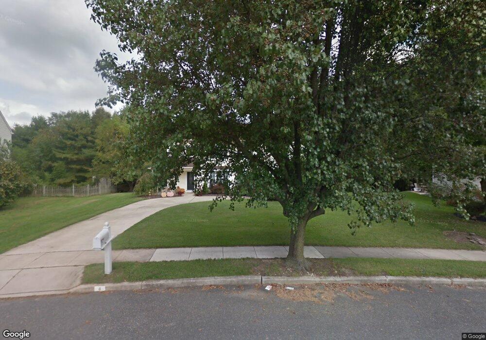
8 Brookview Dr Mantua, NJ 08051
Estimated Value: $363,783 - $409,000
Studio
--
Bath
1,552
Sq Ft
$254/Sq Ft
Est. Value
About This Home
This home is located at 8 Brookview Dr, Mantua, NJ 08051 and is currently estimated at $394,446, approximately $254 per square foot. 8 Brookview Dr is a home located in Gloucester County with nearby schools including Centre City School, J. Mason Tomlin Elementary School, and Clearview Regional Middle School.
Ownership History
Date
Name
Owned For
Owner Type
Purchase Details
Closed on
Aug 18, 1998
Sold by
Bradley John A and Bradley Andrea C
Bought by
Dalessio Robert L and Cleary Anne M
Current Estimated Value
Home Financials for this Owner
Home Financials are based on the most recent Mortgage that was taken out on this home.
Original Mortgage
$119,700
Outstanding Balance
$24,972
Interest Rate
6.92%
Estimated Equity
$369,474
Create a Home Valuation Report for This Property
The Home Valuation Report is an in-depth analysis detailing your home's value as well as a comparison with similar homes in the area
Home Values in the Area
Average Home Value in this Area
Purchase History
| Date | Buyer | Sale Price | Title Company |
|---|---|---|---|
| Dalessio Robert L | $126,000 | Old Republic Natl Title Ins |
Source: Public Records
Mortgage History
| Date | Status | Borrower | Loan Amount |
|---|---|---|---|
| Open | Dalessio Robert L | $119,700 |
Source: Public Records
Tax History
| Year | Tax Paid | Tax Assessment Tax Assessment Total Assessment is a certain percentage of the fair market value that is determined by local assessors to be the total taxable value of land and additions on the property. | Land | Improvement |
|---|---|---|---|---|
| 2025 | $7,519 | $292,000 | $110,700 | $181,300 |
| 2024 | $7,440 | $292,000 | $110,700 | $181,300 |
Source: Public Records
Map
Nearby Homes
- 8 Oakton Dr
- 284 Columbus Dr
- 485 Harrison Ave
- 204 W Landing Rd
- 36 Bluebird Rd
- 325 Bridgeton Pike
- 319 Bridgeton Pike
- 608 Main St
- 188 Mockingbird Ln
- 239 Tony Cir
- 155 Whippoorwill Way
- 203 Tony Cir Unit 203
- 241 Tony Cir Unit 241
- 606 Sangreal Ct Unit 505
- 153 Pendragon Way Unit 153
- 19 Marathon Dr
- 6 Marathon Dr
- 137 Pendragon Way
- 1215 Tristram Cir
- 1147 Tristram Cir Unit 1147
Your Personal Tour Guide
Ask me questions while you tour the home.