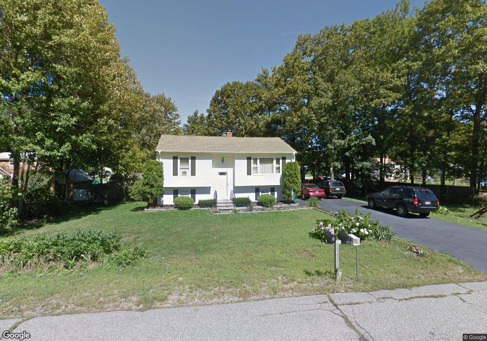
8 Brunelle Ave Sanford, ME 04073
South Sanford NeighborhoodEstimated Value: $324,643 - $349,000
2
Beds
1
Bath
959
Sq Ft
$352/Sq Ft
Est. Value
About This Home
This home is located at 8 Brunelle Ave, Sanford, ME 04073 and is currently estimated at $337,661, approximately $352 per square foot. 8 Brunelle Ave is a home located in York County.
Create a Home Valuation Report for This Property
The Home Valuation Report is an in-depth analysis detailing your home's value as well as a comparison with similar homes in the area
Home Values in the Area
Average Home Value in this Area
Tax History Compared to Growth
Tax History
| Year | Tax Paid | Tax Assessment Tax Assessment Total Assessment is a certain percentage of the fair market value that is determined by local assessors to be the total taxable value of land and additions on the property. | Land | Improvement |
|---|---|---|---|---|
| 2025 | $3,218 | $188,200 | $40,000 | $148,200 |
| 2024 | $3,038 | $188,200 | $40,000 | $148,200 |
| 2023 | $2,827 | $186,700 | $40,000 | $146,700 |
| 2022 | $2,763 | $186,700 | $40,000 | $146,700 |
| 2021 | $2,845 | $156,500 | $40,000 | $116,500 |
| 2020 | $2,792 | $138,500 | $40,000 | $98,500 |
| 2019 | $2,672 | $129,100 | $40,000 | $89,100 |
| 2018 | $2,581 | $125,900 | $40,000 | $85,900 |
| 2017 | $2,593 | $125,000 | $40,000 | $85,000 |
| 2016 | $2,608 | $114,700 | $40,000 | $74,700 |
| 2015 | $2,133 | $112,800 | $41,000 | $71,800 |
| 2014 | $2,093 | $112,800 | $41,000 | $71,800 |
| 2013 | -- | $112,900 | $41,000 | $71,900 |
Source: Public Records
Map
Nearby Homes
- 32 S Cotswold St
- 25 Brunell Ave
- 28 Brunelle Ave
- 245 Kennebunk Rd
- 56 Sam Allen Rd
- 49 Willow Dr
- Lot 4 Gatehouse Rd
- Lot 2 Gatehouse Rd
- Lot 3 Gatehouse Rd
- Lot 1 Gatehouse Rd
- 0 Airport Rd Unit 1634997
- 0 Airport Rd Unit 1624305
- 12 Marsh Brook Crossing
- 664 New Dam Rd
- 247 Sam Allen Rd
- 17 Airport Rd
- 93 Natanis Ridge Cir
- TBD Pheasant Ln
- 0 Pheasant Ln Unit 1633461
- 0 Pheasant Ln Unit 1611370