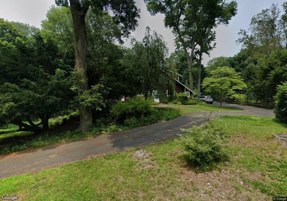
8 Cedar Gate Rd Darien, CT 06820
Estimated Value: $1,517,321 - $2,058,000
3
Beds
3
Baths
2,945
Sq Ft
$607/Sq Ft
Est. Value
About This Home
This home is located at 8 Cedar Gate Rd, Darien, CT 06820 and is currently estimated at $1,787,830, approximately $607 per square foot. 8 Cedar Gate Rd is a home located in Fairfield County with nearby schools including Tokeneke Elementary School, Middlesex Middle School, and Darien High School.
Ownership History
Date
Name
Owned For
Owner Type
Purchase Details
Closed on
Aug 26, 2021
Sold by
Joosten M D M and Joosten Eric H
Bought by
Joostern M D
Current Estimated Value
Purchase Details
Closed on
Mar 31, 1997
Sold by
France Howard J and France Bonnie L
Bought by
Joosten Eric H and Joosten Maria
Home Financials for this Owner
Home Financials are based on the most recent Mortgage that was taken out on this home.
Original Mortgage
$435,200
Interest Rate
6.25%
Mortgage Type
Unknown
Purchase Details
Closed on
Sep 14, 1987
Sold by
Shutts Albert
Bought by
France Howard
Create a Home Valuation Report for This Property
The Home Valuation Report is an in-depth analysis detailing your home's value as well as a comparison with similar homes in the area
Home Values in the Area
Average Home Value in this Area
Purchase History
| Date | Buyer | Sale Price | Title Company |
|---|---|---|---|
| Joostern M D | -- | None Available | |
| Joosten Eric H | $544,000 | -- | |
| France Howard | $500,000 | -- |
Source: Public Records
Mortgage History
| Date | Status | Borrower | Loan Amount |
|---|---|---|---|
| Previous Owner | France Howard | $380,000 | |
| Previous Owner | France Howard | $308,000 | |
| Previous Owner | France Howard | $330,000 | |
| Previous Owner | France Howard | $435,200 |
Source: Public Records
Tax History
| Year | Tax Paid | Tax Assessment Tax Assessment Total Assessment is a certain percentage of the fair market value that is determined by local assessors to be the total taxable value of land and additions on the property. | Land | Improvement |
|---|---|---|---|---|
| 2025 | $12,080 | $780,360 | $565,250 | $215,110 |
| 2024 | $11,463 | $780,360 | $565,250 | $215,110 |
| 2023 | $11,481 | $651,980 | $471,030 | $180,950 |
| 2022 | $11,234 | $651,980 | $471,030 | $180,950 |
| 2021 | $10,979 | $651,980 | $471,030 | $180,950 |
| 2020 | $10,666 | $651,980 | $471,030 | $180,950 |
| 2019 | $10,738 | $651,980 | $471,030 | $180,950 |
| 2018 | $10,672 | $663,670 | $440,020 | $223,650 |
| 2017 | $10,725 | $663,670 | $440,020 | $223,650 |
| 2016 | $10,466 | $663,670 | $440,020 | $223,650 |
| 2015 | $10,187 | $663,670 | $440,020 | $223,650 |
| 2014 | $9,962 | $663,670 | $440,020 | $223,650 |
Source: Public Records
Map
Nearby Homes
- 2 Settlers Trail Unit 2
- 44 Andrews Dr
- 18 Winding Ln
- 25 Lakeside Ave
- 10 Stony Brook Rd
- 7 Raiders Ln
- 10 Cross Rd
- 19 Circle Rd
- 18 Tokeneke Trail
- 14 5 Mile River Rd
- 16 Fairfield Ave
- 2 Red Rose Cir
- 171 Raymond St
- 90 5 Mile River Rd
- 5 Shields Ln
- 128 5 Mile River Rd
- 9 Point o Woods Rd S
- 26 Holly Ln
- 9 Arnold Ln
- 17 Contentment Island Rd
- 2 Cedar Gate Rd
- 20 Locust Hill Rd
- 12 Cedar Gate Rd
- 11 Rebel Ln
- 5 Rebel Ln
- 18 Locust Hill Rd
- 6 Rebel Ln
- 36 Locust Hill Rd
- 16 Locust Hill Rd
- 11 Delafield Island Rd
- 2 Rebel Ln
- 38 Locust Hill Rd
- 8 Delafield Island Rd
- 6 Locust Hill Rd
- 8101214 Locust Hill Rd
- 33 Locust Hill Rd
- 2 Settlers Trail Unit 6
- 2 Settlers Trail Unit 5
- 2 Settlers Trail Unit 4
- 2 Settlers Trail Unit 3
Your Personal Tour Guide
Ask me questions while you tour the home.