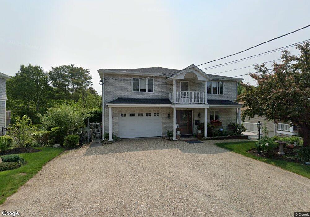
8 Connelly Ave Unit 1 Swampscott, MA 01907
Estimated Value: $921,000 - $1,078,000
2
Beds
1
Bath
1,200
Sq Ft
$847/Sq Ft
Est. Value
About This Home
This home is located at 8 Connelly Ave Unit 1, Swampscott, MA 01907 and is currently estimated at $1,016,410, approximately $847 per square foot. 8 Connelly Ave Unit 1 is a home located in Essex County with nearby schools including Swampscott Middle School, Swampscott High School, and St. Pius V. School.
Ownership History
Date
Name
Owned For
Owner Type
Purchase Details
Closed on
Sep 22, 2020
Sold by
Ribicandria Rosalie M
Bought by
Obrien James F and Obrien Julie A
Current Estimated Value
Purchase Details
Closed on
Aug 20, 2020
Sold by
Ribivandria Ft and Ribicandria
Bought by
Ribicandria Rosalie M
Purchase Details
Closed on
Feb 16, 2016
Sold by
Ribicandria Frederick P and Ribicandria Rosalie M
Bought by
Ribicandria Ft and Ribicandria
Create a Home Valuation Report for This Property
The Home Valuation Report is an in-depth analysis detailing your home's value as well as a comparison with similar homes in the area
Home Values in the Area
Average Home Value in this Area
Purchase History
| Date | Buyer | Sale Price | Title Company |
|---|---|---|---|
| Obrien James F | -- | None Available | |
| Obrien James F | -- | None Available | |
| Ribicandria Rosalie M | -- | None Available | |
| Ribicandria Rosalie M | -- | None Available | |
| Ribicandria Ft | -- | -- | |
| Ribicandria Ft | -- | -- |
Source: Public Records
Tax History Compared to Growth
Tax History
| Year | Tax Paid | Tax Assessment Tax Assessment Total Assessment is a certain percentage of the fair market value that is determined by local assessors to be the total taxable value of land and additions on the property. | Land | Improvement |
|---|---|---|---|---|
| 2025 | $10,443 | $910,500 | $414,600 | $495,900 |
| 2024 | $10,133 | $881,900 | $394,800 | $487,100 |
| 2023 | $9,738 | $829,500 | $394,800 | $434,700 |
| 2022 | $9,203 | $717,300 | $336,300 | $381,000 |
| 2021 | $8,047 | $583,100 | $263,200 | $319,900 |
| 2020 | $8,212 | $574,300 | $263,200 | $311,100 |
| 2019 | $8,286 | $545,100 | $234,000 | $311,100 |
| 2018 | $8,253 | $515,800 | $204,700 | $311,100 |
| 2017 | $8,831 | $506,100 | $190,100 | $316,000 |
| 2016 | $8,518 | $491,500 | $175,500 | $316,000 |
| 2015 | $8,429 | $491,500 | $175,500 | $316,000 |
| 2014 | $8,065 | $431,300 | $146,200 | $285,100 |
Source: Public Records
Map
Nearby Homes
- 150 Windsor Ave
- 9 Sampson Ave
- 44 Valley Rd
- 100 Burpee Rd
- 25 E Park Ave
- 44 Cherry St Unit 2
- 31 Madison St
- 91 Oakwood Ave
- 59 Essex St Unit 59B
- 29-31 Essex Ave Unit 2
- 76 Stetson Ave
- 6 Washburn St
- 106 Norfolk Ave
- 80 Norfolk Ave Unit 1
- 30 Clifton Ave
- 51 Barnstable St
- 605 Eastern Ave Unit 211
- 189 Burrill St Unit 2
- 32 Clarendon Ave
- 35 Columbia Ave