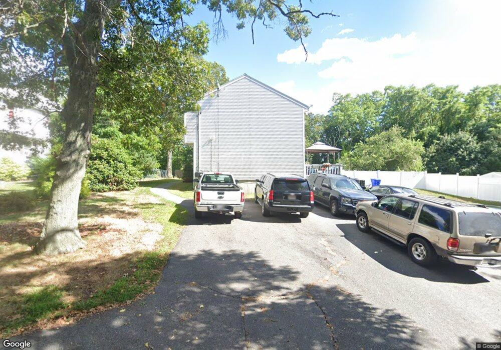
8 Cornell Ave Unit B Taunton, MA 02780
Estimated Value: $361,729 - $403,000
3
Beds
2
Baths
1,308
Sq Ft
$290/Sq Ft
Est. Value
About This Home
This home is located at 8 Cornell Ave Unit B, Taunton, MA 02780 and is currently estimated at $378,932, approximately $289 per square foot. 8 Cornell Ave Unit B is a home located in Bristol County with nearby schools including Edmund Hatch Bennett School, Taunton High School, and Joseph H. Martin.
Ownership History
Date
Name
Owned For
Owner Type
Purchase Details
Closed on
Dec 6, 2019
Sold by
Frangakis Konstantinos
Bought by
Alhajj Karine E
Current Estimated Value
Home Financials for this Owner
Home Financials are based on the most recent Mortgage that was taken out on this home.
Original Mortgage
$120,000
Outstanding Balance
$106,107
Interest Rate
3.75%
Mortgage Type
New Conventional
Estimated Equity
$272,825
Create a Home Valuation Report for This Property
The Home Valuation Report is an in-depth analysis detailing your home's value as well as a comparison with similar homes in the area
Home Values in the Area
Average Home Value in this Area
Purchase History
| Date | Buyer | Sale Price | Title Company |
|---|---|---|---|
| Alhajj Karine E | $150,000 | None Available |
Source: Public Records
Mortgage History
| Date | Status | Borrower | Loan Amount |
|---|---|---|---|
| Open | Alhajj Karine E | $120,000 |
Source: Public Records
Tax History
| Year | Tax Paid | Tax Assessment Tax Assessment Total Assessment is a certain percentage of the fair market value that is determined by local assessors to be the total taxable value of land and additions on the property. | Land | Improvement |
|---|---|---|---|---|
| 2025 | $2,691 | $246,000 | $0 | $246,000 |
| 2024 | $2,624 | $234,500 | $0 | $234,500 |
| 2023 | $2,678 | $222,200 | $0 | $222,200 |
| 2022 | $2,564 | $194,500 | $0 | $194,500 |
| 2021 | $2,785 | $196,100 | $0 | $196,100 |
| 2020 | $2,709 | $182,300 | $0 | $182,300 |
| 2019 | $2,873 | $182,300 | $0 | $182,300 |
| 2018 | $2,815 | $179,100 | $0 | $179,100 |
| 2017 | $2,580 | $164,200 | $0 | $164,200 |
| 2016 | $2,496 | $159,200 | $0 | $159,200 |
| 2015 | $2,279 | $151,800 | $0 | $151,800 |
| 2014 | $2,218 | $151,800 | $0 | $151,800 |
Source: Public Records
Map
Nearby Homes
- 6 Marvel St
- 322 Dighton Ave
- 90 E Water St
- 1524 Somerset Ave
- 6 Briggs St
- 21 Briggs St
- 6 Southeast St
- 56 Silver St
- 23 Couch St Unit RIGHT side
- 23 Couch St Unit LEFT side
- 11 Talbot Ave
- 24 1st St
- 81 Davenport Terrace
- 76 Plain St
- 252 Somerset Ave
- 248 Somerset Ave
- 171 Highland St Unit 204
- 6 W Weir St
- 11 Orchard St
- 321 Winthrop St Unit 111
- 8 Cornell Ave Unit A
- 8B Cornell Ave Unit 1
- 8B Cornell Ave
- 8B Cornell Ave Unit B
- 6 Cornell Ave
- 6 Cornell Ave Unit B
- 10 Rogers Ave Unit B
- 10 Rogers Ave Unit A
- 8 Rogers Ave
- 4 Cornell Ave
- 16 Cornell Ave
- 7 Cornell Ave
- 11 Cornell Ave
- 6 Rogers Ave
- 5 Cornell Ave
- 5 Greystone Ave
- 2 Cornell Ave
- 3 Cornell Ave
- 2 Rogers Ave
- 62 Baker Rd E