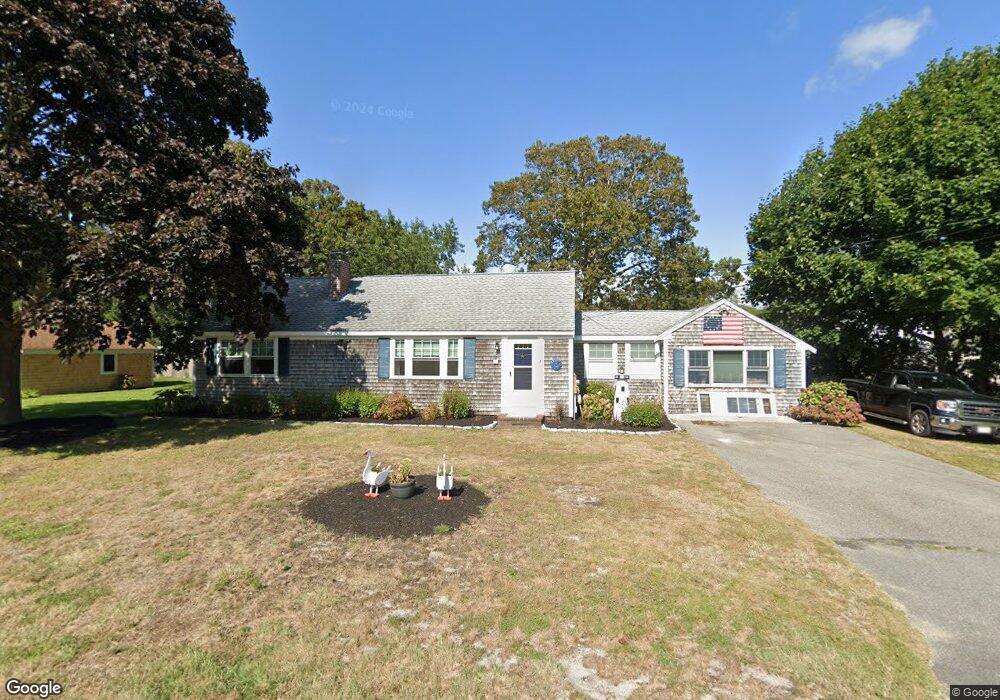
8 Craig Rd West Dennis, MA 02670
West Dennis NeighborhoodEstimated Value: $588,000 - $670,160
3
Beds
2
Baths
1,201
Sq Ft
$523/Sq Ft
Est. Value
About This Home
This home is located at 8 Craig Rd, West Dennis, MA 02670 and is currently estimated at $627,790, approximately $522 per square foot. 8 Craig Rd is a home located in Barnstable County with nearby schools including Dennis-Yarmouth Regional High School and St. Pius X. School.
Ownership History
Date
Name
Owned For
Owner Type
Purchase Details
Closed on
Jun 14, 2021
Sold by
Keaney Richard B and Keaney Karen
Bought by
Keaney Ret
Current Estimated Value
Purchase Details
Closed on
Jun 29, 2001
Sold by
Mchugh Wayne T and Mchugh Susan
Bought by
Keaney Richard Bp and Keaney Karen
Purchase Details
Closed on
Oct 7, 1998
Sold by
Moorman Jacquilane
Bought by
Mchugh Wayne T and Mchugh Susan
Home Financials for this Owner
Home Financials are based on the most recent Mortgage that was taken out on this home.
Original Mortgage
$70,000
Interest Rate
6.92%
Mortgage Type
Purchase Money Mortgage
Create a Home Valuation Report for This Property
The Home Valuation Report is an in-depth analysis detailing your home's value as well as a comparison with similar homes in the area
Home Values in the Area
Average Home Value in this Area
Purchase History
| Date | Buyer | Sale Price | Title Company |
|---|---|---|---|
| Keaney Ret | -- | None Available | |
| Keaney Richard Bp | $190,000 | -- | |
| Mchugh Wayne T | $108,000 | -- |
Source: Public Records
Mortgage History
| Date | Status | Borrower | Loan Amount |
|---|---|---|---|
| Previous Owner | Mchugh Wayne T | $70,000 |
Source: Public Records
Tax History Compared to Growth
Tax History
| Year | Tax Paid | Tax Assessment Tax Assessment Total Assessment is a certain percentage of the fair market value that is determined by local assessors to be the total taxable value of land and additions on the property. | Land | Improvement |
|---|---|---|---|---|
| 2025 | $2,764 | $638,400 | $224,100 | $414,300 |
| 2024 | $2,663 | $606,500 | $215,500 | $391,000 |
| 2023 | $2,576 | $551,500 | $195,900 | $355,600 |
| 2022 | $2,327 | $415,500 | $153,000 | $262,500 |
| 2021 | $2,232 | $370,100 | $149,900 | $220,200 |
| 2020 | $2,205 | $361,400 | $161,500 | $199,900 |
| 2019 | $2,144 | $347,500 | $169,600 | $177,900 |
| 2018 | $1,968 | $310,400 | $150,700 | $159,700 |
| 2017 | $1,878 | $305,300 | $150,700 | $154,600 |
| 2016 | $1,873 | $286,800 | $156,100 | $130,700 |
| 2015 | $1,836 | $286,800 | $156,100 | $130,700 |
| 2014 | $1,821 | $286,800 | $156,100 | $130,700 |
Source: Public Records
Map
Nearby Homes
- 61 Trotters Ln
- 15 Woodside Park Rd
- 467 Main St
- 401 Main St Unit 201
- 401 Main St Unit 101
- 12 Spoonbill Rd
- 80 Michaels Ave
- 3 Pinefield Ln
- 26 Center St
- 178 School St
- 23 Doric Ave
- 6 Baker Way
- 95 Center St
- 71 Main St
- 19 Standish Way
- 37 Ocean Dr Unit 2
- 4 Coffey Ln
- 14 Schoolhouse Ln
- 209 Main St Unit 3
- 209 Main St Unit 6