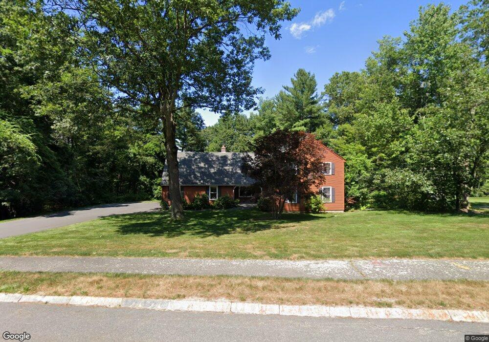
8 Crest Dr Westford, MA 01886
Estimated Value: $843,220 - $917,000
4
Beds
3
Baths
2,128
Sq Ft
$418/Sq Ft
Est. Value
About This Home
This home is located at 8 Crest Dr, Westford, MA 01886 and is currently estimated at $888,555, approximately $417 per square foot. 8 Crest Dr is a home located in Middlesex County with nearby schools including Abbot Elementary School, Nabnasset Elementary, and Stony Brook School.
Ownership History
Date
Name
Owned For
Owner Type
Purchase Details
Closed on
Nov 28, 2012
Sold by
Barbara Bernier Ft
Bought by
Burns Brian D and Burns David R
Current Estimated Value
Purchase Details
Closed on
Jul 12, 1985
Bought by
Burns David R and Burns Nancy
Create a Home Valuation Report for This Property
The Home Valuation Report is an in-depth analysis detailing your home's value as well as a comparison with similar homes in the area
Home Values in the Area
Average Home Value in this Area
Purchase History
| Date | Buyer | Sale Price | Title Company |
|---|---|---|---|
| Burns Brian D | $130,000 | -- | |
| Burns David R | $209,200 | -- |
Source: Public Records
Tax History
| Year | Tax Paid | Tax Assessment Tax Assessment Total Assessment is a certain percentage of the fair market value that is determined by local assessors to be the total taxable value of land and additions on the property. | Land | Improvement |
|---|---|---|---|---|
| 2025 | $10,074 | $747,900 | $354,700 | $393,200 |
| 2024 | $9,868 | $716,600 | $337,800 | $378,800 |
| 2023 | $9,846 | $667,100 | $321,700 | $345,400 |
| 2022 | $10,067 | $624,500 | $285,000 | $339,500 |
| 2021 | $9,556 | $574,300 | $285,000 | $289,300 |
| 2020 | $9,331 | $571,400 | $285,000 | $286,400 |
| 2019 | $9,148 | $552,400 | $285,000 | $267,400 |
| 2018 | $8,778 | $542,500 | $275,100 | $267,400 |
| 2017 | $8,648 | $527,000 | $275,100 | $251,900 |
| 2016 | $8,434 | $517,400 | $262,800 | $254,600 |
| 2015 | $8,312 | $511,800 | $254,600 | $257,200 |
| 2014 | $8,019 | $483,100 | $244,600 | $238,500 |
Source: Public Records
Map
Nearby Homes
- 4 Heywood Rd
- 5 Kirsi Cir
- 62 Main St
- 59 Main St
- 128 Main St Unit 1
- 8 Boston Rd
- 8 Bixby Ln
- 2 Lakeside Terrace
- 2 Lady Constance Way Unit 19
- 4 Lady Constance Way Unit 20
- 5 Clare Cir
- 11 River St
- 2 Wendell Place Unit 1
- 7 3rd St
- 112 Providence Rd
- 17 Maple St
- 12 Brookside Rd Unit 28
- 12 Moore Rd
- 6 Colonel Rolls Dr
- 12 Patten Rd
Your Personal Tour Guide
Ask me questions while you tour the home.