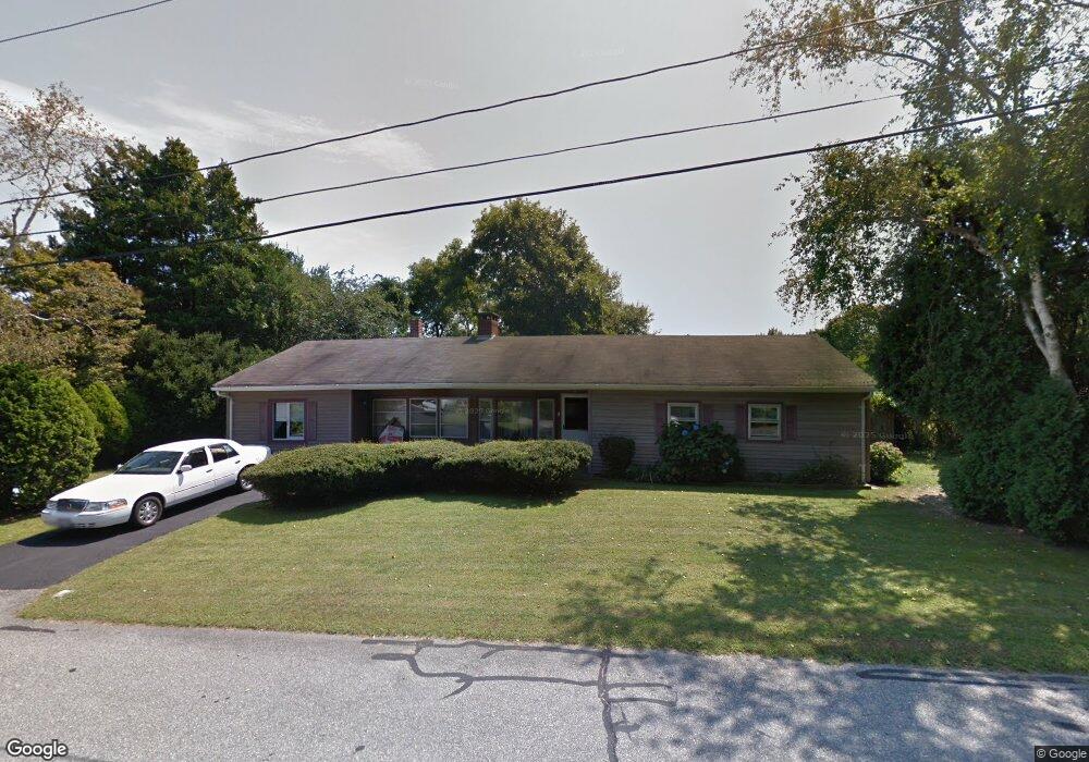
8 Cypress Dr North Dartmouth, MA 02747
Bliss Corner NeighborhoodEstimated Value: $483,000 - $615,000
3
Beds
2
Baths
1,720
Sq Ft
$310/Sq Ft
Est. Value
About This Home
This home is located at 8 Cypress Dr, North Dartmouth, MA 02747 and is currently estimated at $533,937, approximately $310 per square foot. 8 Cypress Dr is a home located in Bristol County with nearby schools including Dartmouth High School, Friends Academy, and Our Sister's School.
Ownership History
Date
Name
Owned For
Owner Type
Purchase Details
Closed on
Jul 20, 1993
Sold by
Citicorp Mtg Inc
Bought by
Baptiste Robin L
Current Estimated Value
Home Financials for this Owner
Home Financials are based on the most recent Mortgage that was taken out on this home.
Original Mortgage
$68,000
Interest Rate
7.4%
Mortgage Type
Purchase Money Mortgage
Purchase Details
Closed on
Oct 22, 1992
Sold by
Mak Yin Kai
Bought by
Citicorp Mtg Inc
Purchase Details
Closed on
Jan 17, 1992
Sold by
Medeiros Brian
Bought by
Citicorp Mtg Inc
Purchase Details
Closed on
Jan 17, 1989
Sold by
Moran Susan
Bought by
Mak Yin Kai
Home Financials for this Owner
Home Financials are based on the most recent Mortgage that was taken out on this home.
Original Mortgage
$105,000
Interest Rate
10.39%
Mortgage Type
Purchase Money Mortgage
Create a Home Valuation Report for This Property
The Home Valuation Report is an in-depth analysis detailing your home's value as well as a comparison with similar homes in the area
Home Values in the Area
Average Home Value in this Area
Purchase History
| Date | Buyer | Sale Price | Title Company |
|---|---|---|---|
| Baptiste Robin L | $85,000 | -- | |
| Citicorp Mtg Inc | $78,200 | -- | |
| Citicorp Mtg Inc | $71,263 | -- | |
| Mak Yin Kai | $140,000 | -- |
Source: Public Records
Mortgage History
| Date | Status | Borrower | Loan Amount |
|---|---|---|---|
| Open | Mak Yin Kai | $136,500 | |
| Closed | Mak Yin Kai | $68,000 | |
| Previous Owner | Mak Yin Kai | $105,000 |
Source: Public Records
Tax History Compared to Growth
Tax History
| Year | Tax Paid | Tax Assessment Tax Assessment Total Assessment is a certain percentage of the fair market value that is determined by local assessors to be the total taxable value of land and additions on the property. | Land | Improvement |
|---|---|---|---|---|
| 2025 | $3,391 | $393,800 | $165,000 | $228,800 |
| 2024 | $3,237 | $372,500 | $152,600 | $219,900 |
| 2023 | $3,180 | $346,800 | $147,700 | $199,100 |
| 2022 | $3,113 | $314,400 | $147,700 | $166,700 |
| 2021 | $2,885 | $278,500 | $137,400 | $141,100 |
| 2020 | $2,758 | $265,700 | $130,300 | $135,400 |
| 2019 | $2,686 | $258,300 | $124,300 | $134,000 |
| 2018 | $2,583 | $255,600 | $136,200 | $119,400 |
| 2017 | $2,467 | $246,200 | $128,500 | $117,700 |
| 2016 | $2,373 | $233,600 | $122,800 | $110,800 |
| 2015 | $2,304 | $227,200 | $114,800 | $112,400 |
| 2014 | $2,247 | $220,100 | $109,800 | $110,300 |
Source: Public Records
Map
Nearby Homes
- 33 Rosewood Terrace
- 29 Elizabeth Ct
- 6 Jacob Dr
- 25 Westwood Dr
- 6 Walters Way
- 5 Samosett Dr
- 98 Mccabe St
- 3 Mishawum Dr
- 44 Arrowhead Ln
- 212 Rockland St
- 0 Victoria St Unit 73457953
- 360 Russells Mills Rd
- 32 Fulton St
- 729 Allen St
- 21 Avis St
- 49 Stackhouse St
- 1 Walter St
- 511 Bedford St
- 48 Stephen St
- 15 Puritan St