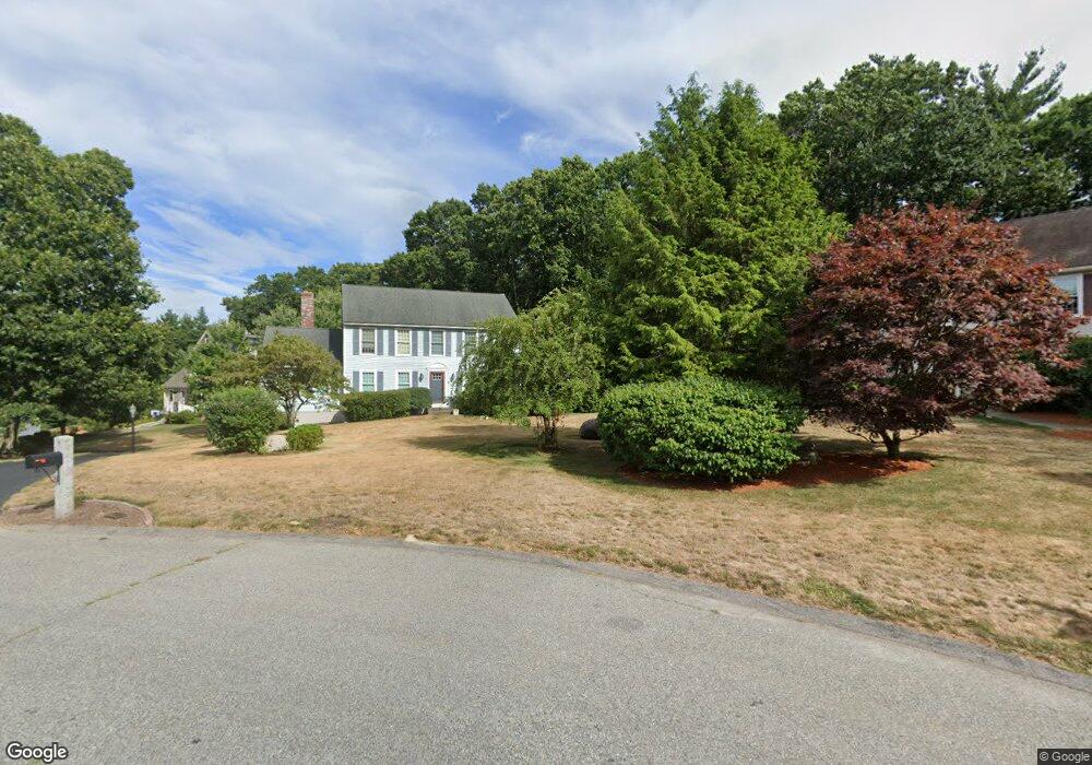
8 Daniels Rd Medway, MA 02053
Estimated Value: $776,978 - $938,000
4
Beds
3
Baths
2,328
Sq Ft
$372/Sq Ft
Est. Value
About This Home
This home is located at 8 Daniels Rd, Medway, MA 02053 and is currently estimated at $866,745, approximately $372 per square foot. 8 Daniels Rd is a home located in Norfolk County with nearby schools including John D. McGovern Elementary School, Burke-Memorial Elementary, and Medway Middle School.
Ownership History
Date
Name
Owned For
Owner Type
Purchase Details
Closed on
Jul 31, 1998
Sold by
Hamblin John L and Hamblin Rosanne
Bought by
Elton Timothy S and Elton Fyllis S
Current Estimated Value
Home Financials for this Owner
Home Financials are based on the most recent Mortgage that was taken out on this home.
Original Mortgage
$258,875
Interest Rate
6.92%
Mortgage Type
Purchase Money Mortgage
Create a Home Valuation Report for This Property
The Home Valuation Report is an in-depth analysis detailing your home's value as well as a comparison with similar homes in the area
Home Values in the Area
Average Home Value in this Area
Purchase History
| Date | Buyer | Sale Price | Title Company |
|---|---|---|---|
| Elton Timothy S | $272,500 | -- |
Source: Public Records
Mortgage History
| Date | Status | Borrower | Loan Amount |
|---|---|---|---|
| Open | Elton Timothy S | $221,000 | |
| Closed | Elton Timothy S | $244,000 | |
| Closed | Elton Timothy S | $258,875 |
Source: Public Records
Tax History Compared to Growth
Tax History
| Year | Tax Paid | Tax Assessment Tax Assessment Total Assessment is a certain percentage of the fair market value that is determined by local assessors to be the total taxable value of land and additions on the property. | Land | Improvement |
|---|---|---|---|---|
| 2025 | $9,680 | $679,300 | $335,300 | $344,000 |
| 2024 | $9,782 | $679,300 | $335,300 | $344,000 |
| 2023 | $9,637 | $604,600 | $305,200 | $299,400 |
| 2022 | $8,590 | $507,400 | $225,700 | $281,700 |
| 2021 | $8,512 | $487,500 | $210,600 | $276,900 |
| 2020 | $8,276 | $472,900 | $210,600 | $262,300 |
| 2019 | $7,806 | $460,000 | $202,100 | $257,900 |
| 2018 | $7,857 | $444,900 | $193,500 | $251,400 |
| 2017 | $7,747 | $432,300 | $189,200 | $243,100 |
| 2016 | $7,555 | $417,200 | $174,100 | $243,100 |
| 2015 | $6,822 | $374,000 | $172,000 | $202,000 |
| 2014 | $6,637 | $352,300 | $172,000 | $180,300 |
Source: Public Records
Map
Nearby Homes
- 176 Main St Unit 3
- 6 Freedom Trail
- 5 Fales St
- 220 Main St Unit 220
- 28 Wellington St
- 14 Heritage Dr
- 280 Village St Unit D2
- 4 Shaw St
- 21 Riverside Rd
- 39 West St
- 22 Sunset Dr
- 12 Longmeadow Ln
- 36 Lovering St
- 15 Broad Acres Farm Rd
- 462 Hartford Ave
- 12 Lovering St
- 18 Mary Anne Dr
- 455 Hartford Ave
- 3 Meryl St
- 4 Deerfield Rd