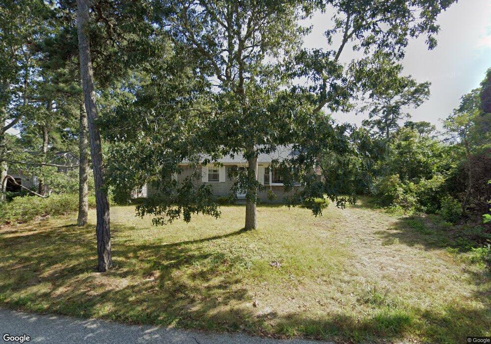
8 Dartmouth Rd West Dennis, MA 02670
West Dennis NeighborhoodEstimated Value: $527,000 - $679,000
3
Beds
1
Bath
1,008
Sq Ft
$605/Sq Ft
Est. Value
About This Home
This home is located at 8 Dartmouth Rd, West Dennis, MA 02670 and is currently estimated at $610,342, approximately $605 per square foot. 8 Dartmouth Rd is a home located in Barnstable County with nearby schools including Dennis-Yarmouth Regional High School and St. Pius X. School.
Ownership History
Date
Name
Owned For
Owner Type
Purchase Details
Closed on
Aug 26, 2022
Sold by
Demus Arnold W and Demus Eleanor J
Bought by
Demus Rt
Current Estimated Value
Purchase Details
Closed on
Mar 10, 2008
Sold by
Francis and Francis Jean Johnson
Bought by
Padden Betty J and Messier Christine A
Purchase Details
Closed on
Jun 25, 1969
Bought by
Demus Arnold W and Demus Eleanor J
Create a Home Valuation Report for This Property
The Home Valuation Report is an in-depth analysis detailing your home's value as well as a comparison with similar homes in the area
Home Values in the Area
Average Home Value in this Area
Purchase History
| Date | Buyer | Sale Price | Title Company |
|---|---|---|---|
| Demus Rt | -- | None Available | |
| Padden Betty J | -- | -- | |
| Demus Arnold W | -- | -- |
Source: Public Records
Mortgage History
| Date | Status | Borrower | Loan Amount |
|---|---|---|---|
| Previous Owner | Demus Arnold W | $75,000 |
Source: Public Records
Tax History Compared to Growth
Tax History
| Year | Tax Paid | Tax Assessment Tax Assessment Total Assessment is a certain percentage of the fair market value that is determined by local assessors to be the total taxable value of land and additions on the property. | Land | Improvement |
|---|---|---|---|---|
| 2025 | $2,315 | $534,600 | $227,800 | $306,800 |
| 2024 | $2,185 | $497,700 | $219,100 | $278,600 |
| 2023 | $2,113 | $452,500 | $199,200 | $253,300 |
| 2022 | $1,921 | $343,100 | $155,500 | $187,600 |
| 2021 | $1,854 | $307,400 | $152,400 | $155,000 |
| 2020 | $1,859 | $304,700 | $164,200 | $140,500 |
| 2019 | $1,857 | $300,900 | $172,500 | $128,400 |
| 2018 | $1,712 | $270,000 | $153,200 | $116,800 |
| 2017 | $1,637 | $266,200 | $153,200 | $113,000 |
| 2016 | $1,652 | $253,000 | $158,700 | $94,300 |
| 2015 | $1,619 | $253,000 | $158,700 | $94,300 |
| 2014 | $1,607 | $253,000 | $158,700 | $94,300 |
Source: Public Records
Map
Nearby Homes
- 15 Woodside Park Rd
- 12 Spoonbill Rd
- 26 Center St
- 3 Pinefield Ln
- 71 Main St
- 95 Center St
- 61 Trotters Ln
- 80 Michaels Ave
- 19 Standish Way
- 4 Coffey Ln
- 125 Main St Unit 3
- 467 Main St
- 22 Wixon Rd
- 31 Easy St
- 72 Bassett Ln
- 268 Main St
- 401 Main St Unit 201
- 401 Main St Unit 101
- 37 Ocean Dr Unit 2
- 20 Aunt Debbys Rd