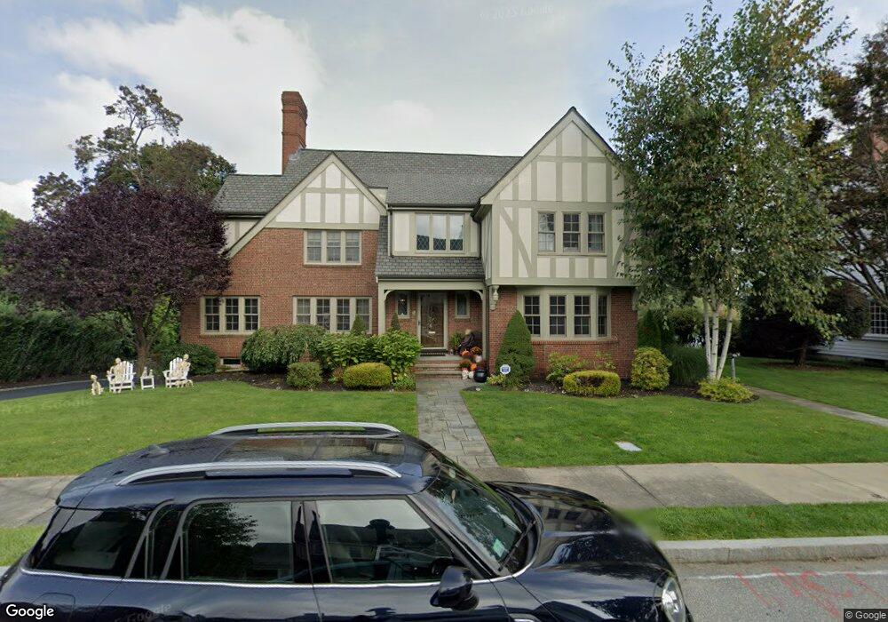
8 Dartmouth St Winchester, MA 01890
The Flats NeighborhoodEstimated Value: $2,897,000 - $3,347,000
4
Beds
5
Baths
4,022
Sq Ft
$766/Sq Ft
Est. Value
About This Home
This home is located at 8 Dartmouth St, Winchester, MA 01890 and is currently estimated at $3,082,731, approximately $766 per square foot. 8 Dartmouth St is a home located in Middlesex County with nearby schools including Vinson-Owen Elementary School, McCall Middle School, and Winchester High School.
Ownership History
Date
Name
Owned For
Owner Type
Purchase Details
Closed on
May 3, 2010
Sold by
Burke Linda A Est
Bought by
Kuhlman Steven L and Kuhlman Rebecca B
Current Estimated Value
Home Financials for this Owner
Home Financials are based on the most recent Mortgage that was taken out on this home.
Original Mortgage
$600,000
Outstanding Balance
$397,866
Interest Rate
4.99%
Mortgage Type
Purchase Money Mortgage
Estimated Equity
$2,684,865
Purchase Details
Closed on
Apr 18, 1989
Sold by
Ltic Rt
Bought by
Burke Linda A
Create a Home Valuation Report for This Property
The Home Valuation Report is an in-depth analysis detailing your home's value as well as a comparison with similar homes in the area
Home Values in the Area
Average Home Value in this Area
Purchase History
| Date | Buyer | Sale Price | Title Company |
|---|---|---|---|
| Kuhlman Steven L | $1,300,000 | -- | |
| Miller David A | -- | -- | |
| Burke Linda A | $560,000 | -- |
Source: Public Records
Mortgage History
| Date | Status | Borrower | Loan Amount |
|---|---|---|---|
| Open | Burke Linda A | $250,000 | |
| Open | Kuhlman Steven L | $600,000 | |
| Previous Owner | Burke Linda A | $450,000 | |
| Previous Owner | Burke Linda A | $390,000 |
Source: Public Records
Tax History Compared to Growth
Tax History
| Year | Tax Paid | Tax Assessment Tax Assessment Total Assessment is a certain percentage of the fair market value that is determined by local assessors to be the total taxable value of land and additions on the property. | Land | Improvement |
|---|---|---|---|---|
| 2025 | $343 | $3,088,600 | $1,526,000 | $1,562,600 |
| 2024 | $33,780 | $2,981,500 | $1,481,100 | $1,500,400 |
| 2023 | $30,903 | $2,618,900 | $1,391,300 | $1,227,600 |
| 2022 | $30,195 | $2,413,700 | $1,206,400 | $1,207,300 |
| 2021 | $10,968 | $2,262,900 | $1,055,600 | $1,207,300 |
| 2020 | $10,530 | $2,262,900 | $1,055,600 | $1,207,300 |
| 2019 | $25,839 | $2,133,700 | $926,400 | $1,207,300 |
| 2018 | $25,381 | $2,082,100 | $904,800 | $1,177,300 |
| 2017 | $24,787 | $2,018,500 | $860,600 | $1,157,900 |
| 2016 | $23,146 | $1,981,700 | $860,600 | $1,121,100 |
| 2015 | $22,807 | $1,878,700 | $782,000 | $1,096,700 |
| 2014 | $23,082 | $1,823,200 | $710,900 | $1,112,300 |
Source: Public Records
Map
Nearby Homes
- 89 Wildwood St
- 44 Cabot St
- 32 Woodside Rd
- 9 Norfolk Rd
- 6 Ivy Cir
- 1 Copley St
- 15 Wildwood St
- 149 Horn Pond Brook Rd
- 104 Church St
- 6 Wyman Ct Unit 6
- 4 Wyman Ct Unit 4
- 7 Wainwright Rd Unit 118
- 10 Sheffield Rd
- 19 Glengarry Rd
- 62 Richardson St
- 269 Cambridge Rd Unit 203
- 273 Cambridge Rd Unit 202
- 2 Everett Ave
- 46 Church St
- 666 Main St Unit 312