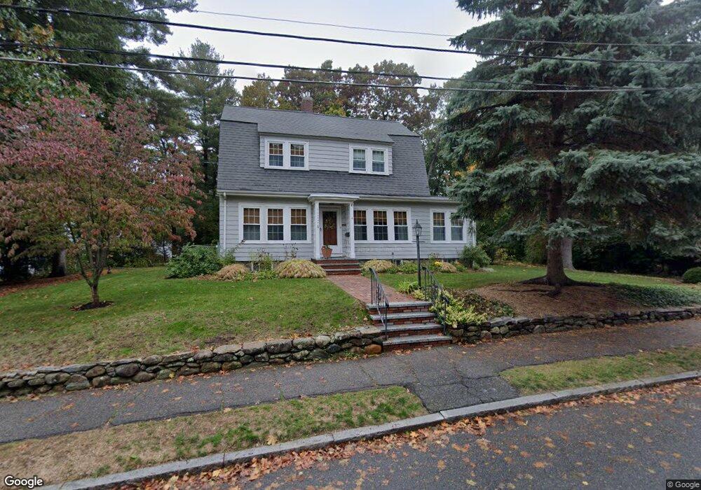
8 Davidson Rd Wakefield, MA 01880
West Side NeighborhoodEstimated Value: $849,000 - $949,000
3
Beds
2
Baths
1,854
Sq Ft
$483/Sq Ft
Est. Value
About This Home
This home is located at 8 Davidson Rd, Wakefield, MA 01880 and is currently estimated at $894,814, approximately $482 per square foot. 8 Davidson Rd is a home located in Middlesex County with nearby schools including Wakefield Memorial High School, St Joseph School, and St. Patrick Elementary School.
Ownership History
Date
Name
Owned For
Owner Type
Purchase Details
Closed on
Jun 14, 2016
Sold by
Butler John T and Theroux Mary C
Bought by
Butler & Theroux Ft
Current Estimated Value
Purchase Details
Closed on
Oct 10, 2003
Sold by
Beyer Ft
Bought by
Theroux Mary C and Butler John T
Create a Home Valuation Report for This Property
The Home Valuation Report is an in-depth analysis detailing your home's value as well as a comparison with similar homes in the area
Home Values in the Area
Average Home Value in this Area
Purchase History
| Date | Buyer | Sale Price | Title Company |
|---|---|---|---|
| Butler & Theroux Ft | -- | -- | |
| Butler & Theroux Ft | -- | -- | |
| Theroux Mary C | $8,000 | -- |
Source: Public Records
Tax History
| Year | Tax Paid | Tax Assessment Tax Assessment Total Assessment is a certain percentage of the fair market value that is determined by local assessors to be the total taxable value of land and additions on the property. | Land | Improvement |
|---|---|---|---|---|
| 2025 | $9,366 | $825,200 | $399,200 | $426,000 |
| 2024 | $9,009 | $800,800 | $387,400 | $413,400 |
| 2023 | $8,698 | $741,500 | $358,700 | $382,800 |
| 2022 | $8,306 | $674,200 | $326,100 | $348,100 |
| 2021 | $7,597 | $596,800 | $303,000 | $293,800 |
| 2020 | $7,307 | $572,200 | $290,500 | $281,700 |
| 2019 | $7,089 | $552,500 | $280,500 | $272,000 |
| 2018 | $6,707 | $517,900 | $262,900 | $255,000 |
| 2017 | $6,426 | $493,200 | $250,400 | $242,800 |
| 2016 | $6,347 | $470,500 | $231,500 | $239,000 |
| 2015 | $5,929 | $439,800 | $216,400 | $223,400 |
| 2014 | $5,446 | $426,100 | $209,600 | $216,500 |
Source: Public Records
Map
Nearby Homes
- 95 Prospect St
- 4 Adams St
- 80 Redfield Rd
- 2 Summit Dr Unit 43
- 1 Summit Dr Unit 57
- 311 Gazebo Cir Unit 311
- 403 Gazebo Cir
- 1014 Gazebo Cir Unit 1014
- 248 Albion St Unit 231
- 248 Albion St Unit 321
- 55 Bartley St
- 62 Foundry St Unit 204
- 62 Foundry St Unit 402
- 62 Foundry St Unit 414
- 62 Foundry St Unit 210
- 69 Foundry St Unit 310
- 69 Foundry St Unit 416
- 64 Main St Unit 24B
- 12 Isola Ln
- 66 Main St Unit 15A
Your Personal Tour Guide
Ask me questions while you tour the home.