8 Dell St Randolph, MA 02368
North Randolph NeighborhoodEstimated Value: $666,000 - $995,000
3
Beds
3
Baths
2,390
Sq Ft
$346/Sq Ft
Est. Value
About This Home
This home is located at 8 Dell St, Randolph, MA 02368 and is currently estimated at $826,359, approximately $345 per square foot. 8 Dell St is a home located in Norfolk County with nearby schools including Randolph High School and Lighthouse Baptist Christian Academy.
Create a Home Valuation Report for This Property
The Home Valuation Report is an in-depth analysis detailing your home's value as well as a comparison with similar homes in the area
Home Values in the Area
Average Home Value in this Area
Tax History
| Year | Tax Paid | Tax Assessment Tax Assessment Total Assessment is a certain percentage of the fair market value that is determined by local assessors to be the total taxable value of land and additions on the property. | Land | Improvement |
|---|---|---|---|---|
| 2025 | $9,684 | $834,100 | $268,200 | $565,900 |
| 2024 | $8,926 | $779,600 | $263,200 | $516,400 |
| 2023 | $8,672 | $717,900 | $239,200 | $478,700 |
| 2022 | $8,583 | $631,100 | $199,500 | $431,600 |
| 2021 | $9,158 | $619,600 | $166,900 | $452,700 |
| 2020 | $9,109 | $610,900 | $166,900 | $444,000 |
| 2019 | $8,756 | $584,500 | $159,100 | $425,400 |
| 2018 | $8,528 | $537,000 | $145,100 | $391,900 |
| 2017 | $7,391 | $456,800 | $138,300 | $318,500 |
| 2016 | $7,441 | $427,900 | $125,800 | $302,100 |
| 2015 | $7,231 | $399,500 | $120,000 | $279,500 |
Source: Public Records
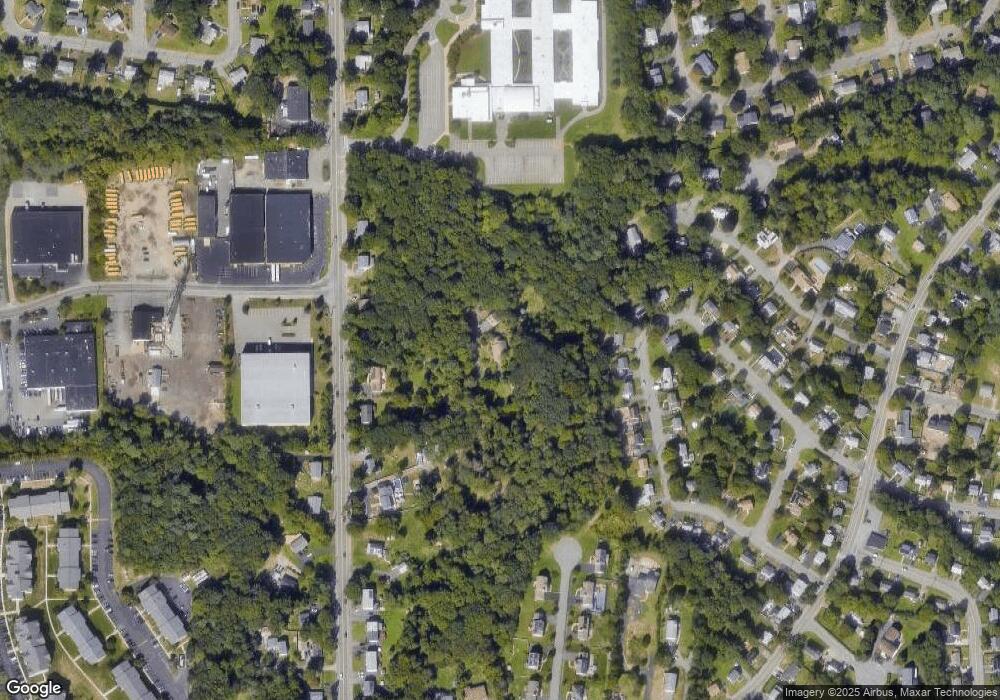
Map
Nearby Homes
- 195 High St
- 51 Himoor Cir
- 10 Michael Rd
- 72 Canton St
- 4 Franklin Square Unit 4F
- 79 Gold St
- 43 Emily Jeffers Rd
- 232 Canton St Unit 308
- 232 Canton St Unit 104
- 902 Irving Rd Unit 902
- 875 N Main St
- 20 Simmonds Blvd Unit 20
- 18 Simmonds Blvd Unit 18
- 8 Simmonds Blvd Unit 8
- 22 Simmonds Blvd Unit 22
- 10 Simmonds Blvd Unit 10
- 24 Simmonds Blvd Unit 24
- 6 Simmonds Blvd Unit 6
- 23 Old St
- 9 Royal Crest Dr Unit 12
Your Personal Tour Guide
Ask me questions while you tour the home.