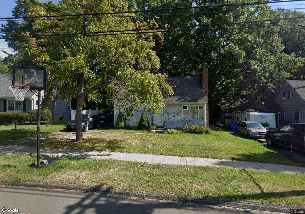
8 Dwight Rd West Hartford, CT 06110
Estimated Value: $319,000 - $369,000
3
Beds
2
Baths
1,408
Sq Ft
$243/Sq Ft
Est. Value
About This Home
This home is located at 8 Dwight Rd, West Hartford, CT 06110 and is currently estimated at $342,160, approximately $243 per square foot. 8 Dwight Rd is a home located in Hartford County with nearby schools including Webster Hill School, Sedgwick Middle School, and Conard High School.
Ownership History
Date
Name
Owned For
Owner Type
Purchase Details
Closed on
Nov 16, 2005
Sold by
Peling Colleen M
Bought by
Vance Richard W
Current Estimated Value
Home Financials for this Owner
Home Financials are based on the most recent Mortgage that was taken out on this home.
Original Mortgage
$189,400
Outstanding Balance
$103,966
Interest Rate
6.07%
Mortgage Type
VA
Estimated Equity
$238,194
Purchase Details
Closed on
Nov 19, 1990
Sold by
Tackus John
Bought by
Saunders Thomas
Home Financials for this Owner
Home Financials are based on the most recent Mortgage that was taken out on this home.
Original Mortgage
$117,000
Interest Rate
10.03%
Create a Home Valuation Report for This Property
The Home Valuation Report is an in-depth analysis detailing your home's value as well as a comparison with similar homes in the area
Home Values in the Area
Average Home Value in this Area
Purchase History
| Date | Buyer | Sale Price | Title Company |
|---|---|---|---|
| Vance Richard W | $189,400 | -- | |
| Saunders Thomas | $130,000 | -- |
Source: Public Records
Mortgage History
| Date | Status | Borrower | Loan Amount |
|---|---|---|---|
| Open | Saunders Thomas | $189,400 | |
| Previous Owner | Saunders Thomas | $116,500 | |
| Previous Owner | Saunders Thomas | $117,000 |
Source: Public Records
Tax History Compared to Growth
Tax History
| Year | Tax Paid | Tax Assessment Tax Assessment Total Assessment is a certain percentage of the fair market value that is determined by local assessors to be the total taxable value of land and additions on the property. | Land | Improvement |
|---|---|---|---|---|
| 2025 | $5,608 | $125,230 | $48,370 | $76,860 |
| 2024 | $5,303 | $125,230 | $48,370 | $76,860 |
| 2023 | $5,124 | $125,230 | $48,370 | $76,860 |
| 2022 | $5,094 | $125,230 | $48,370 | $76,860 |
| 2021 | $5,176 | $122,010 | $43,960 | $78,050 |
| 2020 | $4,512 | $107,940 | $34,020 | $73,920 |
| 2019 | $4,512 | $107,940 | $34,020 | $73,920 |
| 2018 | $4,426 | $107,940 | $34,020 | $73,920 |
| 2017 | $4,430 | $107,940 | $34,020 | $73,920 |
| 2016 | $5,180 | $131,110 | $50,330 | $80,780 |
| 2015 | $5,023 | $131,110 | $50,330 | $80,780 |
| 2014 | $4,900 | $131,110 | $50,330 | $80,780 |
Source: Public Records
Map
Nearby Homes
- 741 Quaker Ln S
- 17 Parkview Rd
- 394 Trout Brook Dr
- 204 Trout Brook Dr
- 90 Park Place Cir Unit 90
- 49 Park Place Cir Unit 49
- 96 Bentwood Rd
- 39 Cortland St
- 1145 New Britain Ave
- 422 S Main St
- 101 Englewood Ave
- 49 Somerset St
- 61 Colonial St
- 61 Woodmere Rd
- 18 Federal St
- 69 Saint Augustine St
- 123 Grove St
- 108 Newington Rd
- 107 Westgate St
- 26 Saint Augustine St