8 Eagle Ln Paxton, MA 01612
Estimated Value: $451,504 - $635,000
2
Beds
3
Baths
1,506
Sq Ft
$342/Sq Ft
Est. Value
About This Home
This home is located at 8 Eagle Ln, Paxton, MA 01612 and is currently estimated at $514,876, approximately $341 per square foot. 8 Eagle Ln is a home located in Worcester County with nearby schools including Wachusett Regional High School and Worcester Seventh-Day Adventist School.
Ownership History
Date
Name
Owned For
Owner Type
Purchase Details
Closed on
Nov 5, 2015
Sold by
Leroux Marguerite M
Bought by
8 Eagle Land Nt and Leroux Marguerite M
Current Estimated Value
Purchase Details
Closed on
May 18, 1992
Sold by
Voelkel Theodore
Bought by
Burke John E
Home Financials for this Owner
Home Financials are based on the most recent Mortgage that was taken out on this home.
Original Mortgage
$116,000
Interest Rate
8.89%
Mortgage Type
Purchase Money Mortgage
Create a Home Valuation Report for This Property
The Home Valuation Report is an in-depth analysis detailing your home's value as well as a comparison with similar homes in the area
Home Values in the Area
Average Home Value in this Area
Purchase History
| Date | Buyer | Sale Price | Title Company |
|---|---|---|---|
| 8 Eagle Land Nt | -- | -- | |
| Burke John E | $145,000 | -- |
Source: Public Records
Mortgage History
| Date | Status | Borrower | Loan Amount |
|---|---|---|---|
| Previous Owner | Burke John E | $40,000 | |
| Previous Owner | Burke John E | $13,550 | |
| Previous Owner | Burke John E | $116,000 |
Source: Public Records
Tax History
| Year | Tax Paid | Tax Assessment Tax Assessment Total Assessment is a certain percentage of the fair market value that is determined by local assessors to be the total taxable value of land and additions on the property. | Land | Improvement |
|---|---|---|---|---|
| 2025 | $6,434 | $436,500 | $116,000 | $320,500 |
| 2024 | $6,449 | $401,300 | $116,000 | $285,300 |
| 2023 | $6,503 | $369,900 | $105,800 | $264,100 |
| 2022 | $6,332 | $333,600 | $105,800 | $227,800 |
| 2021 | $4,128 | $304,100 | $96,800 | $207,300 |
| 2020 | $5,834 | $295,700 | $88,400 | $207,300 |
| 2019 | $5,683 | $287,900 | $80,600 | $207,300 |
| 2018 | $3,580 | $278,900 | $77,600 | $201,300 |
| 2017 | $5,493 | $269,400 | $73,800 | $195,600 |
| 2016 | $4,703 | $228,400 | $73,800 | $154,600 |
| 2015 | $4,557 | $219,200 | $73,800 | $145,400 |
| 2014 | $4,432 | $216,100 | $74,100 | $142,000 |
Source: Public Records
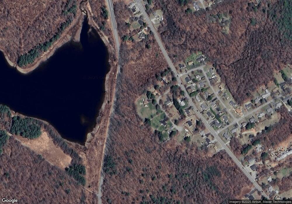
Map
Nearby Homes
- 17 Walbridge Rd
- 620 Pleasant St
- 2 Hemlock St
- 8 Hemlock St
- 29 Scenic Dr
- 19 Assabet Ln
- 121 Bailey St Unit D31
- 58 Wedgewood Rd
- 41 Hill St
- 10 Edwidge St
- 230 West St
- 21 Baxter St
- 289 Richards Ave
- 9 Newburn Rd
- 70 Moreland Green Dr
- 148A Tory Fort Ln
- 288 Fisher Rd
- 5 Chartwell Ln Unit 87
- 11 Brigham Rd
- 10 Baiting Brook Ln Unit 67
Your Personal Tour Guide
Ask me questions while you tour the home.