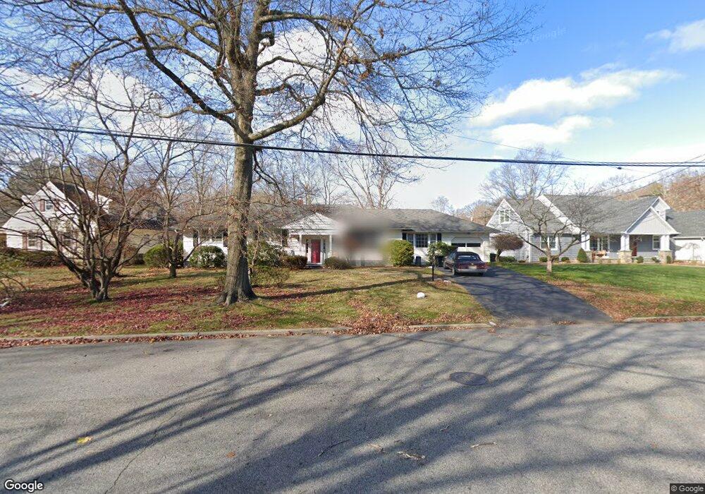
8 Elray Rd Unit 2266774-2518 Morris Plains, NJ 07950
Estimated Value: $675,000 - $745,000
--
Bed
4
Baths
1,746
Sq Ft
$398/Sq Ft
Est. Value
About This Home
This home is located at 8 Elray Rd Unit 2266774-2518, Morris Plains, NJ 07950 and is currently estimated at $695,199, approximately $398 per square foot. 8 Elray Rd Unit 2266774-2518 is a home located in Morris County with nearby schools including Littleton Elementary School, Brooklawn Middle School, and Parsippany Hills High School.
Ownership History
Date
Name
Owned For
Owner Type
Purchase Details
Closed on
Jun 7, 2023
Sold by
Pierro David M
Bought by
Parmar Khusbhu and Parmar Ridham
Current Estimated Value
Home Financials for this Owner
Home Financials are based on the most recent Mortgage that was taken out on this home.
Original Mortgage
$498,600
Interest Rate
6.67%
Mortgage Type
New Conventional
Purchase Details
Closed on
Feb 11, 2009
Sold by
Pierro David M
Bought by
Pierro David M
Create a Home Valuation Report for This Property
The Home Valuation Report is an in-depth analysis detailing your home's value as well as a comparison with similar homes in the area
Home Values in the Area
Average Home Value in this Area
Purchase History
| Date | Buyer | Sale Price | Title Company |
|---|---|---|---|
| Parmar Khusbhu | $554,000 | Realsafe Title | |
| Pierro David M | -- | None Available |
Source: Public Records
Mortgage History
| Date | Status | Borrower | Loan Amount |
|---|---|---|---|
| Previous Owner | Parmar Khusbhu | $498,600 |
Source: Public Records
Tax History Compared to Growth
Tax History
| Year | Tax Paid | Tax Assessment Tax Assessment Total Assessment is a certain percentage of the fair market value that is determined by local assessors to be the total taxable value of land and additions on the property. | Land | Improvement |
|---|---|---|---|---|
| 2025 | $11,909 | $343,200 | $203,400 | $139,800 |
| 2024 | $11,693 | $343,200 | $203,400 | $139,800 |
| 2023 | $11,693 | $343,200 | $203,400 | $139,800 |
| 2022 | $10,941 | $343,200 | $203,400 | $139,800 |
| 2021 | $10,941 | $343,200 | $203,400 | $139,800 |
| 2020 | $10,711 | $343,200 | $203,400 | $139,800 |
| 2019 | $10,423 | $343,200 | $203,400 | $139,800 |
| 2018 | $10,066 | $343,200 | $203,400 | $139,800 |
| 2017 | $9,843 | $343,200 | $203,400 | $139,800 |
| 2016 | $9,654 | $343,200 | $203,400 | $139,800 |
| 2015 | $9,411 | $343,200 | $203,400 | $139,800 |
| 2014 | $9,284 | $343,200 | $203,400 | $139,800 |
Source: Public Records
Map
Nearby Homes
- 1035 Littleton Rd
- 21 Dolly Dr
- 91 Farmingdale Dr
- 9 Craydon St
- 14 Braemar Ct
- 240 Atlantic Dr
- 10 Buena Rd
- 206 Atlantic Dr
- 21 Holly Dr
- 35 Ferncliff Rd
- 417 Allentown Rd
- 711 Park Rd
- 62 Brookstone Cir
- 260 Everett Rd
- 20 Whitewood Dr
- 32 Hardwick Ct
- 115 Northfield Rd
- 2350 State Route 10 Unit D11
- 2 A Foxwood Dr Unit A
- 35 Oakdale Rd