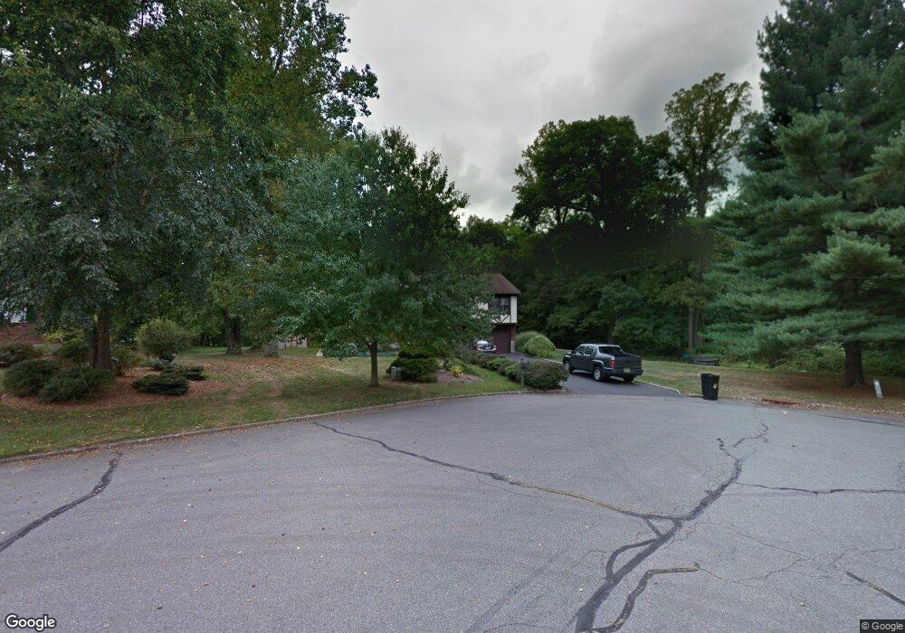
8 Farmstead Ct W Randolph, NJ 07869
Estimated Value: $769,480 - $823,000
--
Bed
--
Bath
2,064
Sq Ft
$386/Sq Ft
Est. Value
About This Home
This home is located at 8 Farmstead Ct W, Randolph, NJ 07869 and is currently estimated at $796,370, approximately $385 per square foot. 8 Farmstead Ct W is a home located in Morris County with nearby schools including Randolph High School, Randolph Middle School, and Apple Montessori Schools and Camps - Randolph.
Ownership History
Date
Name
Owned For
Owner Type
Purchase Details
Closed on
Apr 11, 1997
Sold by
Dearmas Antonio R
Bought by
Ulicki Miroslaw and Ulicki Alina
Current Estimated Value
Home Financials for this Owner
Home Financials are based on the most recent Mortgage that was taken out on this home.
Original Mortgage
$180,000
Interest Rate
7.26%
Purchase Details
Closed on
Sep 17, 1996
Sold by
Hancock Mary Ellen and Dearmas Mary Ellen
Bought by
Dearmas Antonio R
Purchase Details
Closed on
Nov 1, 1993
Sold by
Herdje Walter
Bought by
Dearmas Antonio and Dearmas Mary Ellen
Home Financials for this Owner
Home Financials are based on the most recent Mortgage that was taken out on this home.
Original Mortgage
$190,000
Interest Rate
6.77%
Create a Home Valuation Report for This Property
The Home Valuation Report is an in-depth analysis detailing your home's value as well as a comparison with similar homes in the area
Home Values in the Area
Average Home Value in this Area
Purchase History
| Date | Buyer | Sale Price | Title Company |
|---|---|---|---|
| Ulicki Miroslaw | $240,000 | -- | |
| Dearmas Antonio R | $181,000 | -- | |
| Dearmas Antonio | $225,000 | -- |
Source: Public Records
Mortgage History
| Date | Status | Borrower | Loan Amount |
|---|---|---|---|
| Closed | Ulicki Miroslaw | $180,000 | |
| Previous Owner | Dearmas Antonio | $190,000 |
Source: Public Records
Tax History Compared to Growth
Tax History
| Year | Tax Paid | Tax Assessment Tax Assessment Total Assessment is a certain percentage of the fair market value that is determined by local assessors to be the total taxable value of land and additions on the property. | Land | Improvement |
|---|---|---|---|---|
| 2025 | $12,122 | $428,200 | $216,600 | $211,600 |
| 2024 | $11,818 | $428,200 | $216,600 | $211,600 |
| 2023 | $11,818 | $428,200 | $216,600 | $211,600 |
| 2022 | $11,356 | $428,200 | $216,600 | $211,600 |
| 2021 | $11,356 | $428,200 | $216,600 | $211,600 |
| 2020 | $11,240 | $428,200 | $216,600 | $211,600 |
| 2019 | $11,112 | $428,200 | $216,600 | $211,600 |
| 2018 | $10,970 | $428,200 | $216,600 | $211,600 |
| 2017 | $10,833 | $428,200 | $216,600 | $211,600 |
| 2016 | $9,941 | $271,600 | $125,000 | $146,600 |
| 2015 | $9,821 | $271,600 | $125,000 | $146,600 |
| 2014 | $9,637 | $270,700 | $125,000 | $145,700 |
Source: Public Records
Map
Nearby Homes
- 75 Calais Rd
- 95A Calais Rd
- 187 Morris Turnpike
- 42 Quail Run
- 1 Pamela Dr
- 14 Linda Terrace
- 372 Dover Chester Rd
- 16 Seneca Trail
- 9 Longview Ave
- 3 Woodmont Dr
- 36 Ridgewood Dr Unit 154
- 56 Albert Ct
- 2 Wexford Ct
- 119 Woodmont Dr Unit 59
- 5 Albert Ct
- 56 Woodland Rd
- 60 Woodland Rd
- 67 Woodland Rd
- 28 Arowana Rd
- 16 Arowana Rd