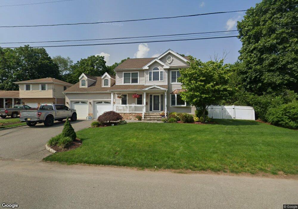
8 Father Hayes Dr Haskell, NJ 07420
Estimated Value: $597,000 - $766,000
--
Bed
--
Bath
2,696
Sq Ft
$254/Sq Ft
Est. Value
About This Home
This home is located at 8 Father Hayes Dr, Haskell, NJ 07420 and is currently estimated at $685,663, approximately $254 per square foot. 8 Father Hayes Dr is a home located in Passaic County with nearby schools including Lakeland Reg High School and St Marys School.
Ownership History
Date
Name
Owned For
Owner Type
Purchase Details
Closed on
Apr 2, 2004
Sold by
Raoul Suzanne
Bought by
Mccrohan Chris and Mccrohan Michele
Current Estimated Value
Create a Home Valuation Report for This Property
The Home Valuation Report is an in-depth analysis detailing your home's value as well as a comparison with similar homes in the area
Home Values in the Area
Average Home Value in this Area
Purchase History
| Date | Buyer | Sale Price | Title Company |
|---|---|---|---|
| Mccrohan Chris | $75,000 | -- |
Source: Public Records
Tax History Compared to Growth
Tax History
| Year | Tax Paid | Tax Assessment Tax Assessment Total Assessment is a certain percentage of the fair market value that is determined by local assessors to be the total taxable value of land and additions on the property. | Land | Improvement |
|---|---|---|---|---|
| 2025 | $16,782 | $389,100 | $93,400 | $295,700 |
| 2024 | $16,447 | $389,100 | $93,400 | $295,700 |
| 2022 | $16,101 | $389,100 | $93,400 | $295,700 |
| 2021 | $15,751 | $389,100 | $93,400 | $295,700 |
| 2020 | $15,576 | $389,100 | $93,400 | $295,700 |
| 2019 | $15,202 | $389,100 | $93,400 | $295,700 |
| 2018 | $14,903 | $389,100 | $93,400 | $295,700 |
| 2017 | $14,552 | $389,100 | $93,400 | $295,700 |
| 2016 | $14,194 | $389,100 | $93,400 | $295,700 |
| 2015 | $13,992 | $389,100 | $93,400 | $295,700 |
| 2014 | $13,716 | $389,100 | $93,400 | $295,700 |
Source: Public Records
Map
Nearby Homes
- 90 Burnside Place
- 25 Bergen Ave
- 17 Locust St
- 35 Smith Ave
- 5 Storms Place
- 9116 Warrens Way Unit 116
- 9116 Warrens Way
- 10316 Warrens Way
- 9312 Warrens Way
- 40 Burnside Place
- 8317 Warrens Way
- 8406 Warrens Way
- 748 Ringwood Ave
- 8415 Warrens Way
- 6116 Warrens Way
- 6311 Warrens Way
- 7414 Warrens Way Unit 414
- 7414 Warrens Way Unit DEEDED PARKING
- 6 Father Hayes Dr
- 14 Father Hayes Dr
- 10 Father Hayes Dr
- 4 Father Hayes Dr
- 1 Paul Place
- 2 Father Hayes Dr
- 2 Father Hayes Dr Unit 1
- 12 Father Hayes Dr
- 852 Ringwood Ave
- 3 Paul Place
- 4 Paul Place
- 5 Paul Place
- 3 Margaret Ct
- 863 Ringwood Ave
- 2 Bergen Ave
- 844 Ringwood Ave
- 855 Ringwood Ave
- 1 Margaret Ct
- 5 Margaret Ct
- 7 Paul Place